Beaches · North West England
Wader Point
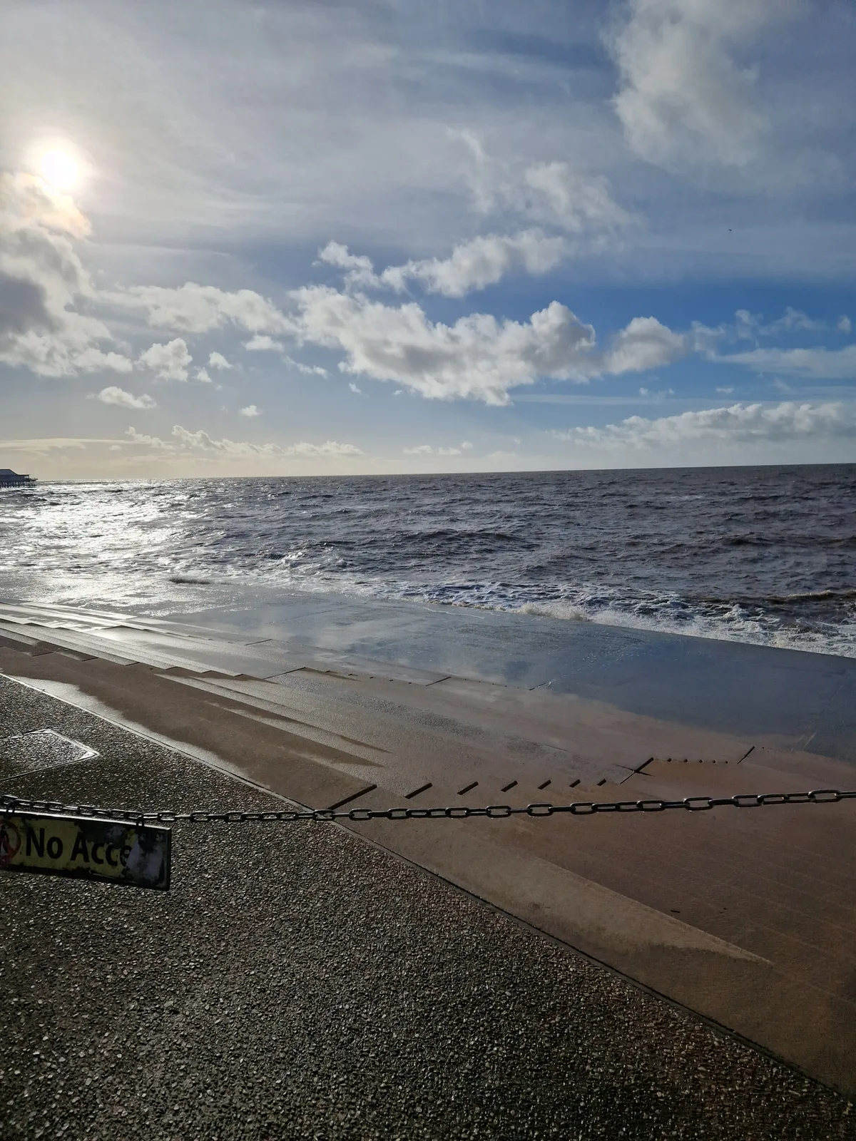
Wader Point is a beach in the United Kingdom.

David Dixon — CC BY-SA 2.0 via Wikimedia Commons licence
Plan your visit
- Typical visit
- 1 h–3 h
- Best time of year
- Summer (Jun–Aug)
- Nearest railway station
- Bury, Bolton Street · 2.2 km
- Free entry
- Family-friendly
- Dog-friendly
About
Wader Point is a named beach on the United Kingdom coastline. Coordinates: 53.5784°, -2.3223°. This entry is part of The Great Britain Guide, a free, ad-free, open-data tourist directory.
Photo gallery
Place summary
Wader Point is a beach located in North-West England, within the unparished area of Bury (postcode M26). It serves as a coastal area known for its natural environment.
AI-generated from the structured facts on this page (operator, designation, listing, era). Not a substitute for visiting.
- Coordinates
- 53.5784, -2.3223
- District
- Bury
- Parish
- Bury, unparished area
- Postcode
- M26 4FN
- Parliamentary constituency
- Bury South
- Nearest railway station
- Bury, Bolton Street — 2.2 km
Sources
- osm: n10119538278 (ODbL)
Other places nearby
Loading nearby places…
Nearby
 📷 3
📷 3Memorials & monuments · North West England
RW17
RW17 — a memorial in england-north-west, United Kingdom.
📷 3Memorials & monuments · North West England
RW16
RW16 — a memorial in england-north-west, United Kingdom.
📷 3Memorials & monuments · North West England
RW15
RW15 — a memorial in england-north-west, United Kingdom.
📷 3Memorials & monuments · North West England
RW18
RW18 — a memorial in england-north-west, United Kingdom.
 📷 3
📷 3Memorials & monuments · North West England
RW19
RW19 — a memorial in england-north-west, United Kingdom.
 📷 3
📷 3Memorials & monuments · North West England
RE6
RE6 — a memorial in england-north-west, United Kingdom.
More beaches in this region
 📷 3
📷 3Beaches · North West England
Blackpool Sands
Blackpool Sands — beach in Blackpool, Lancashire, England.
 📷 3
📷 3Beaches · North West England
Car Park Beach
Car Park Beach is a beach in the United Kingdom.
 📷 3
📷 3Beaches · North West England
Creek Beach North
Creek Beach North is a beach in the United Kingdom.
📷 3Beaches · North West England
Creek Beach South
Creek Beach South is a beach in the United Kingdom.
Frequently asked questions
- Where is Wader Point?
- Wader Point is in North-West England, United Kingdom (postcode M26 4FN), in the parish of Bury, unparished area.
- Is Wader Point free to visit?
- Yes, Wader Point is free to enter.
- How do I get to Wader Point?
- The nearest railway station is Bury, Bolton Street, about 2.2 km away. Drivers can navigate to postcode M26 4FN.