Reservoirs & lochs · East Midlands
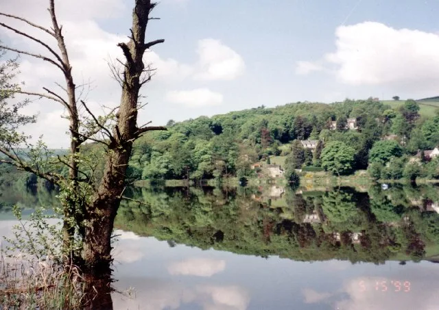
Ulley Reservoir
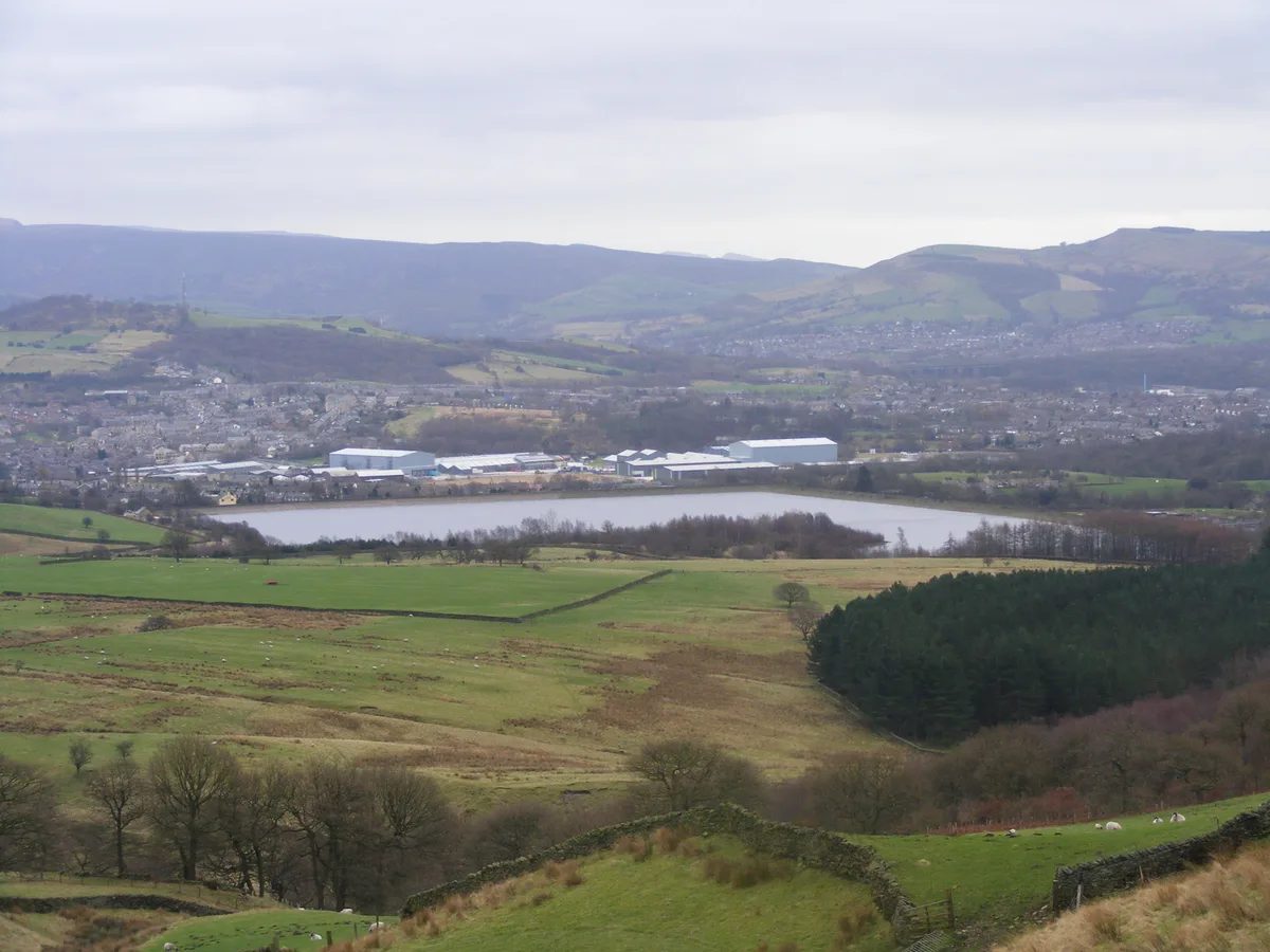
Ulley Reservoir — reservoir in South Yorkshire, England.

Wikimedia Commons contributors — see linked file page for photographer and licence licence
Plan your visit
- Typical visit
- 1 h–2.5 h
- Nearest railway station
- Woodhouse · 3.4 km
- Free entry
- Dog-friendly
About
Ulley Reservoir is a reservoir in the United Kingdom. Wikidata describes it as: "reservoir in South Yorkshire, England". Coordinates: 53.3800°, -1.3140°.
Photo gallery
From the Wikipedia article
Ulley Reservoir is a reservoir a few hundred yards to the west and downhill of the village of Ulley, 4 miles (6.4 km) south of Rotherham, South Yorkshire, England. It is 2.5 miles (4 km) away from junction 33 of the M1 motorway.
Excerpt from Wikipedia under CC BY-SA 4.0. See the source article linked in Sources below.
Background
History
The reservoir was built in 1871 by damming the brooks of Ulley and Morthen, to provide the town of Rotherham with approximately 180 million gallons (820 million litres) of drinking water per year. The reservoir is divided in two by a road bridge carrying Reservoir Road; one half is used for angling and dinghy sailing, and the other is now a nature reserve. The dam is an earth embankment made of a clay core and earth filled shoulders. In 1969 the dam wall was built up by 6.6 ft with plastic concrete and relevelled. The spillways and overflow are made of ashlar pitching set on concrete. It is 41.3 ft in height with a slope of 12.7 degrees, with two lateral overflow stepped spillways. The…
Sourced from Wikipedia under CC BY-SA 4.0.
- Coordinates
- 53.3800, -1.3140
- District
- Rotherham
- Parish
- Ulley
- Postcode
- S26 3YH
- Parliamentary constituency
- Rother Valley
- Nearest railway station
- Woodhouse — 3.4 km
Sources
- wikidata: Q7348499 (CC0)
- wikipedia: Ulley Reservoir (CC BY-SA 4.0)
- commons: Ulleyres.jpg (CC BY-SA 4.0)
Other places nearby
Loading nearby places…
Nearby
 📷 3
📷 3Public art & sculpture · East Midlands
In The Trees
In The Trees — a public art in england-east-midlands, United Kingdom.
📷 3Public art & sculpture · East Midlands
The Flood
The Flood — a public art in england-east-midlands, United Kingdom.
 📷 5
📷 5Historic churches · East Midlands
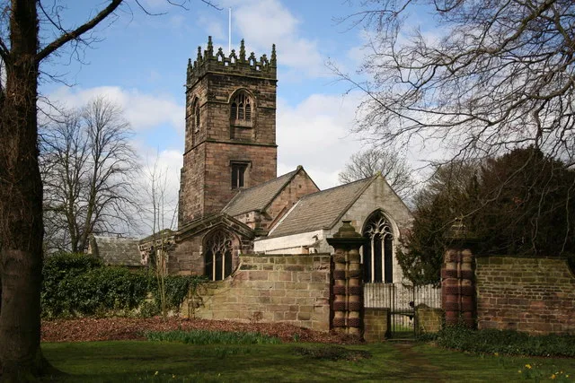
Church of All Saints, Aston cum Aughton
Church of All Saints, Aston cum Aughton — Grade I listed church in Aston cum Aughton, Rotherham, South Yorkshire, England, UK.
 📷 3
📷 3Towns & cities · East Midlands
Aston cum Aughton
Aston cum Aughton — civil parish in the Metropolitan Borough of Rotherham in South Yorkshire, England.
 📷 3
📷 3Towns & cities · East Midlands
Treeton
Treeton — village in South Yorkshire, UK.
 📷 3
📷 3Historic churches · East Midlands
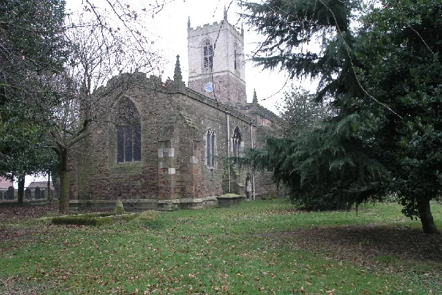
Church of St Helen, Treeton
Church of St Helen, Treeton — Grade I listed church in Treeton, Rotherham, South Yorkshire, England, UK.
More places in this region
 Flagship📷 5
Reservoirs & lochs · East Midlands
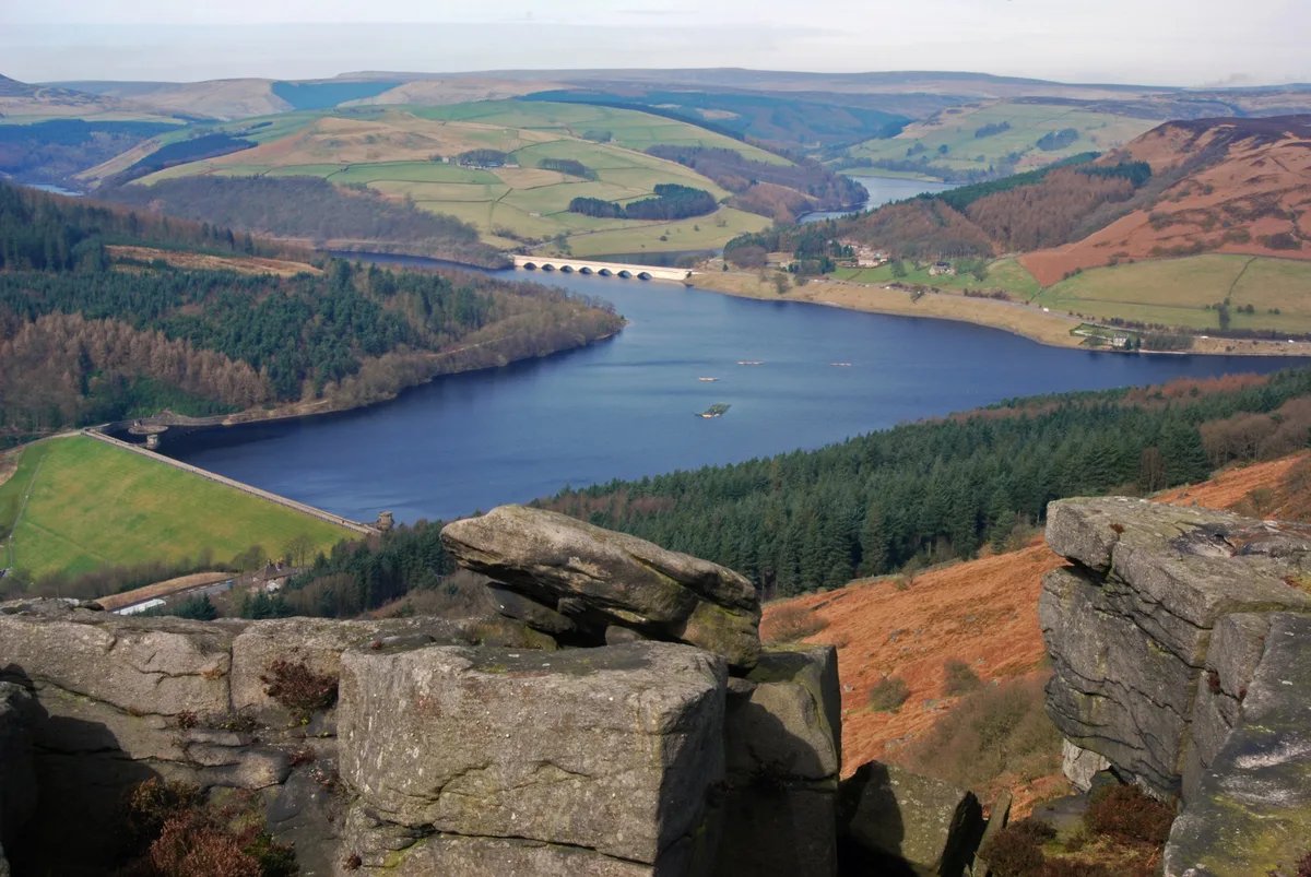
Ladybower Reservoir
Ladybower Reservoir — reservoir in Derbyshire, England.
 📷 3
📷 3Reservoirs & lochs · East Midlands
Toddbrook Reservoir
Toddbrook Reservoir — reservoir in Derbyshire, England, UK.
 📷 3
📷 3Reservoirs & lochs · East Midlands
Agden Reservoir
Agden Reservoir — reservoir in South Yorkshire, England, UK.
 📷 5
📷 5Reservoirs & lochs · East Midlands
Arnfield Reservoir
Arnfield Reservoir — reservoir in Derbyshire, England, UK.
Frequently asked questions
- Where is Ulley Reservoir?
- Ulley Reservoir is in East Midlands, in the United Kingdom — coordinates 53.3800°, -1.3140°. The nearest railway station is Woodhouse, around 3.4 km away.
- Is Ulley Reservoir free to visit?
- Yes — admission to Ulley Reservoir is free.