Mountains & hills · North Wales
Trum y Gwragedd
Trum y Gwragedd — Named summit at 612 m.

Wikimedia Commons contributors — see linked file page for photographer and licence licence
Plan your visit
- Typical visit
- 3 h–8 h
- Best time of year
- Late spring – early autumn (May–Oct)
- Nearest railway station
- Llangower · 5.3 km
- Free entry
- Dog-friendly
About
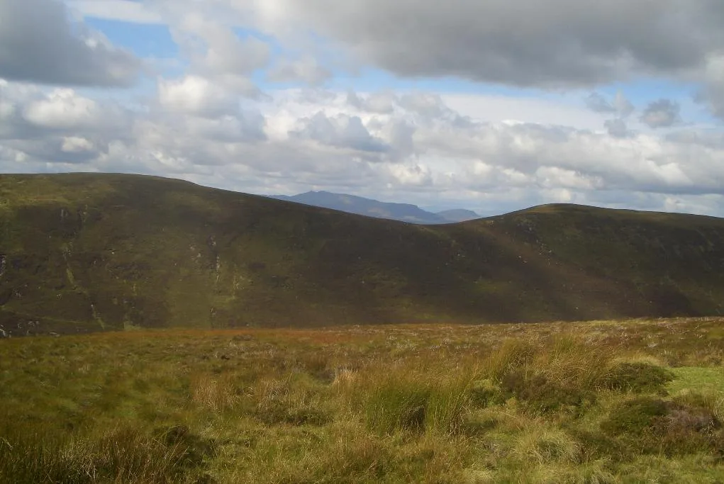
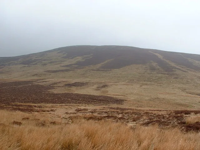
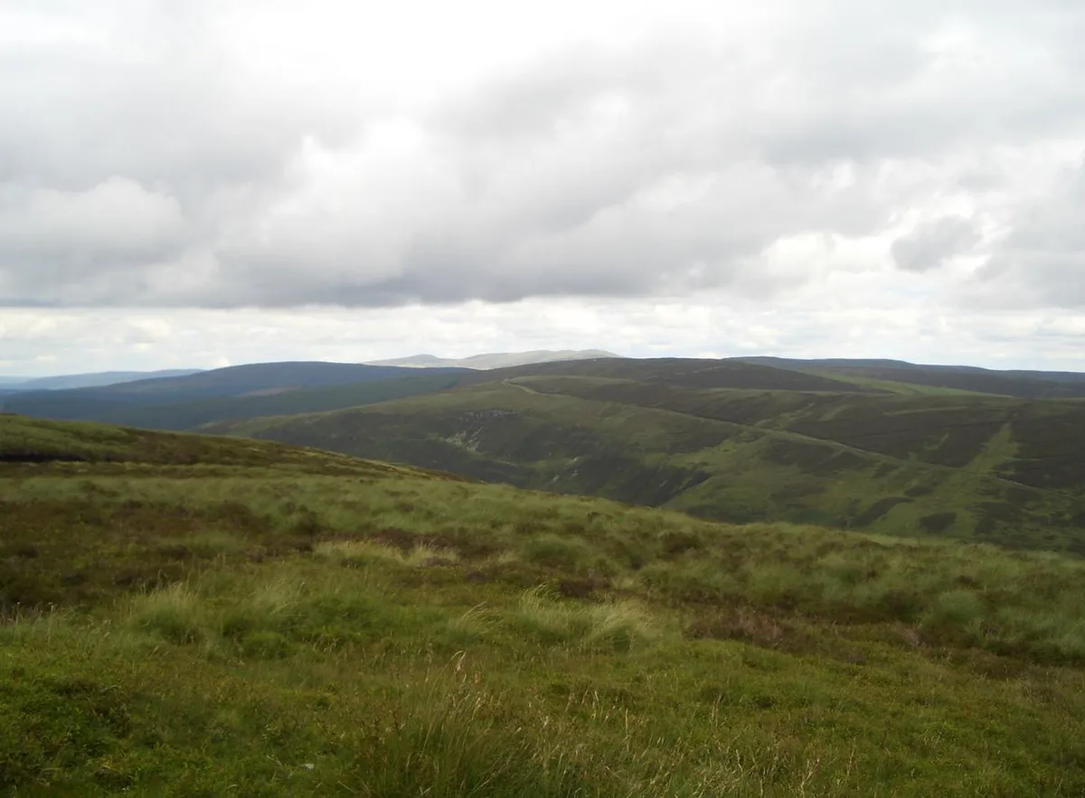
Trum y Gwragedd is a named summit in the United Kingdom. Wikidata describes it as: "Named summit at 612 m.". Coordinates: 52.8428°, -3.5735°.
Photo gallery
From the Wikipedia article
Trum y Gwragedd is a top of Foel y Geifr in the Hirnantau. These hills rise from the south east shores of Llyn Tegid (Bala Lake). The summit is boggy and marked by a few stones. To the south is Foel y Geifr and to the north is Foel Goch (Hirnant).
Excerpt from Wikipedia under CC BY-SA 4.0. See the source article linked in Sources below.
- Coordinates
- 52.8428, -3.5735
- Address
- Gwynedd, Wales
- Nearest railway station
- Llangower — 5.3 km
Sources
- osm: n3370580925 (ODbL)
- wikipedia: Trum y Gwragedd (CC BY-SA 4.0)
- commons: Foel y Geifr 381365.jpg (CC BY-SA 4.0)
Other places nearby
Loading nearby places…
Nearby
 📷 3
📷 3Mountains & hills · North Wales
Foel Goch
Foel Goch — Named summit at 613 m.
 📷 3
📷 3Natural landmarks · North Wales
Foel Goch
Foel Goch — mountain (612.7m) in Gwynedd.
 📷 3
📷 3Mountains & hills · North Wales
Foel Y Geifr
Foel Y Geifr — Named summit at 626 m.
 📷 3
📷 3Natural landmarks · North Wales
Foel y Geifr
Foel y Geifr — mountain (626m) in Gwynedd.
 📷 3
📷 3Mountains & hills · North Wales
Pen y Cerrig Duon
Pen y Cerrig Duon — a mountain in wales-north, United Kingdom, 611 m.
 📷 3
📷 3Natural landmarks · North Wales
Pen y Boncyn Trefeilw
Pen y Boncyn Trefeilw — mountain (646m) in Gwynedd.
More mountains in this region
 📷 5
📷 5Mountains & hills · North Wales
Cemlyn Bay and lagoon
Cemlyn Bay and lagoon — Site of Special Scientific Interest in Wales.
 📷 3
📷 3Mountains & hills · North Wales
Aberffraw Bay
Aberffraw Bay — bay on the west coast of Anglesey, in Wales, UK.
 📷 3
📷 3Mountains & hills · North Wales
Allt-fawr
Allt-fawr — Named summit at 698 m.
 📷 3
📷 3Mountains & hills · North Wales
Aran Benllyn
Aran Benllyn — Named summit at 884 m.
Frequently asked questions
- Where is Trum y Gwragedd?
- Trum y Gwragedd is in North Wales, United Kingdom.
- Is Trum y Gwragedd free to visit?
- Yes, Trum y Gwragedd is free to enter.
- How do I get to Trum y Gwragedd?
- The nearest railway station is Llangower, about 5.3 km away.