Hill forts · West Midlands
Tripontium
Tripontium — Town in Roman Britain.

Wikimedia Commons contributors — see linked file page for photographer and licence licence
Plan your visit
- Typical visit
- 1 h–2 h
- Nearest railway station
- Rugby · 4.2 km
- Free entry
- Dog-friendly
About
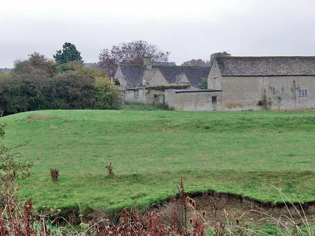
Tripontium is a hill fort in the United Kingdom. Heritage designation: scheduled monument. Wikidata describes it as: "Town in Roman Britain". Coordinates: 52.4092°, -1.2127°.
Photo gallery
From the Wikipedia article
Tripontium (Latin for "Place of three bridges") was a town in Roman Britain. It lay on the Roman road later called Watling Street (and known today as the A5) at a site now chiefly within the civil parish of Churchover in the English county of Warwickshire and partly in Leicestershire, some 3.4 miles north-east of Rugby and 3.1 miles south of Lutterworth.
Excerpt from Wikipedia under CC BY-SA 4.0. See the source article linked in Sources below.
- Coordinates
- 52.4092, -1.2127
- County
- Warwickshire
- District
- Rugby
- Parish
- Churchover
- Postcode
- LE17 6AR
- Parliamentary constituency
- Rugby
- Nearest railway station
- Rugby — 4.2 km
Sources
- wikidata: Q7843696 (CC0)
- wikipedia: Tripontium (CC BY-SA 4.0)
- commons: Tripontium bathouse remains.jpg (CC BY-SA 4.0)
Other places nearby
Loading nearby places…
Nearby
 📷 3
📷 3Archaeological sites · West Midlands
Tripontium Roman Town
Tripontium Roman Town — a archaeological in england-west-midlands, United Kingdom.
 📷 3
📷 3Archaeological sites · West Midlands
Tripontium Roman Station
Tripontium Roman Station — a archaeological in england-west-midlands, United Kingdom.
 📷 3
📷 3Manor houses · West Midlands
Shawell Manor
Shawell Manor — Grade II listed building-listed manor in england-west-midlands, United Kingdom.
 📷 5
📷 5Castles · West Midlands
Shawell
Shawell — a castle in england-west-midlands, United Kingdom.
 📷 3
📷 3Towns & cities · West Midlands
Newton
Newton — village in Warwickshire, United Kingdom.
 📷 5
📷 5Historic bridges · West Midlands
Dow Bridge
Dow Bridge — Grade II listed building-listed bridge in england-west-midlands, United Kingdom.
More places in this region
 Flagship📷 3
Hill forts · West Midlands
Mellor hill fort
Mellor hill fort — prehistoric site in North West England.
 📷 3
📷 3Hill forts · West Midlands
Ariconium
Ariconium — Ariconium was a road station of Roman Britain mentioned in Iter XIII of the Iter Britanniarum of the Antonine Itineraries. It was located at Bury Hill.
 📷 3
📷 3Hill forts · West Midlands
Ascot d'Oilly Castle
Ascot d'Oilly Castle — castle in Oxfordshire, England, UK.
 📷 3
📷 3Hill forts · West Midlands
Aves ditch
Aves ditch — archaeological site in Oxfordshire.
Frequently asked questions
- Where is Tripontium?
- Tripontium is in Warwickshire, the West Midlands, United Kingdom (postcode LE17 6AR), in the parish of Churchover.
- Is Tripontium a listed building?
- Tripontium is officially recognised as scheduled monument listed.
- Is Tripontium free to visit?
- Yes, Tripontium is free to enter.
- How do I get to Tripontium?
- The nearest railway station is Rugby, about 4.2 km away. Drivers can navigate to postcode LE17 6AR.