Historic bridges · West Midlands
Towpath Bridge At Sp 036 884 (Approximately 640 Metres South East Of Radbone Lane) Birmingham Canal Birmingham Level
Towpath Bridge At Sp 036 884 (Approximately 640 Metres South East Of Radbone Lane) Birmingham Canal Birmingham Level — Grade II listed building-listed bridge in england-west-midlands, United Kingdom.

Richard Law — CC BY-SA 2.0 via Wikimedia Commons licence
Plan your visit
- Typical visit
- 15 min–30 min
- Free entry
- Dog-friendly
About
Towpath Bridge At Sp 036 884 (Approximately 640 Metres South East Of Radbone Lane) Birmingham Canal Birmingham Level is a Grade II listed building-listed bridge in england-west-midlands, United Kingdom, registered on the National Heritage List for England (NHLE entry 1077155). Listed status protects buildings and structures of special architectural or historic interest. See the linked Wikipedia article for further details.
Photo gallery
Heritage listing
Details SANDWELL MB BIRMINGHAM CANAL SP 08 NW Birmingham Level, Smethwick 9/17 Towpath bridge at SP 036 884 (approx 640m south-east of Radbone Lane) II Bridge carrying northern towpath of Birmingham Canal over dis-used branch. Dates from widening of canal in 1827. Cast-iron. Brick abutments have stone dressings. Single elliptical arch. Sides each of two castings, bolted to central "keystone". Pierced in form of saltire crosses, with band of quatrefoils below handrail. Illegible inscription in south-west spandrel. Listing NGR: SP0366888446 Legacy The contents of this record have been generated from a legacy data system. Legacy System number: 219219 Legacy System: LBS
From the Historic England List Entry under OGL v3.
Place summary
The Towpath Bridge at SP 036 884 is located approximately 640 metres south-east of Radbone Lane in the West Midlands. This Grade II listed bridge spans the Birmingham Canal and is situated within the unparished area of Sandwell.
AI-generated from the structured facts on this page (operator, designation, listing, era). Not a substitute for visiting.
- Coordinates
- 52.4939, -1.9474
- District
- Sandwell
- Parish
- Sandwell, unparished area
- Postcode
- B66 2BG
- Parliamentary constituency
- Smethwick
- Official site
- openplaques.org
Sources
- wikidata: Q26343602 (CC0)
Other places nearby
Loading nearby places…
Nearby
 📷 3
📷 3Memorials & monuments · West Midlands
Blue Plaque: Soho Foundry
Blue Plaque: Soho Foundry — a memorial in england-west-midlands, United Kingdom.
 📷 3
📷 3Parks · West Midlands
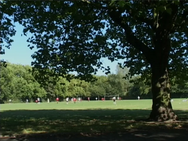
Black Patch Park
Black Patch Park — public a park in Smethwick, England.
 📷 3
📷 3Historic bridges · West Midlands
Roving Bridge Over West Entrance To Soho Loop
Roving Bridge Over West Entrance To Soho Loop — Grade II listed building-listed bridge in england-west-midlands, United Kingdom.
 📷 3
📷 3Historic bridges · West Midlands
Towpath Bridge At Soho Foundry (Approximately 160 Metres East Of Rabone Lane) Birmingham Canal Birmingham Level
Towpath Bridge At Soho Foundry (Approximately 160 Metres East Of Rabone Lane) Birmingham Canal Birmingham Level — Grade II listed building-listed bridge in england-west-midlands, United Kingdom.
 📷 3
📷 3Historic churches · West Midlands
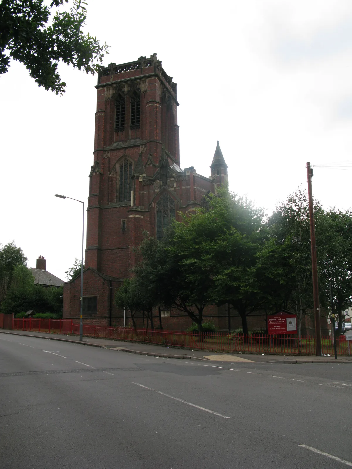
Bishop Latimer Memorial Church, Winson Green
Bishop Latimer Memorial Church, Winson Green — church in Winson Green, Birmingham, West Midlands, England, UK.
 📷 3
📷 3Theatres · West Midlands
Winson Green Picture House
Winson Green Picture House in England West Midlands, United Kingdom.
More bridges in this region
.jpg?width=1200) 📷 4
📷 4Historic bridges · West Midlands
Abbey Park Road
Abbey Park Road is a historic bridge in the United Kingdom.
 📷 3
📷 3Historic bridges · West Midlands
Albert Bridge
Albert Bridge is a historic bridge in the United Kingdom.
 📷 3
📷 3Historic bridges · West Midlands
Anchor Bridge
Anchor Bridge is a historic bridge in the United Kingdom.
.JPG?width=1200) 📷 5
📷 5Historic bridges · West Midlands
Appleford Railway Bridge
Appleford Railway Bridge is a historic bridge in the United Kingdom.
Frequently asked questions
- Where is Towpath Bridge At Sp 036 884 (Approximately 640 Metres South East Of Radbone Lane) Birmingham Canal Birmingham Level?
- Towpath Bridge At Sp 036 884 (Approximately 640 Metres South East Of Radbone Lane) Birmingham Canal Birmingham Level is in the West Midlands, United Kingdom (postcode B66 2BG), in the parish of Sandwell, unparished area.
- Is Towpath Bridge At Sp 036 884 (Approximately 640 Metres South East Of Radbone Lane) Birmingham Canal Birmingham Level a listed building?
- Towpath Bridge At Sp 036 884 (Approximately 640 Metres South East Of Radbone Lane) Birmingham Canal Birmingham Level is officially recognised as Grade II listed building listed.
- Is Towpath Bridge At Sp 036 884 (Approximately 640 Metres South East Of Radbone Lane) Birmingham Canal Birmingham Level free to visit?
- Yes, Towpath Bridge At Sp 036 884 (Approximately 640 Metres South East Of Radbone Lane) Birmingham Canal Birmingham Level is free to enter.
- How do I get to Towpath Bridge At Sp 036 884 (Approximately 640 Metres South East Of Radbone Lane) Birmingham Canal Birmingham Level?
- Drivers can navigate to postcode B66 2BG. It sits within the Smethwick parliamentary constituency.