Parks · West Midlands
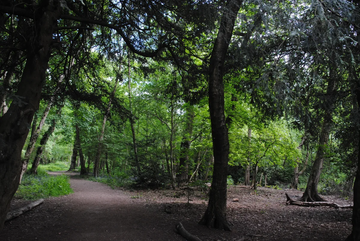
Black Patch Park
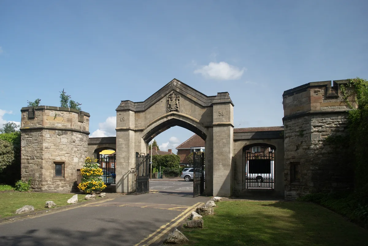
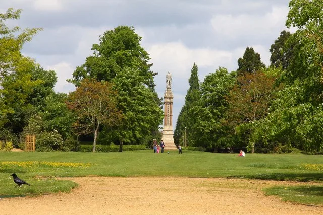
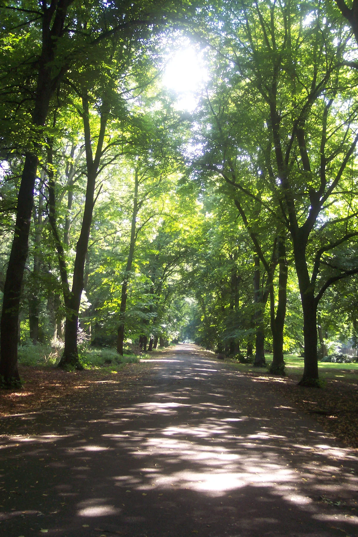
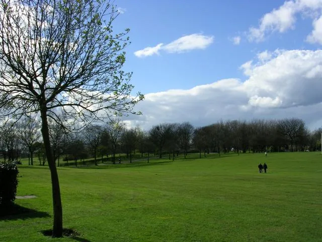
Black Patch Park — public a park in Smethwick, England.

Wikimedia Commons contributors — see linked file page for photographer and licence licence
Plan your visit
- Typical visit
- 1 h–2 h
- Nearest railway station
- Smethwick Rolfe Street · 1.7 km
- Free entry
- Family-friendly
- Dog-friendly
About
Black Patch Park is a public park in the United Kingdom. Records date its origin to 1911. Managed by Sandwell Metropolitan Borough Council. Wikidata describes it as: "public a park in Smethwick, England". Coordinates: 52.4970°, -1.9440°.
Photo gallery
From the Wikipedia article
Black Patch Park is a park in Smethwick, West Midlands, England. It is bounded by Foundry Lane, Woodburn Road, Perrott Street and Kitchener Street, at grid reference SP038888. The park, covering over 20 acres (81,000 m2), was part of a sparsely populated landscape of commons and woodland (known as The Black Patch), dotted with farms and cottages which has been transformed from heath to farmland then to a carefully laid out municipal park surrounded by engineering companies employing thousands of people; Tangyes, Nettlefolds, (later GKN plc), the Birmingham Railway Carriage and Wagon Company, Birmingham Aluminium Castings, ironworks, glassmaking and brewing. These factories, including the Soho Foundry, started by James Watt and Matthew Boulton are, but for foundations and frontages, almost all gone. Much of what is known about Black Patch Chaplin Park appears in a book by Ted Rudge, developed from an Open University degree thesis, and published by Birmingham City Council in 2003. Rudge's research records how, from the mid-19th century until they were evicted from it at the start of the 20th, the 'Black Patch' was the camping ground of a community of tent and vardo (caravan) dwellers who were to become integrated with 'gaujos' (non-Gypsies) in surrounding districts. The Gypsies on the Black Patch lived on a deep barren layer of furnace waste, which, after their eviction, was cleared down to grass growing soil to create a park. There is disputed evidence that Charlie Chaplin might have been born at Black Patch.
Excerpt from Wikipedia under CC BY-SA 4.0. See the source article linked in Sources below.
- Coordinates
- 52.4970, -1.9440
- District
- Sandwell
- Parish
- Sandwell, unparished area
- Postcode
- B18 4LX
- Parliamentary constituency
- Smethwick
- Established
- 1911
- Nearest railway station
- Smethwick Rolfe Street — 1.7 km
- Opening
- | website =
- Official site
- openplaques.org
Sources
- wikidata: Q4921435 (CC0)
- wikipedia: Black Patch Park (CC BY-SA 4.0)
- commons: BlackPatchAug04.jpg (CC BY-SA 4.0)
Other places nearby
Loading nearby places…
Nearby
 📷 3
📷 3Memorials & monuments · West Midlands
Blue Plaque: Soho Foundry
Blue Plaque: Soho Foundry — a memorial in england-west-midlands, United Kingdom.
 📷 3
📷 3Historic churches · West Midlands
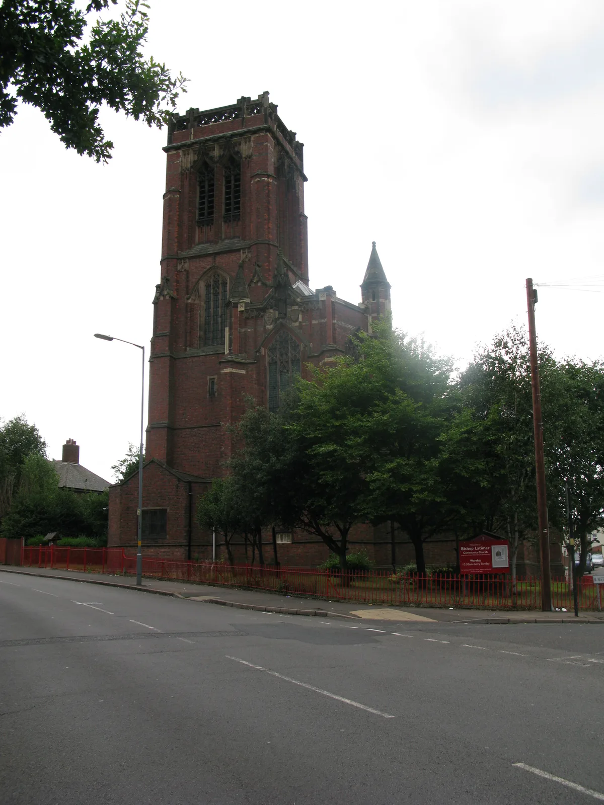
Bishop Latimer Memorial Church, Winson Green
Bishop Latimer Memorial Church, Winson Green — church in Winson Green, Birmingham, West Midlands, England, UK.
 📷 3
📷 3Historic bridges · West Midlands
Towpath Bridge At Sp 036 884 (Approximately 640 Metres South East Of Radbone Lane) Birmingham Canal Birmingham Level
Towpath Bridge At Sp 036 884 (Approximately 640 Metres South East Of Radbone Lane) Birmingham Canal Birmingham Level — Grade II listed building-listed bridge in england-west-midlands, United Kingdom.
.jpg?width=1200) 📷 4
📷 4Heritage railway stations · West Midlands
James Watt's Mad Machine (Winson Green Metro Entrance)
James Watt's Mad Machine (Winson Green Metro Entrance) — Public artwork (sculpture) by Tim Tolkien;Eric Klein Velderman;Paula Woof;pupils at James Watt Infants and Junior Schools.
 📷 5
📷 5Battlefields & battle sites · West Midlands
James Watt's Mad Machine
James Watt's Mad Machine in England West Midlands, United Kingdom.
 📷 3
📷 3Historic bridges · West Midlands
Towpath Bridge At Soho Foundry (Approximately 160 Metres East Of Rabone Lane) Birmingham Canal Birmingham Level
Towpath Bridge At Soho Foundry (Approximately 160 Metres East Of Rabone Lane) Birmingham Canal Birmingham Level — Grade II listed building-listed bridge in england-west-midlands, United Kingdom.
More places run by Sandwell Metropolitan Borough Council
 📷 3
📷 3Country parks · West Midlands
Dartmouth Park
Dartmouth Park — Public park in West Bromwich, England.
 📷 3
📷 3Country parks · West Midlands
Victoria Park
Victoria Park — public park in Tipton, Sandwell, West Midlands, England, UK.
 📷 3
📷 3Country parks · West Midlands
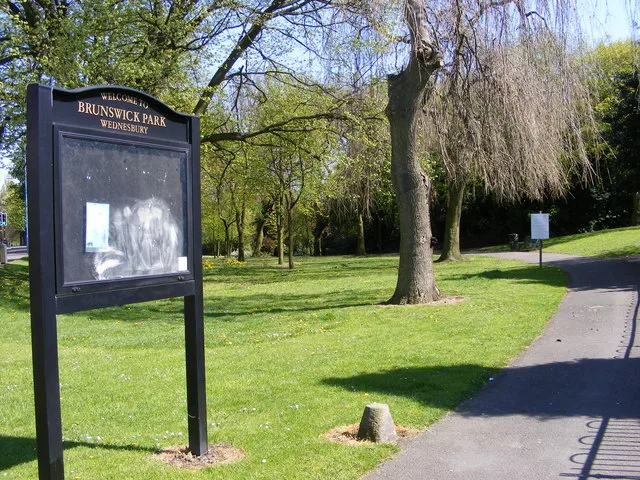
Brunswick Park
Brunswick Park — public park in Wednesbury, West Midlands, England, UK.
 📷 3
📷 3Archaeological sites · West Midlands
Holly Wood
Holly Wood — woodland nature reserve in Sandwell, England.
Other parks from this era
 Flagship📷 10
Parks · London
Addiscombe Railway Park
Addiscombe Railway Park — park in London Borough of Croydon, United Kingdom.
 Flagship📷 10
Parks · London
Kilburn Grange Park
Kilburn Grange Park — park in the United Kingdom.
 Flagship📷 10
Parks · London
Wardown Park
Wardown Park — large park with museum and river in Luton, Bedfordshire, England, UK.
 📷 5
📷 5Parks · London
Beckenham Place Park
Beckenham Place Park — park in London Borough of Lewisham, England, UK.
More parks in this region
 📷 4
📷 4Parks · West Midlands
Abbey Park
Abbey Park — public park in Leicester, England, UK.
 📷 4
📷 4Parks · West Midlands
Albert Park
Albert Park — park in Abingdon, Oxfordshire, England, UK.
 📷 4
📷 4Parks · West Midlands
Alexandra Park, Manchester
Alexandra Park, Manchester — park in Whalley Range, United Kingdom.
 📷 5
📷 5Parks · West Midlands
Buile Hill Park
Buile Hill Park — park in Seedley, Salford, Greater Manchester, England, UK.
Frequently asked questions
- Where is Black Patch Park?
- Black Patch Park is in the West Midlands, United Kingdom (postcode B18 4LX), in the parish of Sandwell, unparished area.
- When was Black Patch Park built?
- Built or established in 1911.
- Who owns Black Patch Park?
- Black Patch Park is owned by Sandwell Council and operated by Sandwell Metropolitan Borough Council.
- Is Black Patch Park free to visit?
- Yes, Black Patch Park is free to enter.
- How do I get to Black Patch Park?
- The nearest railway station is Smethwick Rolfe Street, about 1.7 km away. Drivers can navigate to postcode B18 4LX.