Mountains & hills · South East England
Totland Bay
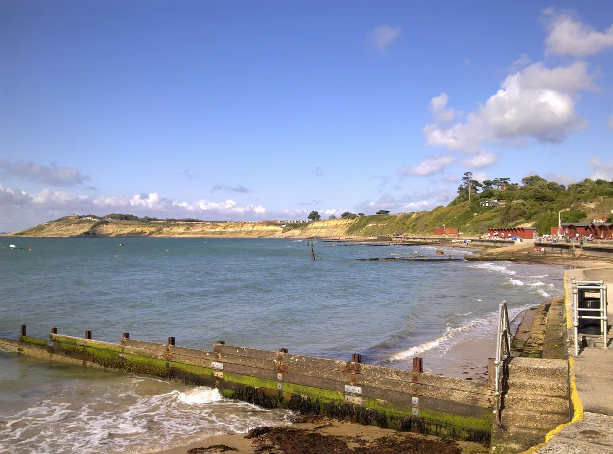
Totland Bay — bay on the Isle of Wight.

Wikimedia Commons contributors — see linked file page for photographer and licence licence
Plan your visit
- Typical visit
- 3 h–8 h
- Best time of year
- Late spring – early autumn (May–Oct)
- Nearest railway station
- Lymington Pier · 8.8 km
- Free entry
- Dog-friendly
About
Totland Bay is a named summit in the United Kingdom. Part of English Channel. Wikidata describes it as: "bay on the Isle of Wight". Coordinates: 50.6800°, -1.5514°.
Photo gallery
Protected designations
- Area of Outstanding Natural Beauty: Isle Of Wight
Designations sourced from Natural England open data under OGL v3.
From the Wikipedia article
Totland Bay is a bay on the west coast of the Isle of Wight, England. It lies one-quarter of an mile (0.4 km) to the west of the village of Totland from which it takes its name. It faces north west and has a 2.5-mile-long (4.0 km) shoreline, which has a beach, concrete seawall, groynes and 450-foot-long (140 m) Victorian pier. It stretches from Warden Point in the north to Hatherwood Point in the south-west. The seabed is a mixture of mud and sand, clear of many underwater outcrops, this makes it a popular anchorage point for vessels. The beach is predominantly shingle. Since 2001 the quality of the beach has been high enough for it to be awarded the Seaside Award Flag. In the summer, litter and seaweed are removed each day, with the latter being composted by local farmers. Currently, the pier is being refurbished to re-open the cafe which was there before. The bay is best viewed from Headon Warren or anywhere along the concrete seawall. The Isle of Wight Coastal Path runs along the seawall from Warden Point to Widdick Chine. Between 1885 and 1924, Totland Bay Lifeboat Station operated in the area. Weston Academy, which closed in 2015 is located in the bay area.
Excerpt from Wikipedia under CC BY-SA 4.0. See the source article linked in Sources below.
- Coordinates
- 50.6800, -1.5514
- District
- Isle of Wight
- Parish
- Totland
- Postcode
- PO39 0EN
- Parliamentary constituency
- Isle of Wight West
- Nearest railway station
- Lymington Pier — 8.8 km
Sources
- wikidata: Q7828343 (CC0)
- wikipedia: Totland Bay (CC BY-SA 4.0)
- commons: Totland Bay from Headon Warren.jpg (CC BY-SA 4.0)
Other places nearby
Loading nearby places…
Nearby
 📷 5
📷 5Mountains & hills · South East England
Colwell Bay
Colwell Bay — Isle of Wight, England.
Hostels · South East England
YHA Totland Bay
YHA Totland Bay — a hostel in england south east.
 📷 5
📷 5Quarries · South East England
Lacey's Farm Quarry
Lacey's Farm Quarry is a quarry in the United Kingdom.
 📷 5
📷 5Historic churches · South East England
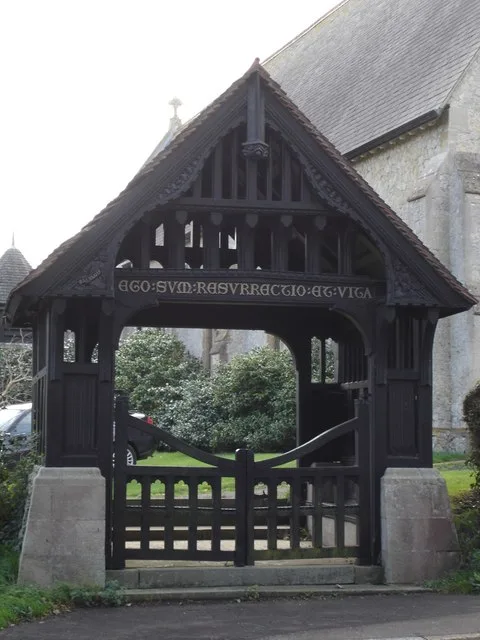
Christ Church, Totland
Christ Church, Totland — church in United Kingdom.
 📷 5
📷 5Memorials & monuments · South East England
Totland Bay War Memorial
Totland Bay War Memorial — Grade II listed building-listed memorial in england-south-east, United Kingdom.
 📷 5
📷 5Forts · South East England
Fort Ruins
Fort Ruins is a fort in the United Kingdom.
More mountains in this region
 📷 5
📷 5Mountains & hills · South East England
Alum Bay
Alum Bay is a mountain or hill in the United Kingdom.
 📷 5
📷 5Mountains & hills · South East England
Arish Mell
Arish Mell — bay in Dorset, England.
 📷 5
📷 5Mountains & hills · South East England
Balaclava Bay
Balaclava Bay — bay in Dorset, England.
 📷 5
📷 5Mountains & hills · South East England
Balch Cave
Balch Cave — Cave in Somerset, England.
Frequently asked questions
- Where is Totland Bay?
- Totland Bay is in South-East England, United Kingdom (postcode PO39 0EN), in the parish of Totland.
- Is Totland Bay a protected site?
- Yes — Totland Bay is part of the Isle Of Wight National Landscape (AONB).
- Is Totland Bay free to visit?
- Yes, Totland Bay is free to enter.
- How do I get to Totland Bay?
- Drivers can navigate to postcode PO39 0EN. It sits within the Isle of Wight West parliamentary constituency.