Viewpoints · West Midlands
Toposcope
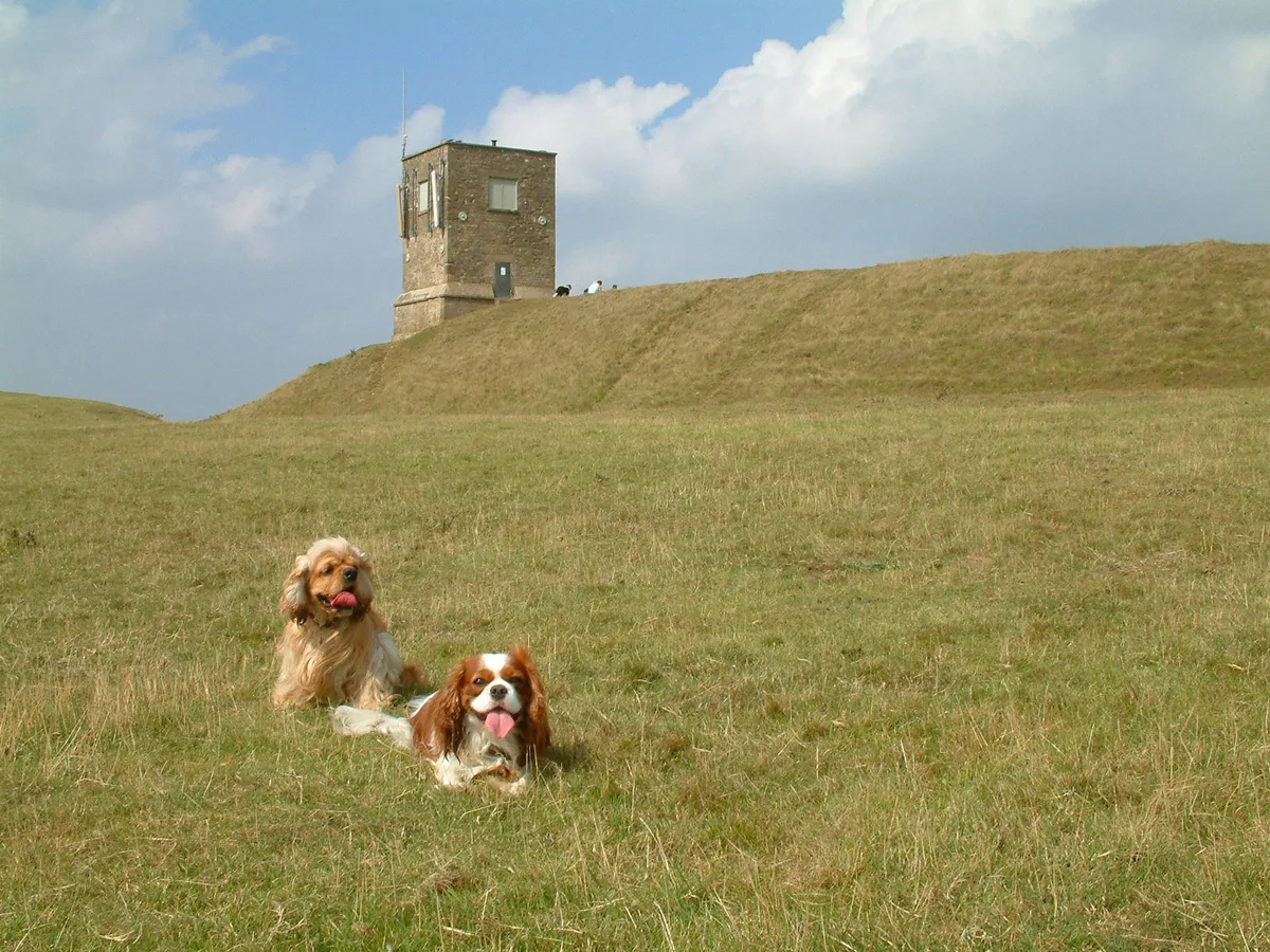
Toposcope is a viewpoint in the United Kingdom.

Trevor Rickard — CC BY-SA 2.0 via Wikimedia Commons licence
Plan your visit
- Typical visit
- 20 min–45 min
- Best time of year
- Clear days year-round
- Nearest railway station
- Ashchurch for Tewkesbury · 7.5 km
- Free entry
- Dog-friendly
About
Toposcope is a named viewpoint in Worcestershire, the West Midlands, marked on Ordnance Survey maps for its outlook. The site is within the Cotswolds National Landscape (AONB), and is a designated Site of Special Scientific Interest. It sits within the West Worcestershire parliamentary constituency. The nearest railway station is Ashchurch for Tewkesbury, about 7.5 km away. Postcode area GL20.
Photo gallery
Protected designations
- Site of Special Scientific Interest: Bredon Hill SSSI
- Area of Outstanding Natural Beauty: Cotswolds
Designations sourced from Natural England open data under OGL v3.
From the Wikipedia article
A toposcope, topograph, or orientation table is a kind of graphic display erected at viewing points on hills, mountains or other high places which indicates the direction, and usually the distance, to notable landscape features which can be seen from that point. They are often placed in public parks, country parks, the grounds of stately homes, at popular vantage points (especially accompanying or built into triangulation stations) or places of historical note, such as battlefields. Toposcopes usually show the points of the compass, or at least North. Smaller toposcopes usually consist of a circular plaque, or a plaque with a circle marked on it, mounted horizontally on a plinth. They will have radiating lines indicating the direction to various landmarks, together with the distance and often a pictorial representation of the landmark. They are frequently constructed of a metal such as bronze, cast or etched, set on top of a concrete or stone block, which provides weather- and vandal-resistance. Large toposcopes may be circular paved areas, with numerous plaques around the perimeter, each indicating a particular feature of the landscape.
Excerpt from Wikipedia under CC BY-SA 4.0. See the source article linked in Sources below.
- Coordinates
- 52.0608, -2.0634
- County
- Worcestershire
- District
- Wychavon
- Parish
- Overbury
- Postcode
- GL20 7PH
- Parliamentary constituency
- West Worcestershire
- Nearest railway station
- Ashchurch for Tewkesbury — 7.5 km
Sources
- osm: n4991834454 (ODbL)
- wikipedia: Toposcope (CC BY-SA 4.0)
Other places nearby
Loading nearby places…
Nearby
 📷 5
📷 5Mountains & hills · West Midlands
Bredon Hill
Bredon Hill — Named summit at 299 m.
 📷 3
📷 3Natural landmarks · West Midlands
Banbury Stone
Banbury Stone — a other in england-west-midlands, United Kingdom.
Vineyards · West Midlands
Kemerton Camp
Kemerton Camp — a UK vineyard in england west midlands, producing English or Welsh wine from cool-climate grape varieties.
 📷 3
📷 3Follies · West Midlands
Parsons' Folly
Parsons' Folly — Folly or eyecatcher.
 📷 3
📷 3Hill forts · West Midlands
Kemerton Camp Hillfort
Kemerton Camp Hillfort — a hill fort in england-west-midlands, United Kingdom.
📷 3Hill forts · West Midlands
Kemerton Camp Hill Fort
Kemerton Camp Hill Fort — a hill fort in england-west-midlands, United Kingdom.
More viewpoints in this region
 📷 4
📷 4Viewpoints · West Midlands
Ambion Hill
Ambion Hill is a viewpoint in the United Kingdom.
 📷 3
📷 3Viewpoints · West Midlands
Apedale Winding Wheel
Apedale Winding Wheel is a viewpoint in the United Kingdom.
 📷 3
📷 3Viewpoints · West Midlands
Baggeridge Toposcope
Baggeridge Toposcope is a viewpoint in the United Kingdom.
 📷 3
📷 3Viewpoints · West Midlands
Barrett Bridge
Barrett Bridge is a viewpoint in the United Kingdom.
Frequently asked questions
- Where is Toposcope?
- Toposcope is in Worcestershire, the West Midlands, United Kingdom (postcode GL20 7PH), in the parish of Overbury.
- Is Toposcope a protected site?
- Yes — Toposcope is part of the Bredon Hill SSSI Site of Special Scientific Interest and the Cotswolds National Landscape (AONB).
- Is Toposcope free to visit?
- Yes, Toposcope is free to enter.
- How do I get to Toposcope?
- The nearest railway station is Ashchurch for Tewkesbury, about 7.5 km away. Drivers can navigate to postcode GL20 7PH.