Parks · East of England
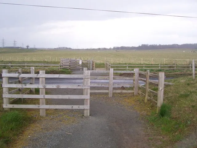
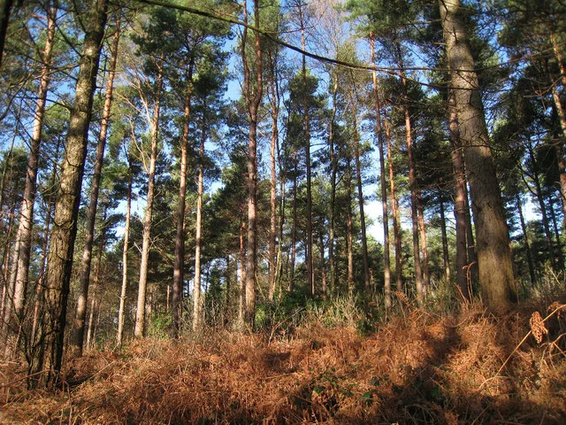
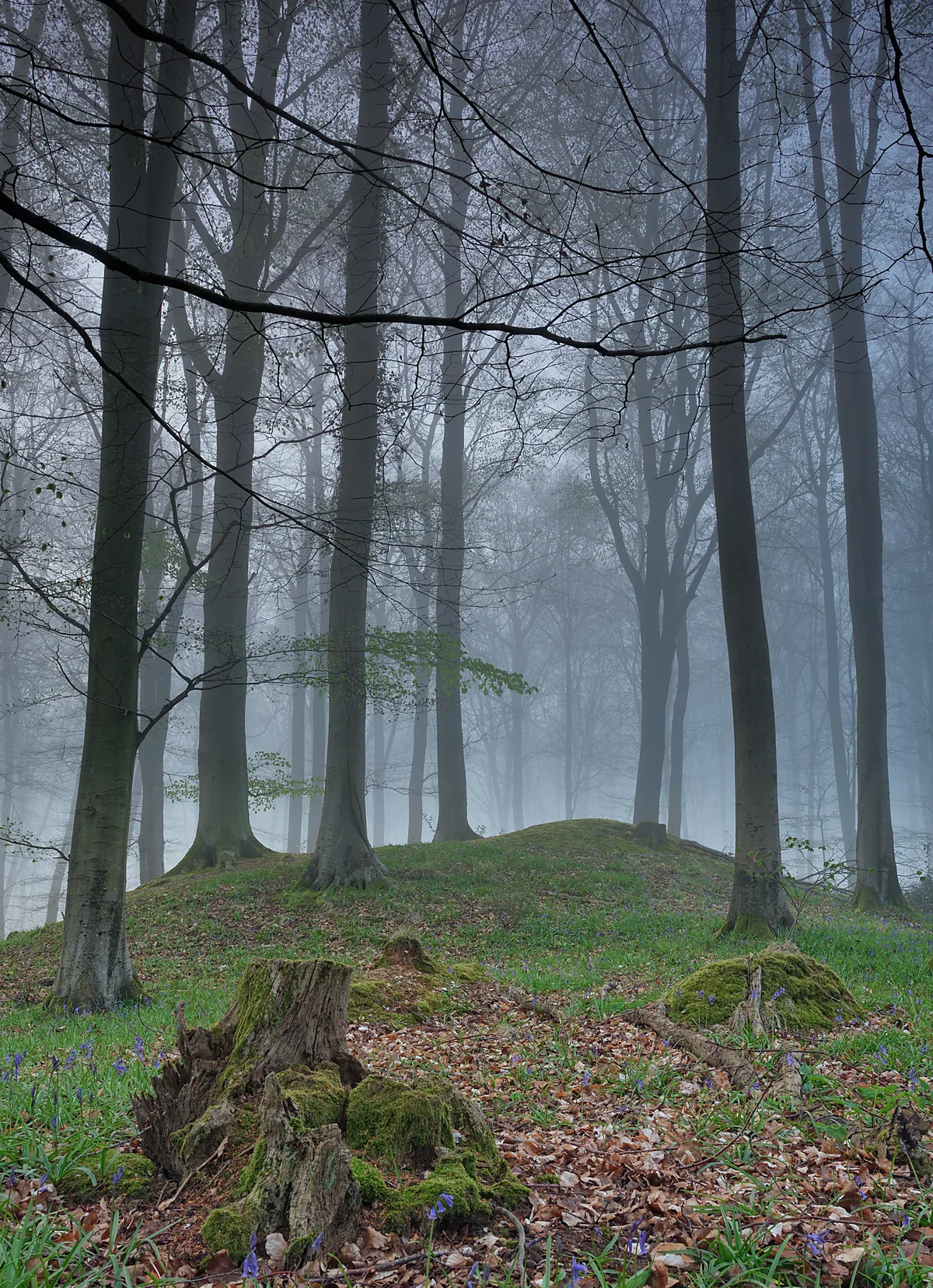
Thetford Forest
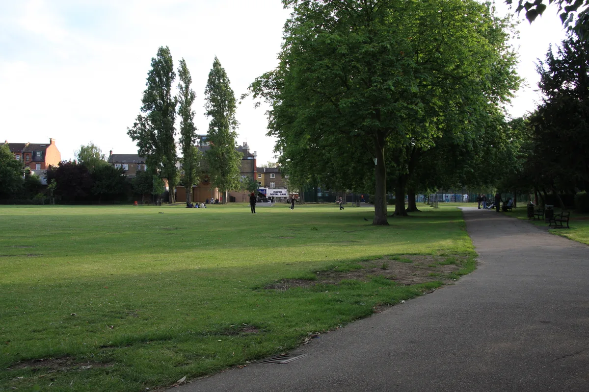
Thetford Forest — park in Norfolk, United Kingdom.

Wikimedia Commons contributors — see linked file page for photographer and licence licence
Plan your visit
- Typical visit
- 1 h–2 h
- Nearest railway station
- Brandon · 1.7 km
- Free entry
- Family-friendly
- Dog-friendly
About
Thetford Forest is a public park in the United Kingdom. Records date its origin to 1922. Managed by Forestry Commission. Wikidata describes it as: "park in Norfolk, United Kingdom". Coordinates: 52.4603°, 0.6480°.
Photo gallery
Protected designations
- Site of Special Scientific Interest: Breckland Forest SSSI
- Site of Special Scientific Interest: Breckland Farmland SSSI
Designations sourced from Natural England open data under OGL v3.
From the Wikipedia article
Thetford Forest is the largest lowland pine forest in Great Britain and is located in a region straddling the north of Suffolk and the south of Norfolk in England. It covers over 19,000 ha (47,000 acres) in the form of a Site of Special Scientific Interest.
Excerpt from Wikipedia under CC BY-SA 4.0. See the source article linked in Sources below.
Background
History
Thetford Forest was created after the First World War to provide a strategic reserve of timber, since the country had lost so many oaks and other slow-growing trees as a consequence of the war's demands. It is managed by Forestry England. The creation of the forest destroyed much of the typical Breckland environment of gorse and sandy ridges, ending the frequent sand blows (where the wind picked up sand and blew it across the land reducing visibility). However, this environment was itself man-made, since the area had been denuded by flint-mining, the construction of rabbit warrens and other activities. Grime's Graves is located within the forest.
Visiting
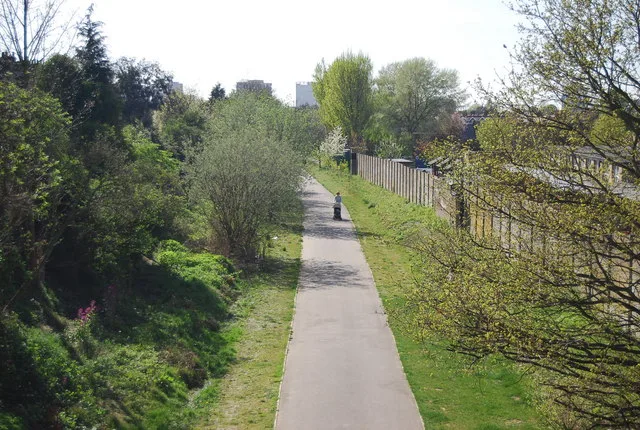
Four main roads bisect the forest at various points; A11, A134, A1064, A1065 and several minor roads. The forest towns of Brandon and Thetford are linked by the railway and the Little Ouse Path which approximately follows the course of the River Little Ouse.
Sourced from Wikipedia under CC BY-SA 4.0.
- Coordinates
- 52.4603, 0.6480
- County
- Suffolk
- District
- West Suffolk
- Parish
- Santon Downham
- Postcode
- IP27 0TN
- Parliamentary constituency
- West Suffolk
- Established
- 1922
- Nearest railway station
- Brandon — 1.7 km
- Opening
- All year
- Official site
- www.forestryengland.uk
Sources
- wikidata: Q7783568 (CC0)
- wikipedia: Thetford Forest (CC BY-SA 4.0)
- commons: Thetford forest dtab.jpg (CC BY-SA 4.0)
Other places nearby
Loading nearby places…
Nearby
 📷 3
📷 3Public art & sculpture · East of England
Santon Downham Village Sign
Santon Downham Village Sign — a public art in england-east, United Kingdom.
 📷 3
📷 3Archaeological sites · East of England
Pepper Hill
Pepper Hill — a archaeological in england-east, United Kingdom.
 📷 4
📷 4Heritage railway stations · East of England
Brandon railway station
Brandon railway station — a Grade II*-listed railway station in england-east, United Kingdom.
B&Bs · East of England
Ram Hotel
Ram Hotel — a bed-and-breakfast in england east.
 📷 3
📷 3Museums · East of England
Brandon Heritage Centre
Brandon Heritage Centre — a museum in england-east, United Kingdom.
 📷 5
📷 5Museums · East of England
Brandon, Suffolk
Brandon is a town and civil parish in the English county of Suffolk. Brandon is located in the Breckland area of Suffolk in the extreme north-west of the county, close to the adjoining county of Norfo
More places run by Forestry Commission
 📷 5
📷 5Parks · London
Jeskyns
Jeskyns — park in United Kingdom.
 📷 5
📷 5Archaeological sites · South East England
Bedgebury Forest
Bedgebury Forest — forest in Kent, England.
 📷 5
📷 5Archaeological sites · South East England
Multi-period site in Micheldever Wood
Multi-period site in Micheldever Wood — wood in Hampshire, UK, containing archaeological features.
 📷 3
📷 3Archaeological sites · South West England
Stock Hill
Stock Hill — Forestry Commission plantation in Chewton Mendip, Somerset, UK.
Other parks from this era
 Flagship📷 10
Parks · London
Addiscombe Railway Park
Addiscombe Railway Park — park in London Borough of Croydon, United Kingdom.
 Flagship📷 10
Parks · London
Kilburn Grange Park
Kilburn Grange Park — park in the United Kingdom.
 Flagship📷 10
Parks · London
Wardown Park
Wardown Park — large park with museum and river in Luton, Bedfordshire, England, UK.
 📷 5
📷 5Parks · London
Beckenham Place Park
Beckenham Place Park — park in London Borough of Lewisham, England, UK.
More parks in this region
 📷 5
📷 5Parks · East of England
Chantry Park
Chantry Park — park in Ipswich, Suffolk, England, UK.
 📷 3
📷 3Parks · East of England
Henham Park
Henham Park — park in Wangford with Henham, East Suffolk, Suffolk, England, UK.
 📷 3
📷 3Parks · East of England
Wivenhoe Park
Wivenhoe Park — area of parkland near Colchester.
 📷 3
📷 3Parks · East of England
Alexandra Park
Alexandra Park — park in Ipswich, Suffolk, United Kingdom.
Frequently asked questions
- Where is Thetford Forest?
- Thetford Forest is in Suffolk, East of England, United Kingdom (postcode IP27 0TN), in the parish of Santon Downham.
- When was Thetford Forest built?
- Built or established in 1922.
- Who owns Thetford Forest?
- Thetford Forest is owned by Forestry England and operated by Forestry Commission.
- Is Thetford Forest a protected site?
- Yes — Thetford Forest is part of the Breckland Forest SSSI Site of Special Scientific Interest and the Breckland Farmland SSSI Site of Special Scientific Interest.
- Is Thetford Forest free to visit?
- Yes, Thetford Forest is free to enter.
- How do I get to Thetford Forest?
- The nearest railway station is Brandon, about 1.7 km away. Drivers can navigate to postcode IP27 0TN.