Archaeological sites · South East England
Bedgebury Forest
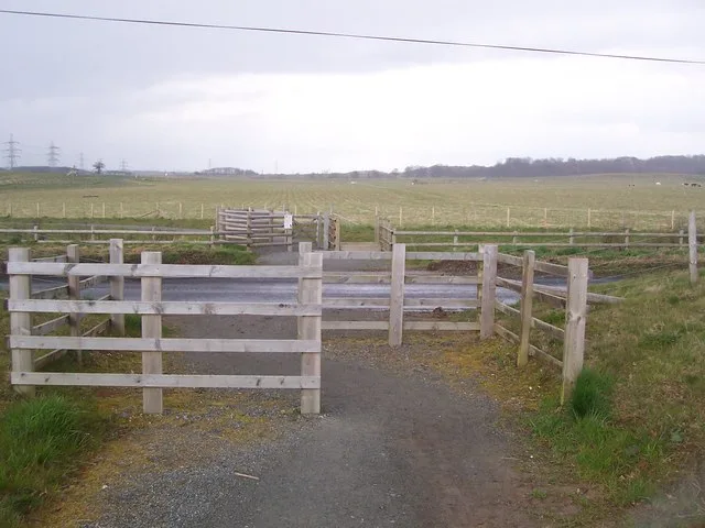
Bedgebury Forest — forest in Kent, England.

Wikimedia Commons contributors — see linked file page for photographer and licence licence
Plan your visit
- Typical visit
- 45 min–1.5 h
- Nearest railway station
- Etchingham · 6.6 km
- Free entry
- Dog-friendly
About
Bedgebury Forest is an archaeological site in the United Kingdom. Managed by Forestry Commission. Wikidata describes it as: "forest in Kent, England". Coordinates: 51.0682°, 0.4634°.
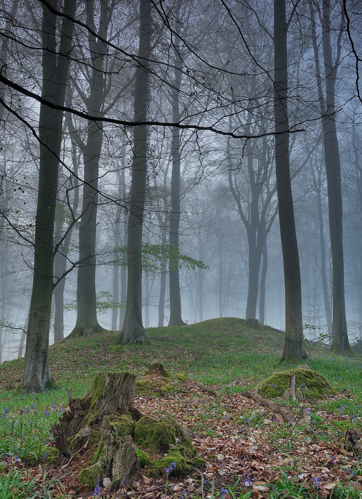
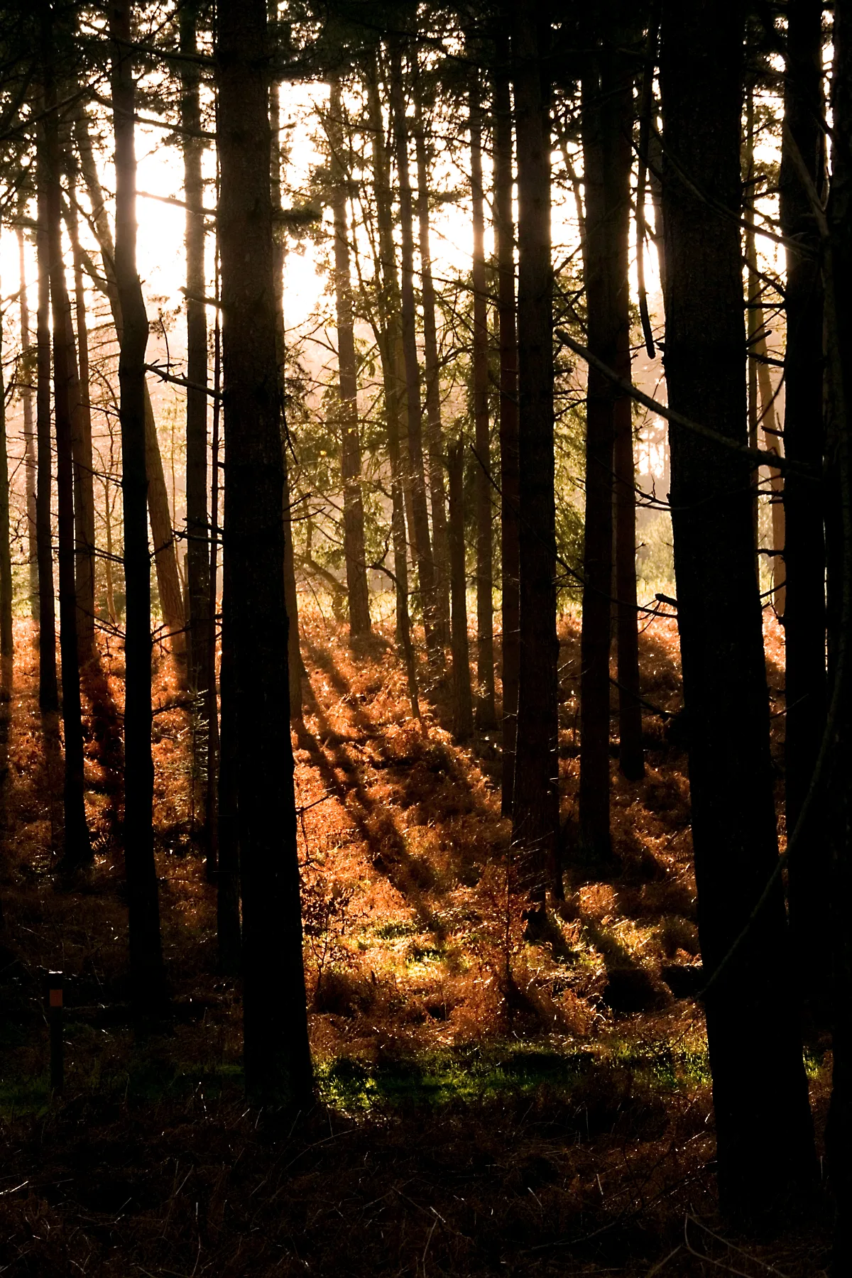
Photo gallery
Protected designations
- Area of Outstanding Natural Beauty: High Weald
- Area of Outstanding Natural Beauty: Kent Downs
Designations sourced from Natural England open data under OGL v3.
From the Wikipedia article
Bedgebury Forest is a 10.5 square kilometres (2,600 acres) forest surrounding Bedgebury National Pinetum, near Flimwell in Kent. In contrast to the National Pinetum, which contains exclusively coniferous trees, the forest contains both deciduous and coniferous species. It forms part of the High Weald Area of Outstanding Natural Beauty, and is one of the so-called "Seven Wonders Of The Weald". Bedgebury Forest has facilities for cycling, mountain biking, riding, orienteering and adventure play.
Excerpt from Wikipedia under CC BY-SA 4.0. See the source article linked in Sources below.
Background
History
Bedgebury is first mentioned in an Anglo-Saxon charter in AD 841, the name deriving from the Old English bycgan, meaning "buy", and the Kentish , meaning "to bend or turn", possibly about a stream. Bedgebury Forest has always been wooded and is classed as an ancient woodland. Heather is present, which indicates that parts of the forest may have been managed as wooded heath. Streams in the Forest show evidence of dams, storing water for the Wealden iron industry and later the ornamental lakes on the Bedgebury Estate.
Sourced from Wikipedia under CC BY-SA 4.0.
- Coordinates
- 51.0682, 0.4634
- County
- Kent
- District
- Tunbridge Wells
- Parish
- Hawkhurst
- Postcode
- TN18 5HA
- Parliamentary constituency
- Tunbridge Wells
- Nearest railway station
- Etchingham — 6.6 km
Sources
- wikidata: Q4879254 (CC0)
- wikipedia: Bedgebury Forest (CC BY-SA 4.0)
- commons: Bedgebury Forest.jpg (CC BY-SA 4.0)
Other places nearby
Loading nearby places…
Nearby
Mountain bike trails · South East England
Fibreglass Trees
Fibreglass Trees — a mtb trail in england south east.
Mountain bike trails · South East England
Singletrack Mountain Bike Trail
Singletrack Mountain Bike Trail — a mtb trail in england south east.
Mountain bike trails · South East England
Family Cycle Route
Family Cycle Route — a mtb trail in england south east.
Mountain bike trails · South East England
Starvegoose
Starvegoose — a mtb trail in england south east.
Mountain bike trails · South East England
Starvegoose
Starvegoose — a mtb trail in england south east.
Mountain bike trails · South East England
Starvegoose
Starvegoose — a mtb trail in england south east.
More places run by Forestry Commission
 📷 5
📷 5Parks · London
Jeskyns
Jeskyns — park in United Kingdom.
 📷 5
📷 5Archaeological sites · South East England
Multi-period site in Micheldever Wood
Multi-period site in Micheldever Wood — wood in Hampshire, UK, containing archaeological features.
 📷 3
📷 3Archaeological sites · South West England
Stock Hill
Stock Hill — Forestry Commission plantation in Chewton Mendip, Somerset, UK.
 📷 5
📷 5Parks · East of England
Thetford Forest
Thetford Forest — park in Norfolk, United Kingdom.
More archaeological sites in this region
 Flagship📷 6
Archaeological sites · South East England
America Wood
America Wood — biological Site of Special Scientific Interest on the Isle of Wight.
 Flagship📷 10
Archaeological sites · South East England
Bisham Woods
Bisham Woods — woodland in Berkshire, England.
 Flagship📷 10
Archaeological sites · South East England
Savernake Forest
Savernake Forest — 4500 acre forest in Wiltshire, England.
 📷 5
📷 5Archaeological sites · South East England
A quadrangular castle and its landscaped setting, an associated millpond, medieval crofts and cultivation earthworks, and a World War II pillbox at Bodiam
A quadrangular castle and its landscaped setting, an associated millpond, medieval crofts and cultivation earthworks, and a World War II pillbox at Bodiam — archaeological site in Bodiam, Rother, England, UK.
Frequently asked questions
- Where is Bedgebury Forest?
- Bedgebury Forest is in Kent, South-East England, United Kingdom (postcode TN18 5HA), in the parish of Hawkhurst.
- Who owns Bedgebury Forest?
- Bedgebury Forest is owned by Forestry England and operated by Forestry Commission.
- Is Bedgebury Forest a protected site?
- Yes — Bedgebury Forest is part of the High Weald National Landscape (AONB) and the Kent Downs National Landscape (AONB).
- How do I get to Bedgebury Forest?
- The nearest railway station is Etchingham, about 6.6 km away. Drivers can navigate to postcode TN18 5HA.