Viewpoints · North West England
The Tank Toposcope
The Tank Toposcope is a viewpoint in the United Kingdom.

Rude Health — CC BY-SA 2.0 via Wikimedia Commons licence
Plan your visit
- Typical visit
- 20 min–45 min
- Best time of year
- Clear days year-round
- Nearest railway station
- Blackburn · 1.8 km
- Free entry
- Dog-friendly
About
The Tank Toposcope is a named viewpoint in the United Kingdom. Coordinates: 53.7598°, -2.4944°. This entry is part of The Great Britain Guide, a free, ad-free, open-data tourist directory.
Photo gallery
Place summary
The Tank Toposcope is a viewpoint located in North-West England, specifically within the unparished area of Blackburn with Darwen. It offers panoramic views of the surrounding landscape, serving as a notable landmark in the region.
AI-generated from the structured facts on this page (operator, designation, listing, era). Not a substitute for visiting.
- Coordinates
- 53.7598, -2.4944
- District
- Blackburn with Darwen
- Parish
- Blackburn with Darwen, unparished area
- Postcode
- BB1 8DQ
- Parliamentary constituency
- Blackburn
- Nearest railway station
- Blackburn — 1.8 km
Sources
- osm: n2980424393 (ODbL)
Other places nearby
Loading nearby places…
Nearby
 📷 3
📷 3Viewpoints · North West England
Colourfields Panopticon
Colourfields Panopticon is a viewpoint in the United Kingdom.
 📷 5
📷 5Parks · North West England
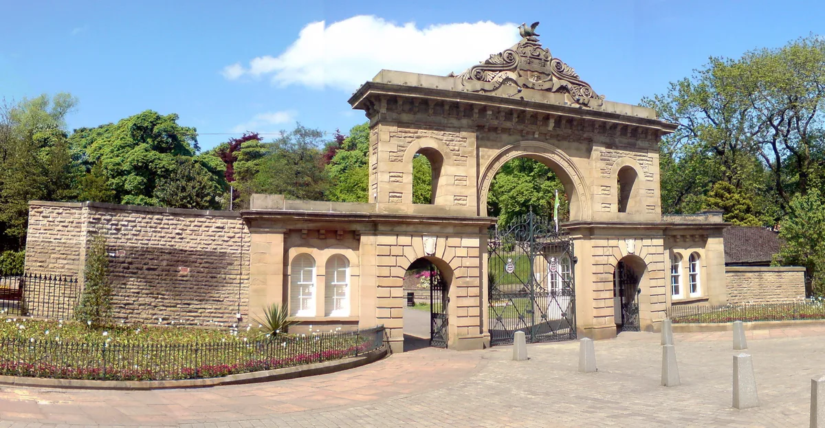
Corporation Park
Corporation Park — park in Blackburn, Lancashire, England, UK.
 📷 4
📷 4Public art & sculpture · North West England
Blackburn War Memorial
Blackburn War Memorial in England North West, United Kingdom.
 📷 5
📷 5Historic churches · North West England
Makki Masjid
Makki Masjid — a church in england-north-west, United Kingdom.
 📷 5
📷 5Historic churches · North West England
Masjid Tauheedul Islam
Masjid Tauheedul Islam — a church in england-north-west, United Kingdom.
 📷 5
📷 5Historic churches · North West England
Masjid Al-Hidayah
Masjid Al-Hidayah — a church in england-north-west, United Kingdom.
More viewpoints in this region
 📷 3
📷 3Viewpoints · North West England
Bad Step
Bad Step is a viewpoint in the United Kingdom.
 📷 3
📷 3Viewpoints · North West England
Baxenghyll Gorge
Baxenghyll Gorge is a viewpoint in the United Kingdom.
 📷 3
📷 3Viewpoints · North West England
Belmont Lodge
Belmont Lodge is a viewpoint in the United Kingdom.
 📷 3
📷 3Viewpoints · North West England
Biskey Howe
Biskey Howe is a viewpoint in the United Kingdom.
Frequently asked questions
- Where is The Tank Toposcope?
- The Tank Toposcope is in North-West England, United Kingdom (postcode BB1 8DQ), in the parish of Blackburn with Darwen, unparished area.
- Is The Tank Toposcope free to visit?
- Yes, The Tank Toposcope is free to enter.
- How do I get to The Tank Toposcope?
- The nearest railway station is Blackburn, about 1.8 km away. Drivers can navigate to postcode BB1 8DQ.