Viewpoints · West Midlands
Lymm Dam
Lymm Dam is a viewpoint in the United Kingdom.

David Dixon — CC BY-SA 2.0 via Wikimedia Commons licence
Plan your visit
- Typical visit
- 20 min–45 min
- Best time of year
- Clear days year-round
- Nearest railway station
- Birchwood · 4.8 km
- Free entry
- Dog-friendly
About
Lymm Dam is a named viewpoint in the United Kingdom. Coordinates: 53.3784°, -2.4802°. This entry is part of The Great Britain Guide, a free, ad-free, open-data tourist directory.
Photo gallery
From the Wikipedia article
Lymm Dam is the name of a dam and lake in Lymm, Cheshire, England, an inset village in the greenbelt around Warrington. It was created in 1824 by a dam built during the construction of what is now the A56 road, when local inhabitants objected to initial plans for a route through the village centre. It may have been used to supply power to local industry, and the surrounding area. Warrington Borough Council began managing the Lymm Dam and its park in the early 1980s. At that time there were considerable erosion problems and the Ranger Service began to upgrade the existing path network and take over the park maintenance. It is now a popular visitor attraction, which has won several Green Flag Awards for its improvements to the infrastructure and ecology of the dam. The lake is fed from the south by three streams, the Bradley Brook, Mag Brook and Kaylane Brook, and its outlet runs under the A56 and down a valley known as the Dingle to the Lower Dam in Lymm village centre. The dam at the foot of the lake is Grade II listed, as is Crosfield Bridge at the head of the lake.
Excerpt from Wikipedia under CC BY-SA 4.0. See the source article linked in Sources below.
- Coordinates
- 53.3784, -2.4802
- District
- Warrington
- Parish
- Lymm
- Postcode
- WA13 0QF
- Parliamentary constituency
- Tatton
- Nearest railway station
- Birchwood — 4.8 km
- Official site
- www.lymmhic.co.uk
Sources
- osm: n4214681290 (ODbL)
- wikipedia: Lymm Dam (CC BY-SA 4.0)
Other places nearby
Loading nearby places…
Nearby
 📷 3
📷 3Historic bridges · West Midlands
Bridge over outfall and spillway, Lymm Dam
Bridge over outfall and spillway, Lymm Dam — Grade II listed building-listed bridge in england-west-midlands, United Kingdom.
📷 3Memorials & monuments · West Midlands
Lymm War Memorial
Lymm War Memorial — Grade II listed building-listed memorial in england-west-midlands, United Kingdom.
 📷 3
📷 3Historic churches · West Midlands
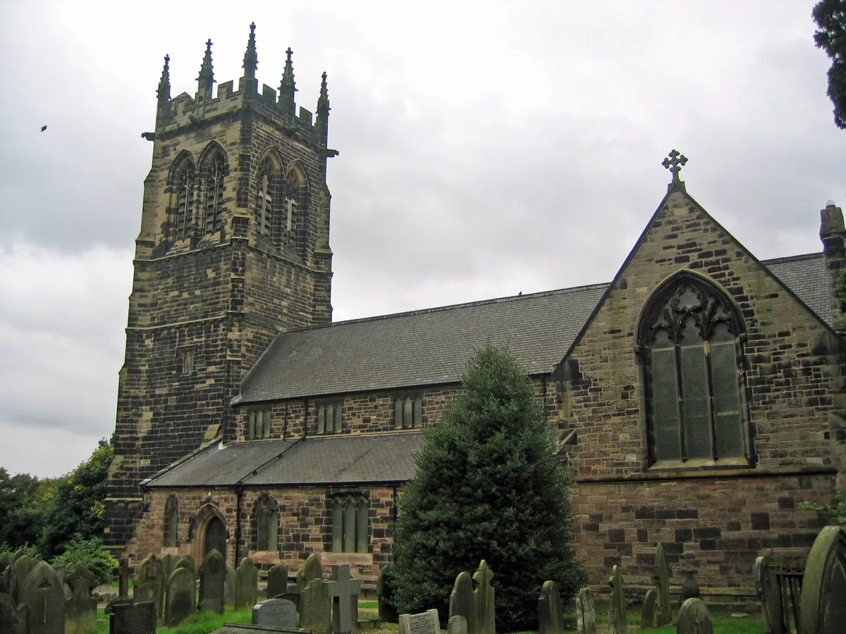
St Mary's Church, Lymm
St Mary's Church, Lymm — grade II listed church in Lymm, Cheshire, England, UK.
 📷 3
📷 3Museums · West Midlands
Lymm Heritage Centre
Lymm Heritage Centre — a museum in england-west-midlands, United Kingdom.
 📷 3
📷 3Memorials & monuments · West Midlands
Lymm Cross
Lymm Cross is a memorial in the United Kingdom.
 📷 3
📷 3Historic houses · West Midlands
Slitting Mill
Slitting Mill — a historic house in england-west-midlands, United Kingdom.
More viewpoints in this region
 📷 4
📷 4Viewpoints · West Midlands
Ambion Hill
Ambion Hill is a viewpoint in the United Kingdom.
 📷 3
📷 3Viewpoints · West Midlands
Apedale Winding Wheel
Apedale Winding Wheel is a viewpoint in the United Kingdom.
 📷 3
📷 3Viewpoints · West Midlands
Baggeridge Toposcope
Baggeridge Toposcope is a viewpoint in the United Kingdom.
 📷 3
📷 3Viewpoints · West Midlands
Barrett Bridge
Barrett Bridge is a viewpoint in the United Kingdom.
Frequently asked questions
- Where is Lymm Dam?
- Lymm Dam is in the West Midlands, United Kingdom (postcode WA13 0QF), in the parish of Lymm.
- Is Lymm Dam free to visit?
- Yes, Lymm Dam is free to enter.
- How do I get to Lymm Dam?
- The nearest railway station is Birchwood, about 4.8 km away. Drivers can navigate to postcode WA13 0QF.