Mountains & hills · Scottish Highlands
The Sow of Atholl
Also known as: Meall an Dobharchain
The Sow of Atholl — Named summit at 803 m.

Wikimedia Commons contributors — see linked file page for photographer and licence licence
Plan your visit
- Typical visit
- 3 h–8 h
- Best time of year
- Late spring – early autumn (May–Oct)
- Free entry
- Dog-friendly
About
The Sow of Atholl is a named summit in the United Kingdom. Also known as: Meall an Dobharchain. Wikidata describes it as: "Named summit at 803 m.". Coordinates: 56.8381°, -4.2551°.
Photo gallery
From the Wikipedia article
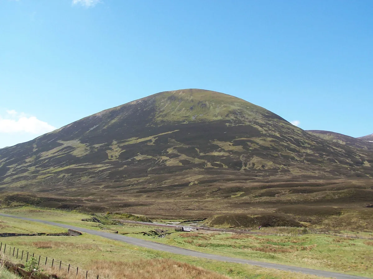
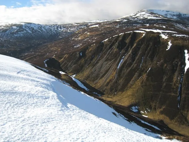
The Sow of Atholl (Scottish Gaelic: Meall an Dobharchain) is a Scottish hill which is situated 27 kilometres west-northwest of the town of Blair Atholl in Perth and Kinross council area. It stands on the western side of the Pass of Drumochter in a group of hills which lie around Coire Dhomhain.
Excerpt from Wikipedia under CC BY-SA 4.0. See the source article linked in Sources below.
Background
Description
The Sow is a steep conical hill which reaches a height of 803 metres (2634 feet); it qualifies as a Corbett and a Marilyn. It throws down its least precipitous slopes to the SE in a broad ridge to Dalnaspidal Lodge from where the hill is often climbed. It stands immediately next to the A9 and the Highland Main Line as they pass the highest point of the Drumochter Pass and the hill is well seen from the road and railway. The hill's strange Anglicised name is believed to be a "more recent and fanciful name", a response to match the hill known as the Boar of Badenoch which lies 2.5 km to the north. Its more ancient and correct name is Meall an Dobharchain which translates from the Scottish…
Sourced from Wikipedia under CC BY-SA 4.0.
- Coordinates
- 56.8381, -4.2551
- Address
- Atholl, Perth and Kinross, Scotland
Sources
- osm: n611774822 (ODbL)
- wikipedia: The Sow of Atholl (CC BY-SA 4.0)
- commons: The Sow of Atholl from the A9 road.jpg (CC BY-SA 4.0)
Other places nearby
Loading nearby places…
Nearby
 📷 3
📷 3Natural landmarks · Scottish Highlands
The Sow of Atholl
The Sow of Atholl — mountain in Perth and Kinross, Scotland, UK.
 📷 4
📷 4Mountains & hills · Scottish Highlands
Dalnaspidal railway station
Dalnaspidal railway station in Scotland Islands, United Kingdom.
 📷 2
📷 2Mountains & hills · Scottish Highlands
An Torc
An Torc — a mountain in scotland-highlands, United Kingdom.
 📷 4
📷 4Distilleries · Scottish Highlands
River Truim
River Truim in Scotland Islands, United Kingdom.
📷 4Mountains & hills · Scottish Highlands
Pass of Drumochter
Pass of Drumochter in Scotland Islands, United Kingdom.
 📷 3
📷 3Mountains & hills · Scottish Highlands
Sgairneach Mhòr
Sgairneach Mhòr — Named summit at 991 m.
More mountains in this region
 📷 3
📷 3Mountains & hills · Scottish Highlands
A' Bhuidheanach Bheag
A' Bhuidheanach Bheag — Named summit at 936 m.
 📷 3
📷 3Mountains & hills · Scottish Highlands
A' Chailleach
A' Chailleach — Named summit at 997 m.
 📷 3
📷 3Mountains & hills · Scottish Highlands
A' Chailleach
A' Chailleach — Named summit at 930 m.
 📷 3
📷 3Mountains & hills · Scottish Highlands
A' Chaoirnich
A' Chaoirnich — Named summit at 875 m.
Frequently asked questions
- Where is The Sow of Atholl?
- The Sow of Atholl is in Scottish Highlands, in the United Kingdom — coordinates 56.8381°, -4.2551°.
- Is The Sow of Atholl free to visit?
- Yes — admission to The Sow of Atholl is free.