Mountains & hills · West Midlands
The Ercall
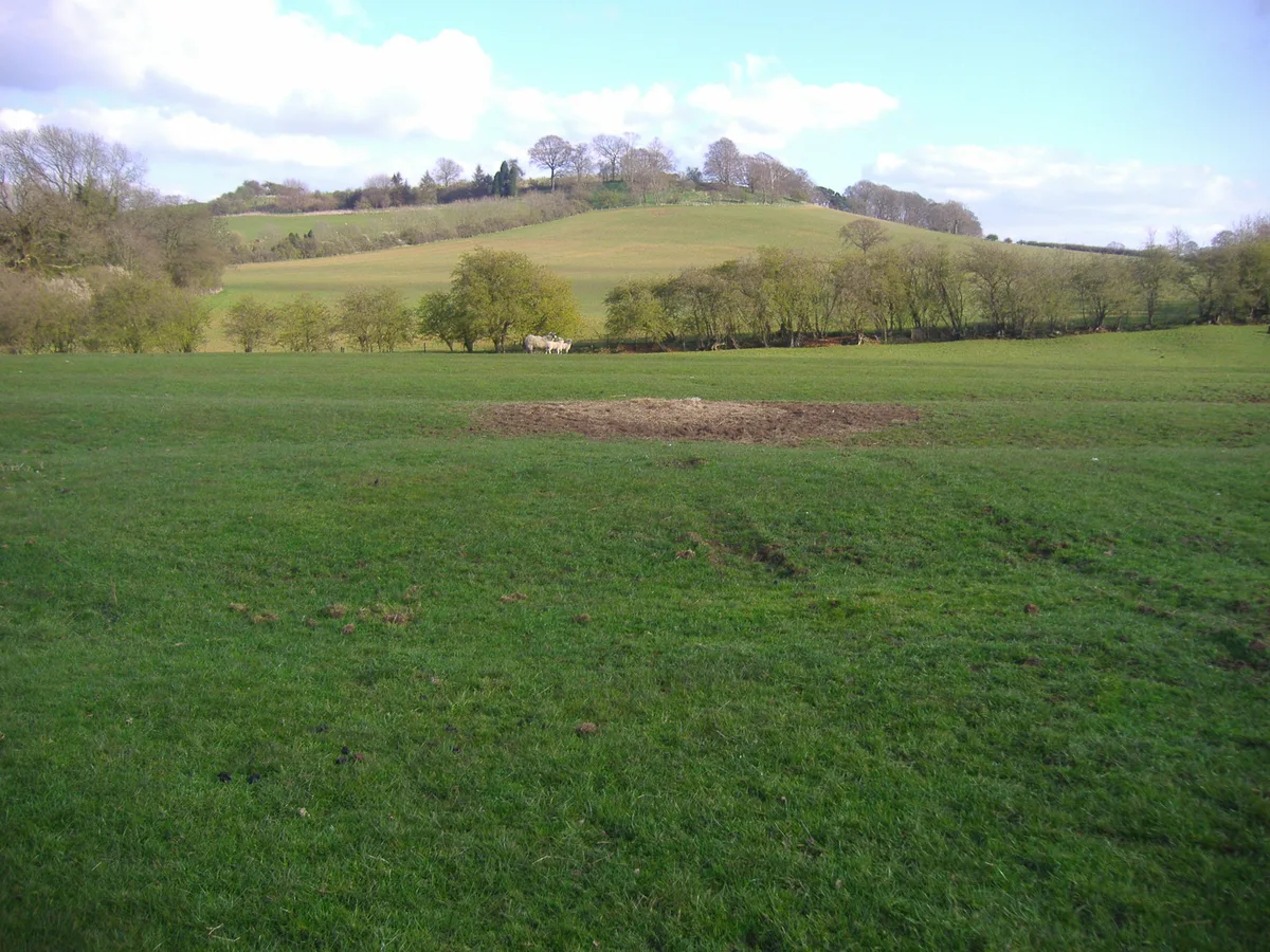
The Ercall — Named summit at 265 m.

Wikimedia Commons contributors — see linked file page for photographer and licence licence
Plan your visit
- Typical visit
- 3 h–8 h
- Best time of year
- Late spring – early autumn (May–Oct)
- Nearest railway station
- Wellington · 2.1 km
- Free entry
- Dog-friendly
About
The Ercall is a named summit in the United Kingdom. Wikidata describes it as: "Named summit at 265 m.". Coordinates: 52.6836°, -2.5276°.
Photo gallery
Protected designations
- Site of Special Scientific Interest: The Wrekin & The Ercall SSSI
- Area of Outstanding Natural Beauty: Shropshire Hills
Designations sourced from Natural England open data under OGL v3.
From the Wikipedia article
The Ercall is a small hill in Shropshire, England, between The Wrekin and Wellington. It is an internationally important geological site, part of The Wrekin and The Ercall Site of Special Scientific Interest (SSSI). The hill is managed by Shropshire Wildlife Trust and includes 540 million year old ripple beds and ancient pre-Cambrian lava flows in exposed quarries. Quartzite from the neighbouring Wrekin is also visible. The Ercall bears the marks of extensive quarrying, although the quarries are now disused, safe and open to the public. When the M54 motorway was constructed in 1974, the road was built through the northern end of the hill.
Excerpt from Wikipedia under CC BY-SA 4.0. See the source article linked in Sources below.
Background
Visiting
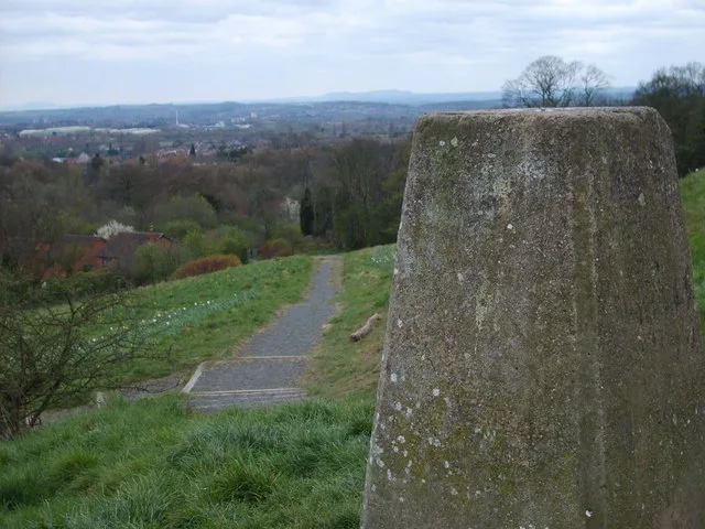
The hill is accessed in much the same way as The Wrekin nearby; exit the M54 motorway at J7 (last exit) or the last junction of the A5 from Shrewsbury before it becomes the M54. From there The Wrekin is signposted; follow this road until you reach The Wrekin, then follow the sign for the Buckatree Hotel. There is a small car park across the road from this pub/hotel, and the entrance is clearly visible.
Sourced from Wikipedia under CC BY-SA 4.0.
- Coordinates
- 52.6836, -2.5276
- District
- Telford and Wrekin
- Parish
- Wrockwardine
- Postcode
- TF6 5AL
- Parliamentary constituency
- The Wrekin
- Nearest railway station
- Wellington — 2.1 km
Sources
- osm: n356741658 (ODbL)
- wikipedia: The Ercall (CC BY-SA 4.0)
- commons: ErcallHill.jpg (CC BY-SA 4.0)
Other places nearby
Loading nearby places…
Nearby
 📷 5
📷 5Forests & woodlands · West Midlands
Ercall Wood Technology College
Ercall Wood Technology College — a school heritage in england-west-midlands, United Kingdom.
 📷 5
📷 5Cemeteries · West Midlands
Wellington Cemetery
Wellington Cemetery is a cemetery in the United Kingdom.
 📷 3
📷 3Gardens · West Midlands
Sunnycroft Gardens
Sunnycroft Gardens — a garden in england-west-midlands, United Kingdom.
📷 3Museums · West Midlands
Sunnycroft
Sunnycroft — a museum in england-west-midlands, United Kingdom.
 📷 3
📷 3Archaeological sites · West Midlands
Hell Gate
Hell Gate — a archaeological in england-west-midlands, United Kingdom.
 📷 5
📷 5Historic churches · West Midlands
Telford Central Mosque
Telford Central Mosque — a church in england-west-midlands, United Kingdom.
More mountains in this region
 📷 5
📷 5Mountains & hills · West Midlands
Arbury Hill
Arbury Hill — Named summit at 224.3 m.
Mountains & hills · West Midlands
Barr Beacon
Barr Beacon — Named summit at 227 m.
 📷 3
📷 3Mountains & hills · West Midlands
Barrow Hill
Barrow Hill — Named summit at 179 m.
Mountains & hills · West Midlands
Beacon Hill
Beacon Hill — Named summit at 237 m.
Frequently asked questions
- Where is The Ercall?
- The Ercall is in the West Midlands, United Kingdom (postcode TF6 5AL), in the parish of Wrockwardine.
- Is The Ercall a protected site?
- Yes — The Ercall is part of the The Wrekin & The Ercall SSSI Site of Special Scientific Interest and the Shropshire Hills National Landscape (AONB).
- Is The Ercall free to visit?
- Yes, The Ercall is free to enter.
- How do I get to The Ercall?
- The nearest railway station is Wellington, about 2.1 km away. Drivers can navigate to postcode TF6 5AL.