Gardens · North West England
Terraced Gardens, Rivington
Terraced Gardens, Rivington — Landscaped woodland in Lancashire, England.

Wikimedia Commons licence
Plan your visit
- Typical visit
- 1 h–2.5 h
- Best time of year
- Spring & summer (Apr–Sep)
- Nearest railway station
- Blackrod · 3.5 km
- Dog-friendly
About
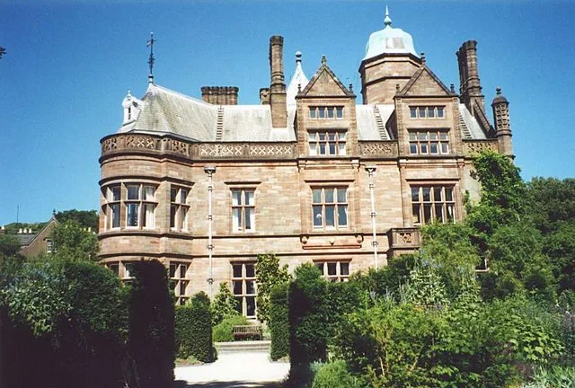
Terraced Gardens, Rivington is a public garden in the United Kingdom. Owned by United Utilities. Wikidata describes it as: "Landscaped woodland in Lancashire, England". Coordinates: 53.6197°, -2.5481°.
Photo gallery
Protected designations
- Site of Special Scientific Interest: West Pennine Moors SSSI
Designations sourced from Natural England open data under OGL v3.
From the Wikipedia article
Terraced Gardens of Rivington (Leverhulmes Former Gardens) is a landscaped woodland on the hillside of Rivington Pike, in Rivington Parish in the Chorley Borough of Lancashire, England, originally designed as a Garden by T.H. Mawson and built as curtilage to a home of the soap magnate Viscount Leverhulme; as such, the area is not part of Lever Park. It has a Green Flag Award. The gardens contains and abuts the SSSI of the West Pennine Moors. Today the former gardens are Grade II listed and contain eleven Grade II structures. The original design had three elements — the upper part being in the romanesque architectural style, the lower section, known as the Ravine, was a woodland with a man-made stream, and a Japanese-style garden, with a man-made pond constructed of Pulmonite which remains today. The gardens are leased to Rivington Heritage Trust by United Utilities and are undergoing restoration and preservation.
Excerpt from Wikipedia under CC BY-SA 4.0. See the source article linked in Sources below.
Background
Description
The original gardens were created to serve a home called the Bungalow (demolished in 1948) belonging to Leverhulme, a founder of Lever Brothers, today known as Unilever. The site has surviving stone structures that formed part of the Italian-style gardens designed by Thomas Mawson between 1905 and 1922. Inspired by Villa d’Este near Rome, its design features in his book 'The Art and Craft of Garden Making, published in 1912. There were four lodge houses acting as gatehouses of the grounds. Three were small prefabricated cottage-style properties, the fourth was Stone House Lodge, which had a design with an archway incorporated and build over the entrance. Roynton Cottage was built on the…
Visiting
Although the Terraced Gardens are not part of Lever Park a large area has right to roam and there is a public footpath, although officially never closed the trust charges admission during events and part is used for private hire, at which time public access is blocked. The lower section of the grounds, the ravine is usually freely accessible for members of the public. After the demolition in 1948 for half a century, the public could roam the whole site at will. Rivington former Japanese and Kitchen Gardens within the Bungalow Grounds are now part of an extensive area of open access land recorded at Lancashire County Council and has a right to roam protected by the statutory powers in the…
Sourced from Wikipedia under CC BY-SA 4.0.
- Coordinates
- 53.6197, -2.5481
- County
- Lancashire
- District
- Chorley
- Parish
- Rivington
- Postcode
- BL6 7SA
- Parliamentary constituency
- Chorley
- Nearest railway station
- Blackrod — 3.5 km
- Official site
- historicengland.org.uk
Sources
- wikidata: Q113961968 (CC0)
- wikipedia: Terraced Gardens, Rivington (CC BY-SA 4.0)
Other places nearby
Loading nearby places…
Nearby
 📷 3
📷 3Viewpoints · North West England
The Ravine
The Ravine is a viewpoint in the United Kingdom.
 📷 3
📷 3Gardens · North West England
Rivington Gardens
Rivington Gardens — a garden in england-north-west, United Kingdom.
 📷 3
📷 3Gardens · North West England
Terraced Gardens
Terraced Gardens — a garden in england-north-west, United Kingdom.
 📷 4
📷 4Viewpoints · North West England
Great Lawn
Great Lawn is a viewpoint in the United Kingdom.
 📷 3
📷 3Viewpoints · North West England
Belmont Lodge
Belmont Lodge is a viewpoint in the United Kingdom.
 📷 3
📷 3Memorials & monuments · North West England
Two Archways And Associated Stone Staircases And Retaining Walls In Rivington Gardens At Sd 6390 1422
Two Archways And Associated Stone Staircases And Retaining Walls In Rivington Gardens At Sd 6390 1422 — Grade II listed building-listed memorial in england-north-west, United Kingdom.
More gardens in this region
 📷 5
📷 5Gardens · North West England
Holker Hall
Holker Hall — Country house in Cumbria, England, UK.
 📷 5
📷 5Gardens · North West England
Levens Hall
Levens Hall — Grade I listed historic house museum in South Lakeland, United Kingdom.
 📷 3
📷 3Gardens · North West England
Salisbury Woodland Gardens
Salisbury Woodland Gardens is a garden in the United Kingdom.
 📷 3
📷 3Gardens · North West England
The Mount
The Mount — garden in Fleetwood, Lancashire, England, UK.
Frequently asked questions
- Where is Terraced Gardens, Rivington?
- Terraced Gardens, Rivington is in Lancashire, North-West England, United Kingdom (postcode BL6 7SA), in the parish of Rivington.
- Who owns Terraced Gardens, Rivington?
- Terraced Gardens, Rivington is owned by United Utilities.
- Is Terraced Gardens, Rivington a protected site?
- Yes — Terraced Gardens, Rivington is part of the West Pennine Moors SSSI Site of Special Scientific Interest.
- How do I get to Terraced Gardens, Rivington?
- The nearest railway station is Blackrod, about 3.5 km away. Drivers can navigate to postcode BL6 7SA.