Towns & cities · South Wales
Symonds Yat
Symonds Yat — village on the Gloucestershire/Herefordshire border in United Kingdom.

Wikimedia Commons contributors — see linked file page for photographer and licence licence
Plan your visit
- Typical visit
- 3 h–6 h
- Nearest railway station
- Rookwood · 7.3 km
- Free entry
- Family-friendly
- Dog-friendly
About
Symonds Yat is a town, city, village or settlement in the United Kingdom. Address: HR9. Wikidata describes it as: "village on the Gloucestershire/Herefordshire border in United Kingdom". Coordinates: 51.8480°, -2.6430°.
Photo gallery
Protected designations
- Site of Special Scientific Interest: Upper Wye Gorge SSSI
- Site of Special Scientific Interest: River Wye SSSI
- Area of Outstanding Natural Beauty: Wye Valley
Designations sourced from Natural England open data under OGL v3.
From the Wikipedia article
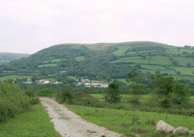
Symonds Yat is a village in the Wye Valley in the English counties of Herefordshire and Gloucestershire, and a popular tourist destination. It straddles the River Wye, and is within a few miles of Monmouthshire and the Welsh border. The two settlements either side of the river are known as Symonds Yat West and Symonds Yat East and are linked by a footbridge and passenger ferries. Nearby is Symonds Yat Rock, a scenic hilltop viewpoint. The Seven Sisters Rocks are an outcrop of rocks forming cliffs above the Wye at Symonds Yat.
Excerpt from Wikipedia under CC BY-SA 4.0. See the source article linked in Sources below.
Background
History
Bones from hyenas, sabre-toothed cats and a mammoth have been found in and around the caves of the Wye valley. Human habitation can be traced back to 12,000 years ago with findings of their tools and clothes. In the Iron Age the forts on the Great Doward and Yat Rock provided secure, defensible settlements for the local residents. During Roman times these forts became focal points in the region and the importance of the iron here and in the Forest of Dean made this a valuable prize for the conquerors. The 8th-century earthwork Offa's Dyke runs close to Symonds Yat. The Yat Gorge was mined for iron ore and remains of a smelting works are located down stream of the Symonds Yat Rapids. The…
Sourced from Wikipedia under CC BY-SA 4.0.
- Coordinates
- 51.8480, -2.6430
- District
- Herefordshire, County of
- Parish
- Whitchurch
- Postcode
- HR9
- Parliamentary constituency
- Hereford and South Herefordshire
- Nearest railway station
- Rookwood — 7.3 km
Sources
- wikidata: Q990105 (CC0)
- wikipedia: Symonds Yat (CC BY-SA 4.0)
- commons: Symonds Yat West.JPG (CC BY-SA 4.0)
Other places nearby
Loading nearby places…
Nearby
Hostels · South Wales
The Paddocks
The Paddocks — a hostel in wales south.
Caravan parks · South Wales
Sterrett’s Caravan and Camping Park
Sterrett’s Caravan and Camping Park — a caravan park in wales south.
 📷 3
📷 3Historic houses · South Wales
Huntsham Court And Adjoining Gate Piers
Huntsham Court And Adjoining Gate Piers — Grade II* listed house and gate in the parish of Goodrich, Herefordshire, England, UK.
Campsites · South Wales
River Wye Camping & Caravan Park
River Wye Camping & Caravan Park — a campsite in wales south.
 📷 3
📷 3Zoos & aquariums · South Wales
Wye Valley Butterfly Zoo
Wye Valley Butterfly Zoo — a zoo aquarium in wales-south, United Kingdom.
B&Bs · South Wales
The Saracens Head
The Saracens Head — a bed-and-breakfast in wales south.
More towns in this region
 📷 4
📷 4Towns & cities · South Wales
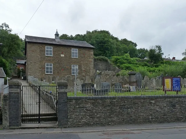
Argoed
Argoed — village and community in Caerphilly County Borough, Wales.
 Flagship📷 3
Towns & cities · South Wales
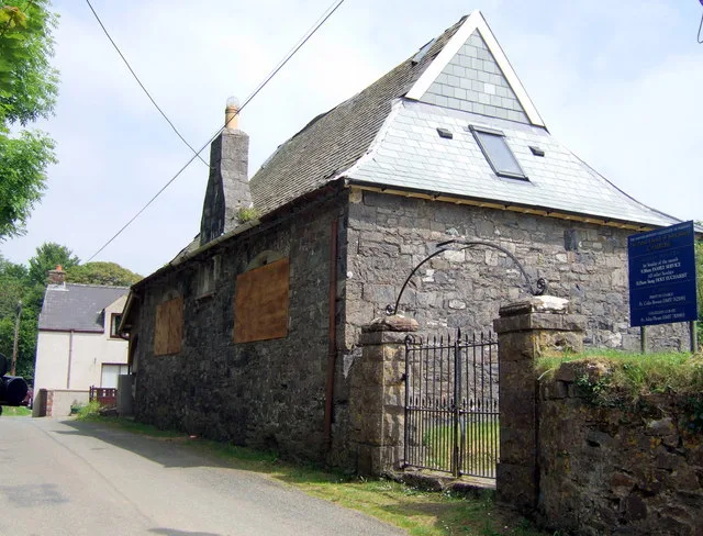
Betws
Betws — village and community in Carmarthenshire, Wales.
 Flagship📷 5
Towns & cities · South Wales
Caerleon
Caerleon — village and community in Newport, Wales, UK.
 Flagship📷 3
Towns & cities · South Wales
Camrose
Camrose — village and community in Pembrokeshire, Wales, UK.
Frequently asked questions
- Where is Symonds Yat?
- Symonds Yat is in South Wales, United Kingdom (postcode HR9), in the parish of Whitchurch.
- Is Symonds Yat a protected site?
- Yes — Symonds Yat is part of the Upper Wye Gorge SSSI Site of Special Scientific Interest and the River Wye SSSI Site of Special Scientific Interest.
- Is Symonds Yat free to visit?
- Yes, Symonds Yat is free to enter.
- How do I get to Symonds Yat?
- The nearest railway station is Rookwood, about 7.3 km away. Drivers can navigate to postcode HR9.