Mountains & hills · North West England
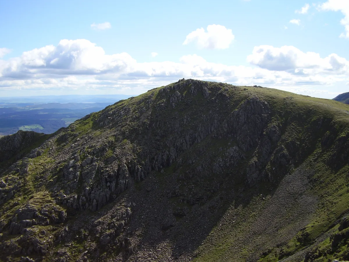
Swirl How
Swirl How — Named summit at 802.4 m.

Wikimedia Commons contributors — see linked file page for photographer and licence licence
Plan your visit
- Typical visit
- 3 h–8 h
- Best time of year
- Late spring – early autumn (May–Oct)
- Nearest railway station
- Dalegarth · 9.9 km
- Free entry
- Dog-friendly
About
Swirl How is a named summit in the United Kingdom. Wikidata describes it as: "Named summit at 802.4 m.". Coordinates: 54.3952°, -3.1215°.
Photo gallery
From the Wikipedia article
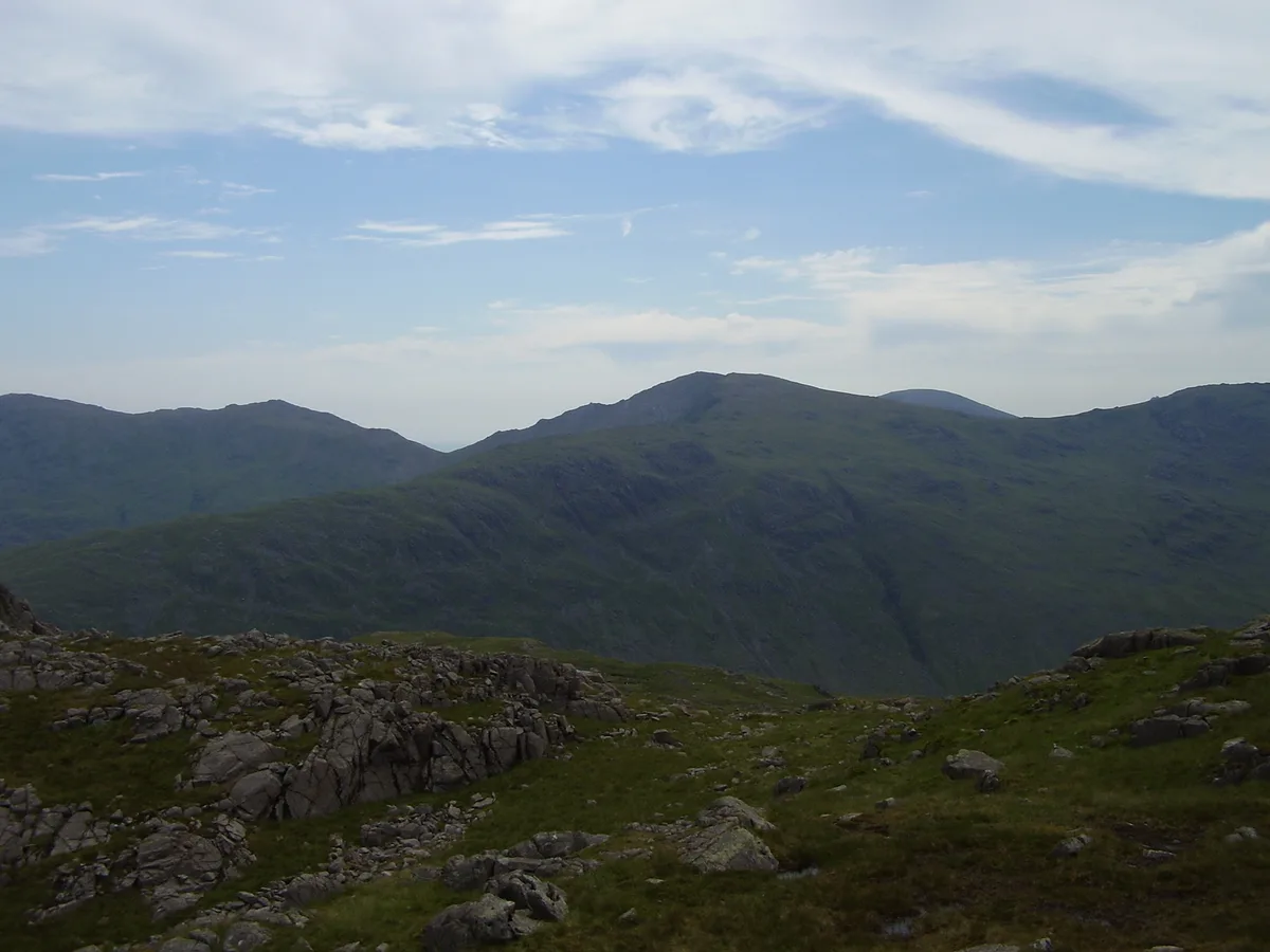
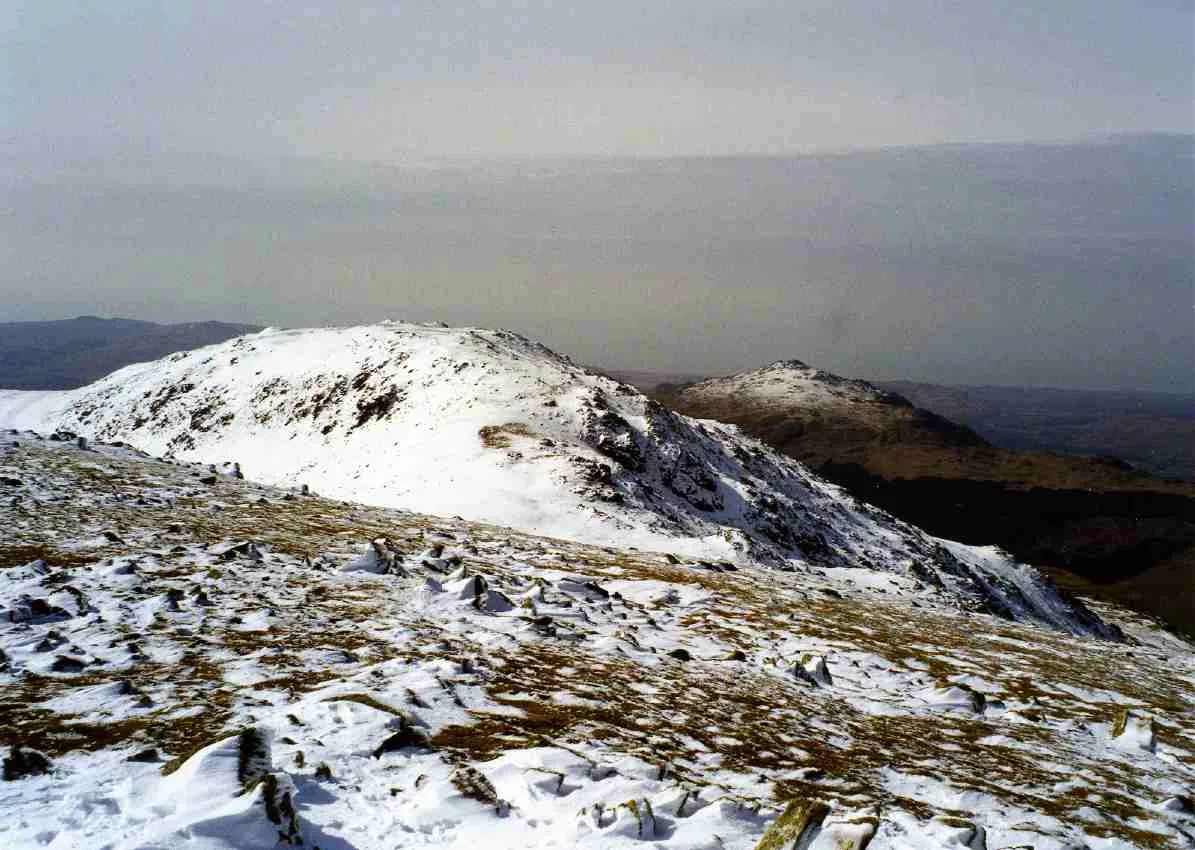
Swirl How is a fell in the English Lake District. It stands between Coniston and the Duddon Valley in the southern part of the District. It rivals the Old Man of Coniston as the highest point within the traditional County Palatine of Lancashire (it has been administered since 1974 as part of Cumbria for local government purposes). The Coniston (or Furness) Fells form the watershed between Coniston Water and the Duddon valley to the west. The range begins at Wrynose Pass and runs south for around 10 miles (16 km) before petering out at Broughton in Furness on the Duddon Estuary. Alfred Wainwright in his influential Pictorial Guide to the Lakeland Fells took only the northern half of the range as Lakeland proper, consigning the lower fells to the south to a supplementary work The Outlying Fells of Lakeland. Swirl How being a significant high point of the Coniston Fells therefore qualifies as one of the 214 Wainwrights. Later guidebook writers have chosen to include the whole range in their main volumes.
Excerpt from Wikipedia under CC BY-SA 4.0. See the source article linked in Sources below.
- Coordinates
- 54.3952, -3.1215
- Address
- Cumbria, England (traditionally Lancashire)
- Nearest railway station
- Dalegarth — 9.9 km
Sources
- osm: n29876665 (ODbL)
- wikipedia: Swirl How (CC BY-SA 4.0)
- commons: Swirl how.jpg (CC BY-SA 4.0)
Other places nearby
Loading nearby places…
Nearby
 📷 3
📷 3Natural landmarks · North West England
Swirl How
Swirl How — mountain in Cumbria, United Kingdom.
 📷 3
📷 3Memorials & monuments · North West England
Handley Page Halifax LL505 Crash Site Memorial
Handley Page Halifax LL505 Crash Site Memorial — a memorial in england-north-west, United Kingdom.
 📷 3
📷 3Natural landmarks · North West England
Great Carrs
Great Carrs — mountain in Cumbria, United Kingdom.
 📷 3
📷 3Mountains & hills · North West England
Great Carrs
Great Carrs — Named summit at 785 m.
 📷 3
📷 3Mountains & hills · North West England
Grey Friar
Grey Friar — Named summit at 773 m.
 📷 3
📷 3Natural landmarks · North West England
Grey Friar
Grey Friar — mountain in United Kingdom.
More mountains in this region
 📷 3
📷 3Mountains & hills · North West England
Allen Crags
Allen Crags — Named summit at 785 m.
 📷 3
📷 3Mountains & hills · North West England
Alum Pot
Alum Pot — Open shaft pothole in North Yorkshire.
 📷 3
📷 3Mountains & hills · North West England
Arnside Knott
Arnside Knott — Named summit at 159 m.
 📷 3
📷 3Mountains & hills · North West England
Aye Gill Pike
Aye Gill Pike — Named summit at 556.3 m.
Frequently asked questions
- Where is Swirl How?
- Swirl How is in North West England, in the United Kingdom — coordinates 54.3952°, -3.1215°. The nearest railway station is Dalegarth, around 9.9 km away.
- Is Swirl How free to visit?
- Yes — admission to Swirl How is free.