Natural landmarks · North West England
Grey Friar
Grey Friar — mountain in United Kingdom.

Wikimedia Commons contributors — see linked file page for photographer and licence licence
Plan your visit
- Typical visit
- 1 h–2 h
- Nearest railway station
- Dalegarth · 8.6 km
- Free entry
- Dog-friendly
About
Grey Friar is a named natural landmark in the United Kingdom. Wikidata describes it as: "mountain in United Kingdom". Coordinates: 54.3928°, -3.1427°.
Photo gallery
From the Wikipedia article
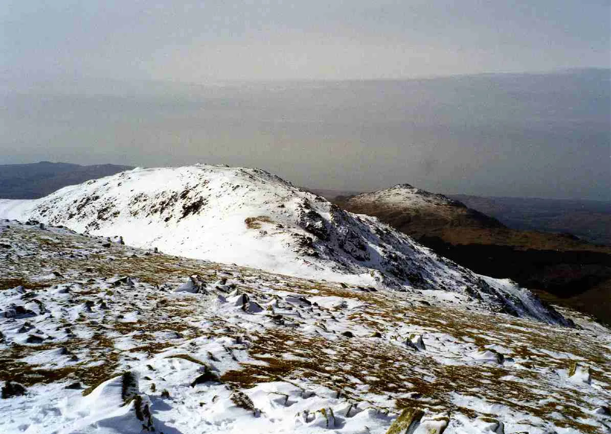
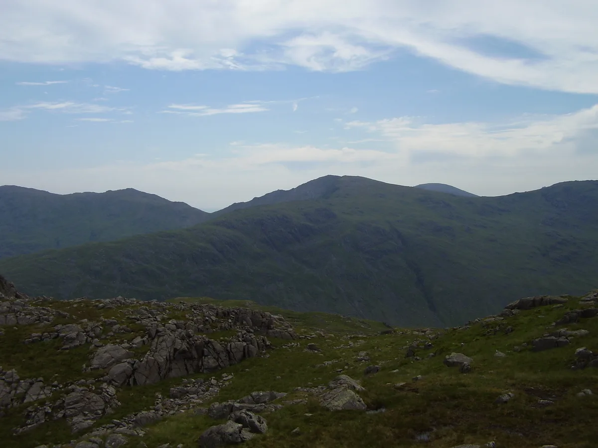
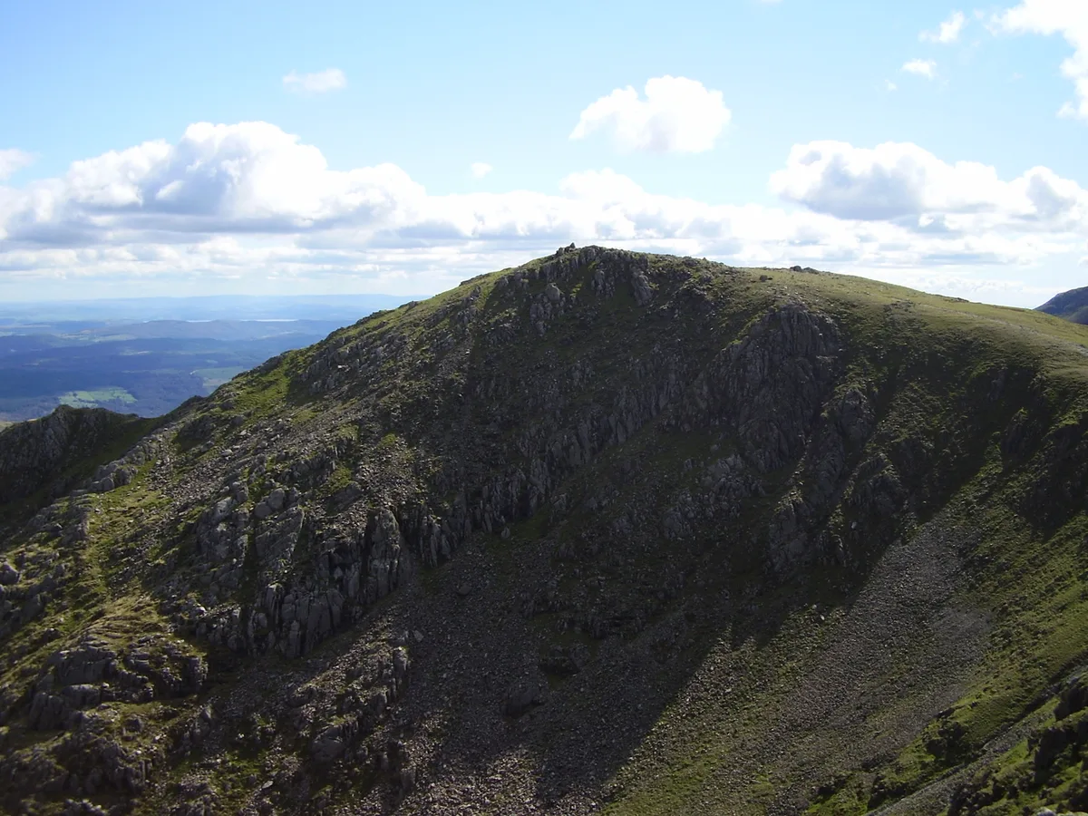
Grey Friar is a fell in the English Lake District, it is one of the Coniston Fells and is situated 13 kilometres (8 miles) west-south-west of Ambleside. It reaches a height of 770 metres (2,526 feet) and stands to the north west of the other Coniston Fells, a little off the beaten track and tends to be the least visited of the group. It is quite a large fell and forms the eastern wall of the Duddon Valley for several kilometres, in fact all drainage from Grey Friar goes to the Duddon Valley and not to Coniston Water.
Excerpt from Wikipedia under CC BY-SA 4.0. See the source article linked in Sources below.
- Coordinates
- 54.3928, -3.1427
- District
- Westmorland and Furness
- Parish
- Dunnerdale-with-Seathwaite
- Postcode
- LA20 6EG
- Parliamentary constituency
- Barrow and Furness
- Nearest railway station
- Dalegarth — 8.6 km
Sources
- wikidata: Q5608158 (CC0)
- wikipedia: Grey Friar (CC BY-SA 4.0)
- commons: Grey Friar and harter Fell from Great Carrs.jpg (CC BY-SA 4.0)
Other places nearby
Loading nearby places…
Nearby
 📷 3
📷 3Mountains & hills · North West England
Grey Friar
Grey Friar — Named summit at 773 m.
 📷 3
📷 3Memorials & monuments · North West England
Handley Page Halifax LL505 Crash Site Memorial
Handley Page Halifax LL505 Crash Site Memorial — a memorial in england-north-west, United Kingdom.
 📷 3
📷 3Natural landmarks · North West England
Great Carrs
Great Carrs — mountain in Cumbria, United Kingdom.
 📷 3
📷 3Mountains & hills · North West England
Great Carrs
Great Carrs — Named summit at 785 m.
 📷 3
📷 3Mountains & hills · North West England
Swirl How
Swirl How — Named summit at 802.4 m.
 📷 3
📷 3Natural landmarks · North West England
Swirl How
Swirl How — mountain in Cumbria, United Kingdom.
More natural landmarks in this region
 ★ Iconic📷 4
Natural landmarks · North West England
Coniston Water
Lake District lake — Swallows and Amazons setting and Donald Campbell water-speed history.
 📷 3
📷 3Natural landmarks · North West England
Elter Water
Elter Water — lake in the United Kingdom.
 📷 3
📷 3Natural landmarks · North West England
Esthwaite Water
Esthwaite Water — lake in the United Kingdom.
 Flagship📷 5
Natural landmarks · North West England
Semerwater
Semerwater — lake in North Yorkshire, England, UK.
Frequently asked questions
- Where is Grey Friar?
- Grey Friar is in North-West England, United Kingdom (postcode LA20 6EG), in the parish of Dunnerdale-with-Seathwaite.
- Is Grey Friar free to visit?
- Yes, Grey Friar is free to enter.
- How do I get to Grey Friar?
- Drivers can navigate to postcode LA20 6EG. It sits within the Barrow and Furness parliamentary constituency.