Towns & cities · East of England
Stutton
Stutton — village and civil parish in Suffolk, United Kingdom.

Wikimedia Commons contributors — see linked file page for photographer and licence licence
Plan your visit
- Typical visit
- 3 h–6 h
- Nearest railway station
- Mistley · 4.5 km
- Free entry
- Family-friendly
- Dog-friendly
About
Stutton is a town, city, village or settlement in the United Kingdom. Recent population estimates put it at around 786 people. Wikidata describes it as: "village and civil parish in Suffolk, United Kingdom". Coordinates: 51.9710°, 1.1290°.
Photo gallery
Protected designations
- Area of Outstanding Natural Beauty: Suffolk Coast & Heaths
Designations sourced from Natural England open data under OGL v3.
From the Wikipedia article
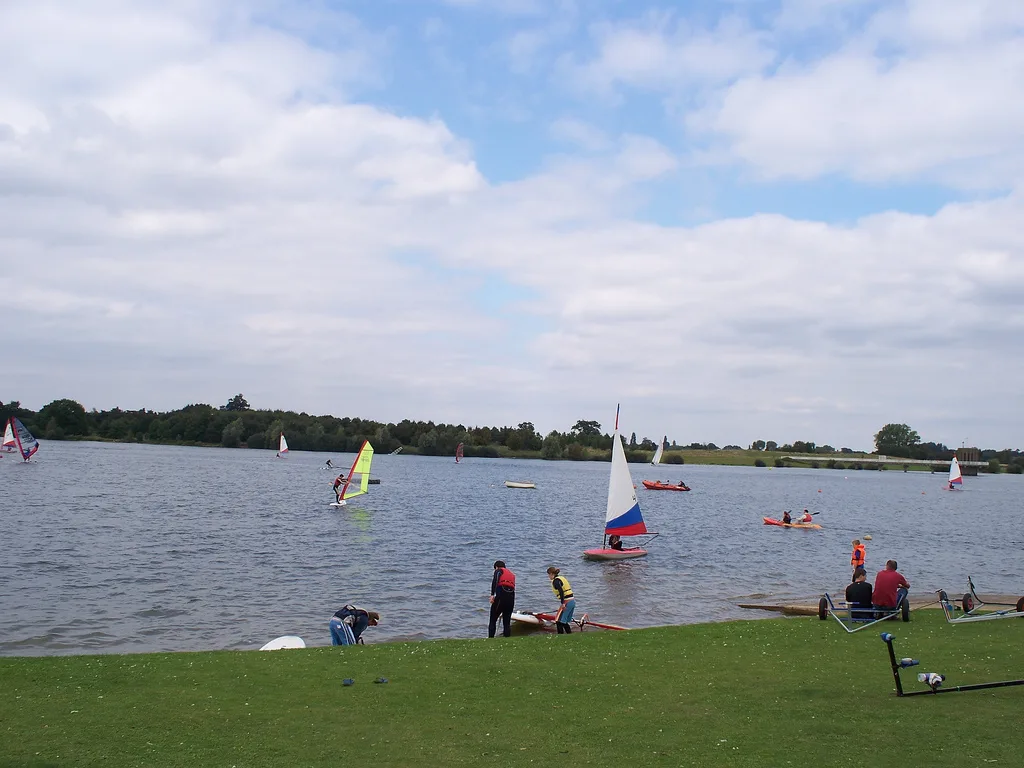
Stutton is a small village and a civil parish approximately seven miles south of Ipswich in Suffolk, United Kingdom, on the Shotley peninsula. The village has two pubs, a community shop, a primary school, a village hall, a vets and a hair salon, an 18th-century period self-catering holiday cottage, bed and breakfast, and a holistic therapy centre. The village church of St. Peter's lies almost a mile from the village centre. The village is home to Stutton Hall, a 16th-century Tudor house. Stutton Hall was built by Sir Edmund Jermy (Knight) c. 1550. The hall is a red-brick house composed of an older east wing and a newer west wing. Stutton is surrounded by farming country. Close to the village lies Alton Water reservoir, popular for windsurfing and sailing, and about two miles east of Stutton in the neighbouring village of Holbrook is the Royal Hospital School.
Excerpt from Wikipedia under CC BY-SA 4.0. See the source article linked in Sources below.
- Coordinates
- 51.9710, 1.1290
- County
- Suffolk
- District
- Babergh
- Parish
- Stutton
- Postcode
- IP9 2TJ
- Parliamentary constituency
- South Suffolk
- Population
- 786
- Nearest railway station
- Mistley — 4.5 km
- Official site
- www.neighbourhood.statistics.gov.uk
Sources
- wikidata: Q279220 (CC0)
- wikipedia: Stutton, Suffolk (CC BY-SA 4.0)
- commons: Stutton Church, Suffolk - geograph.org.uk - 861854.jpg (CC BY-SA 4.0)
Other places nearby
Loading nearby places…
Nearby
 📷 3
📷 3Public art & sculpture · East of England
Stutton Village Sign
Stutton Village Sign — a public art in england-east, United Kingdom.
 📷 4
📷 4Memorials & monuments · East of England
Sarah Cooper
Sarah Cooper — a memorial in england-east, United Kingdom.
 📷 3
📷 3Memorials & monuments · East of England
Stutton War Memorial
Stutton War Memorial — Grade II listed building-listed memorial in england-east, United Kingdom.
Campsites · East of England
Alton Water Campsite
Alton Water Campsite — a campsite in england east.
📷 3Manor houses · East of England
Stutton Manor
Stutton Manor — Grade II listed building-listed manor in england-east, United Kingdom.
 📷 3
📷 3Natural landmarks · East of England
Alton Water
Alton Water — lake in the United Kingdom.
More towns in this region
 Flagship📷 3
Towns & cities · East of England
Alburgh
Alburgh — village and civil parish in Norfolk, UK.
 Flagship📷 3
Towns & cities · East of England
Aldeby
Aldeby — village and civil parish in Norfolk, UK.
 Flagship📷 5
Towns & cities · East of England
Ashill
Ashill — village and civil parish in the English county of Norfolk.
 Flagship📷 3
Towns & cities · East of England
Aslacton
Aslacton — village and civil parish in Norfolk, UK.
Frequently asked questions
- Where is Stutton?
- Stutton is in Suffolk, East of England, United Kingdom (postcode IP9 2TJ), in the parish of Stutton.
- Is Stutton a protected site?
- Yes — Stutton is part of the Suffolk Coast & Heaths National Landscape (AONB).
- Is Stutton free to visit?
- Yes, Stutton is free to enter.
- How do I get to Stutton?
- The nearest railway station is Mistley, about 4.5 km away. Drivers can navigate to postcode IP9 2TJ.