Natural landmarks · East of England
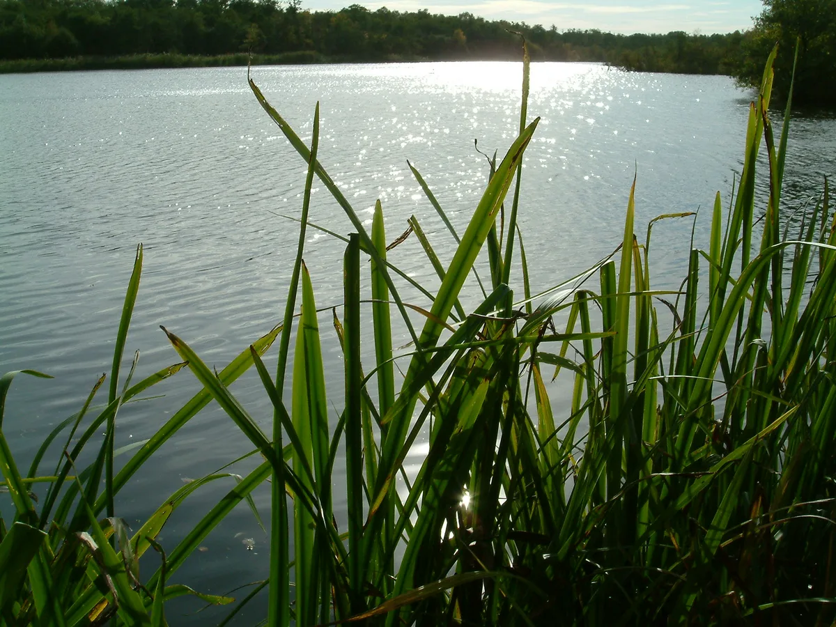
Alton Water
Alton Water — lake in the United Kingdom.

Wikimedia Commons contributors — see linked file page for photographer and licence licence
Plan your visit
- Typical visit
- 1 h–2 h
- Nearest railway station
- Wrabness · 5.3 km
- Free entry
- Dog-friendly
About
Alton Water is a named natural landmark in the United Kingdom. Wikidata describes it as: "lake in the United Kingdom". Coordinates: 51.9806°, 1.1333°.
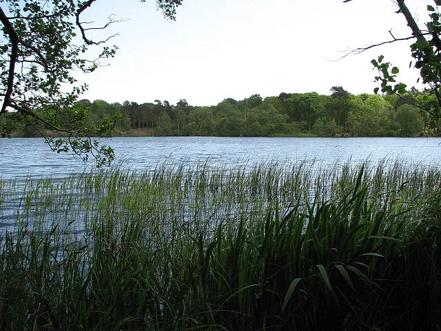
Photo gallery
Protected designations
- Area of Outstanding Natural Beauty: Suffolk Coast & Heaths
Designations sourced from Natural England open data under OGL v3.
From the Wikipedia article
Alton Water (or Alton Reservoir) is a manmade reservoir located on the Shotley peninsula. It is the largest in Suffolk, with a perimeter of over 8 miles (13 km).
Excerpt from Wikipedia under CC BY-SA 4.0. See the source article linked in Sources below.
Background
Architecture
Due to a shortage of water in the Ipswich area in the 1960s, a list of twenty potential sites for reservoirs was made, with Alton being the chosen site. The land was mainly farmland, but was also home to a mill and Alton Hall. The mill was dismantled and reconstructed at the Museum of East Anglian Life in Stowmarket. Construction and the filling with water took 13 years to complete. Alton Reservoir was opened in 1987 and is fed from the River Gipping and bore holes on the north side of the River Orwell. The pumping station and treatment works below the dam is capable of treating up to 10 e6impgal of water a day. Between 85% and 95% of the water goes to Ipswich and Felixstowe via the…
Sourced from Wikipedia under CC BY-SA 4.0.
- Coordinates
- 51.9806, 1.1333
- County
- Suffolk
- District
- Babergh
- Parish
- Holbrook
- Postcode
- IP9 2QG
- Parliamentary constituency
- South Suffolk
- Nearest railway station
- Wrabness — 5.3 km
Sources
- wikidata: Q4736916 (CC0)
- wikipedia: Alton Water (CC BY-SA 4.0)
- commons: Altonwatersports.jpg (CC BY-SA 4.0)
Other places nearby
Loading nearby places…
Nearby
Campsites · East of England
Alton Water Campsite
Alton Water Campsite — a campsite in england east.
 📷 3
📷 3Towns & cities · East of England
Stutton
Stutton — village and civil parish in Suffolk, United Kingdom.
 📷 4
📷 4Memorials & monuments · East of England
Sarah Cooper
Sarah Cooper — a memorial in england-east, United Kingdom.
 📷 3
📷 3Public art & sculpture · East of England
Stutton Village Sign
Stutton Village Sign — a public art in england-east, United Kingdom.
 📷 3
📷 3Follies · East of England
Tattingstone Wonder
Tattingstone Wonder — Folly or eyecatcher.
 📷 3
📷 3Memorials & monuments · East of England
Stutton War Memorial
Stutton War Memorial — Grade II listed building-listed memorial in england-east, United Kingdom.
More natural landmarks in this region
 📷 4
📷 4Natural landmarks · East of England
Cockshoot Broad
Cockshoot Broad — lake in the United Kingdom.
 📷 3
📷 3Natural landmarks · East of England
Filby Broad
Filby Broad — lake in Norfolk, England, UK.
 📷 3
📷 3Natural landmarks · East of England
Fritton Lake
Fritton Lake — lake in Norfolk, England.
_p51b_-_Lake_Lothing.jpg?width=1200) 📷 3
📷 3Natural landmarks · East of England
Lake Lothing
Lake Lothing — lake in the United Kingdom.
Frequently asked questions
- Where is Alton Water?
- Alton Water is in Suffolk, East of England, United Kingdom (postcode IP9 2QG), in the parish of Holbrook.
- Is Alton Water a protected site?
- Yes — Alton Water is part of the Suffolk Coast & Heaths National Landscape (AONB).
- Is Alton Water free to visit?
- Yes, Alton Water is free to enter.
- How do I get to Alton Water?
- The nearest railway station is Wrabness, about 5.3 km away. Drivers can navigate to postcode IP9 2QG.