Natural landmarks · Central Scotland
Stùc a' Chroin
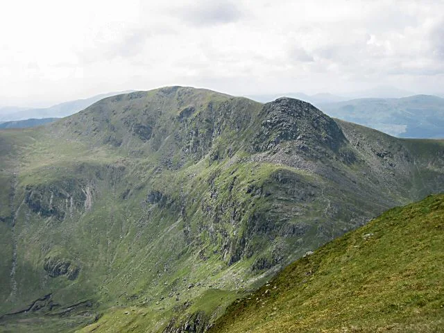
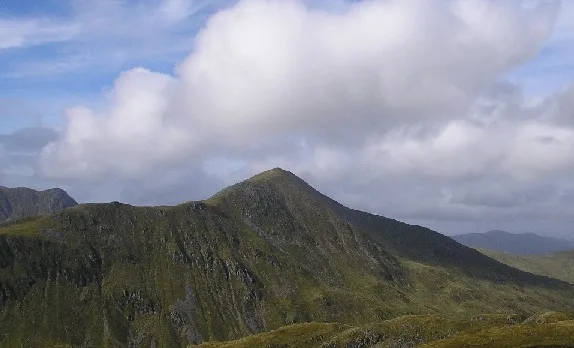
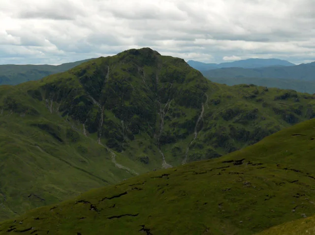
Stùc a' Chroin — 975m high mountain in Perth and Kinross/Stirling, Scotland, UK.

Wikimedia Commons contributors — see linked file page for photographer and licence licence
Plan your visit
- Typical visit
- 1 h–2 h
- Free entry
- Dog-friendly
About
Stùc a' Chroin is a named natural landmark in the United Kingdom. Wikidata describes it as: "975m high mountain in Perth and Kinross/Stirling, Scotland, UK". Coordinates: 56.3293°, -4.2375°.
Photo gallery
From the Wikipedia article
Stùc a' Chroin (Scottish Gaelic: Stùc a' Chrodhain, 'cloven hoof peak') (also translated as 'hill of the little sheepfold' or 'peak of danger') is a mountain in the Breadalbane region of the southern Scottish Highlands. It is a Munro, with a height of 975 metres (3,199 ft). It lies a short distance south of Ben Vorlich and east of Strathyre. The boundary between the council areas of Perth and Kinross and Stirling passes through the summit of the peak, and the town of Callander lies to the south. Stùc a' Chroin is most often climbed together with Ben Vorlich from Ardvorlich on Loch Earnside to the north. The normal routes of ascent is over the summit of Ben Vorlich and down its south west ridge to the Bealach an Dubh Choirein. From this bealach a series of rough paths cut very steeply up the right side of the prominent buttress, involving scrambling, to the summit of Stùc a' Chroin. Returning from the bealach, Ben Vorlich can be skirted utilising a faint, boggy path traversing the grassy slopes on its north west, eventually re-joining the initial ascent path. An alternative is from Ardchullarie on Loch Lubnaig up the forest path to the head of Glen Ample and over Beinn Each, a Corbett. The linking ridge is very rough and rocky. On return, the open west slopes of Beinn Each can be descended, encountering the remarkable eggbox terrain of a large rock slope failure (see Lochearnhead, Glen Ample) A longer, unfrequented route of ascent to Stùc a' Chroin from Arivurichardich ascends the mountain's south east ridge.
Excerpt from Wikipedia under CC BY-SA 4.0. See the source article linked in Sources below.
- Coordinates
- 56.3293, -4.2375
- Address
- Perth and Kinross/Stirling,<br />Scotland
- Official site
- www.walkhighlands.co.uk
Sources
- wikidata: Q6979322 (CC0)
- wikipedia: Stùc a' Chroin (CC BY-SA 4.0)
- commons: Stuc a'Chroin - geograph.org.uk - 32775.jpg (CC BY-SA 4.0)
Other places nearby
Loading nearby places…
Nearby
 📷 3
📷 3Mountains & hills · Central Scotland
Stùc a' Chroin
Stùc a' Chroin — Named summit at 975 m.
 📷 2
📷 2Mountains & hills · Central Scotland
Leacann Amarach
Leacann Amarach — a mountain in scotland-central, United Kingdom.
 📷 5
📷 5Mountains & hills · Central Scotland
Ben Vorlich
Ben Vorlich — Named summit at 985 m.
 📷 5
📷 5Natural landmarks · Central Scotland
Ben Vorlich
Ben Vorlich — 985m high mountain in Perth and Kinross, Scotland, UK.
 📷 3
📷 3Mountains & hills · Central Scotland
Beinn Each
Beinn Each — Named summit at 813 m.
 📷 4
📷 4Reservoirs & lochs · Scottish Highlands
Breadalbane
Breadalbane in Scotland Islands, United Kingdom.
More natural landmarks in this region
 Flagship📷 3
Natural landmarks · Central Scotland
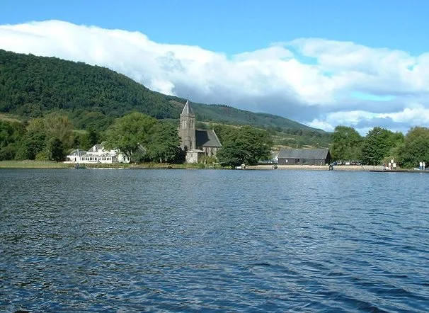
Lake of Menteith
Lake of Menteith — freshwater lake in Stirling, Scotland, UK, outflows east to Googie Water.
 📷 5
📷 5Natural landmarks · Central Scotland
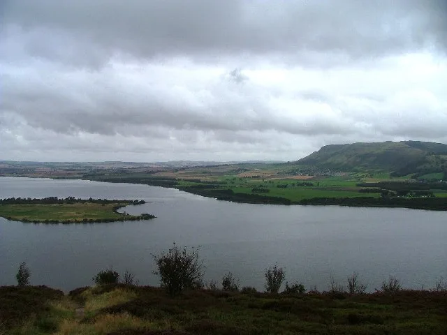
Loch Leven
Loch Leven — lake at Kinross, Perth and Kinross, Scotland, UK, outflows to River Leven.
 📷 3
📷 3Natural landmarks · Central Scotland
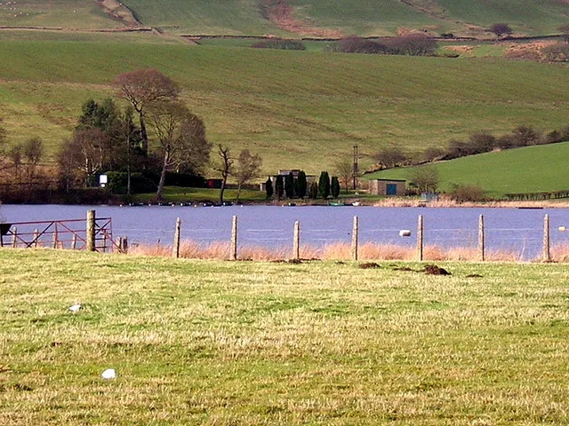
Antermony Loch
Antermony Loch — lake in East Dunbartonshire, Scotland, UK, outflows south via a watercourse to River Kelvin.
 📷 3
📷 3Natural landmarks · Central Scotland
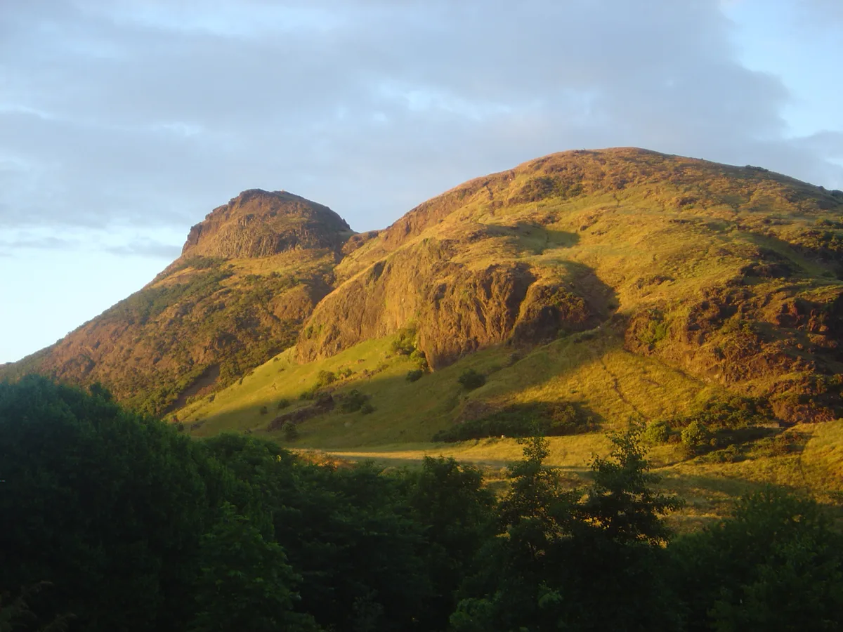
Arthur's Seat
Arthur's Seat — mountain in Edinburgh, Scotland, UK.
Frequently asked questions
- Where is Stùc a' Chroin?
- Stùc a' Chroin is in Central Scotland, in the United Kingdom — coordinates 56.3293°, -4.2375°.
- Is Stùc a' Chroin free to visit?
- Yes — admission to Stùc a' Chroin is free.