Hill forts · Northern Ireland
Struell Wells
Struell Wells — wells in County Down.

Wikimedia Commons contributors — see linked file page for photographer and licence licence
%2C_October_2009.JPG)
Plan your visit
- Typical visit
- 1 h–2 h
- Nearest railway station
- Downpatrick · 3.0 km
- Free entry
- Dog-friendly
About
Struell Wells is a hill fort in the United Kingdom. Wikidata describes it as: "wells in County Down". Coordinates: 54.3238°, -5.6767°.
Photo gallery
From the Wikipedia article
Struell Wells (Irish: Toibreacha an tSruthail; Ulster-Scots: Struell Waals) are a set of four holy wells in the townland of Struell, 1.5 miles (2.4 km) east of Downpatrick, County Down, Northern Ireland (grid ref: J513442). The wells date from before the time of Saint Patrick, and even today are used for people seeking cures. On Mid-Summer Eve (Saint John's Eve) and the Friday before Lammas, hundreds of pilgrims used to visit Struell. The earliest written reference to the wells is in 1306 when a chapel was recorded on the site, but none of the surviving buildings is earlier than about 1600. Pilgrimages to the site are well documented from the 16th century to the 19th century. The site is managed by the Northern Ireland Environment Agency.
Excerpt from Wikipedia under CC BY-SA 4.0. See the source article linked in Sources below.
Background
History
In 2006, Environment and Heritage Service officials were asked to explain why the wells were drying up and why two of the wells on the site no longer contained water. They said they were aware of the water flow problems and had remedial measures in place which would involve the excavation of some of the piping.
Description
A fast flowing stream runs in a south-easterly direction, partly underground, through the secluded, rocky valley, along which is ranged five buildings. The stream (in Irish sruthar) (or sruthail) gives the site its name.
Sourced from Wikipedia under CC BY-SA 4.0.
- Coordinates
- 54.3238, -5.6767
- District
- Newry, Mourne and Down
- Postcode
- BT30 6RJ
- Parliamentary constituency
- Strangford
- Nearest railway station
- Downpatrick — 3 km
- Official site
- www.communities-ni.gov.uk
Sources
- wikidata: Q2357218 (CC0)
- wikipedia: Struell Wells (CC BY-SA 4.0)
- commons: Struell Wells (19), October 2009.JPG (CC BY-SA 4.0)
Other places nearby
Loading nearby places…
Nearby
 📷 3
📷 3Historic churches · Northern Ireland
St Patrick's Chair
St Patrick's Chair — a other in northern-ireland, United Kingdom.
 📷 4
📷 4Natural landmarks · Northern Ireland
Downe Hospital
Downe Hospital in Northern Ireland, United Kingdom.
 📷 4
📷 4Natural landmarks · Northern Ireland
Downshire Hospital
Downshire Hospital in Northern Ireland, United Kingdom.
 📷 5
📷 5Natural landmarks · Northern Ireland
Downpatrick
Downpatrick in Northern Ireland, United Kingdom.
 📷 3
📷 3Natural landmarks · Northern Ireland
Lecale Lower
Lecale Lower in Northern Ireland, United Kingdom.
 📷 3
📷 3Natural landmarks · Northern Ireland
Ballyalton Court Cairn
Ballyalton Court Cairn in Northern Ireland, United Kingdom.
More places in this region
 📷 3
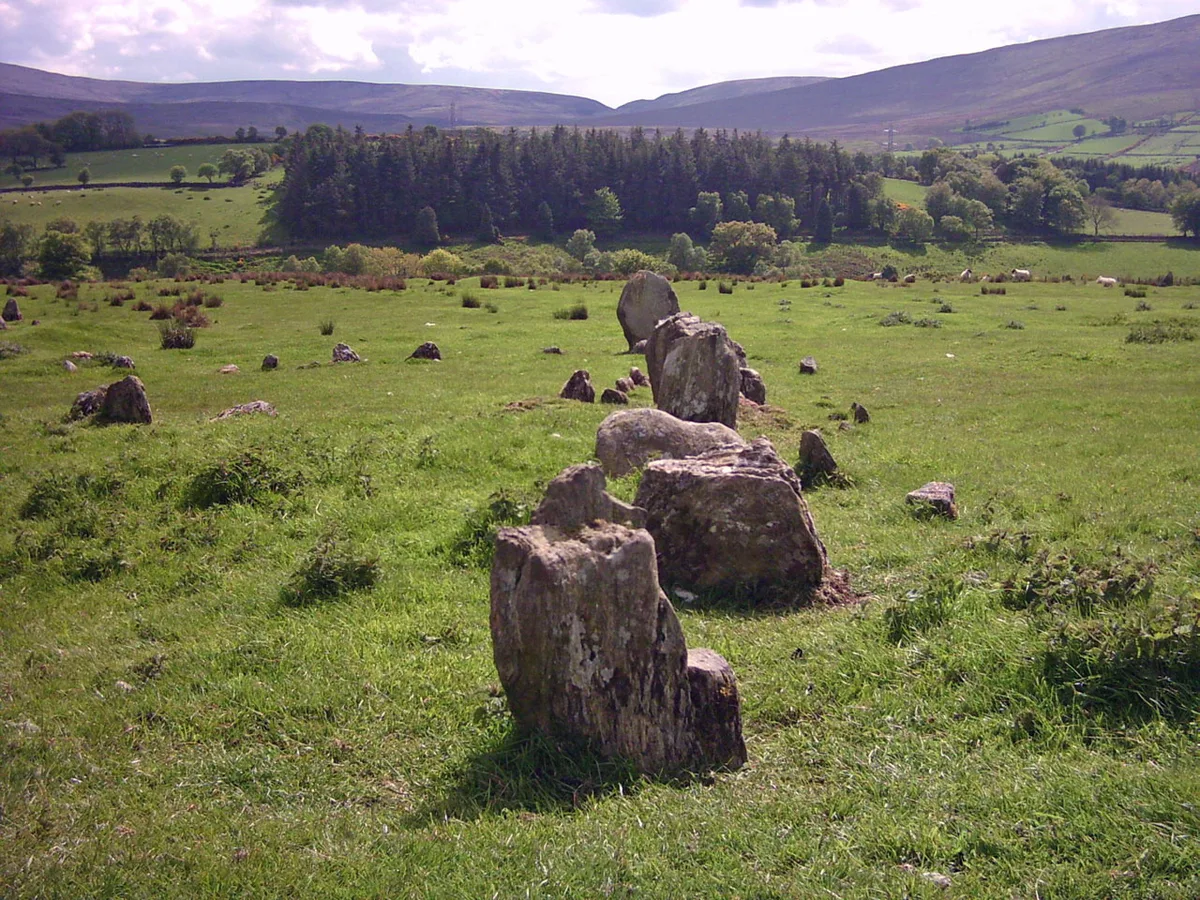
📷 3Hill forts · Northern Ireland
Aughlish
Aughlish — archaeological site in County Londonderry, Northern Ireland, England, UK.
 📷 3
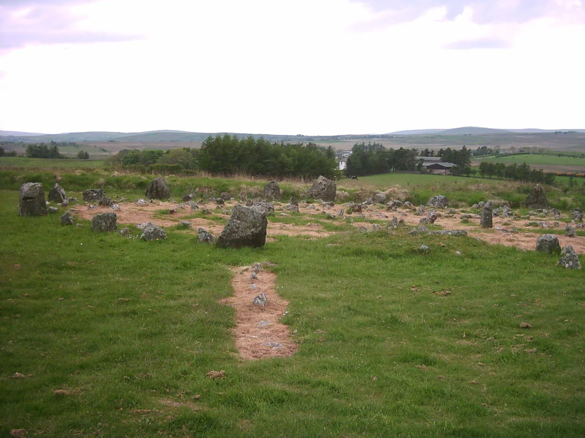
📷 3Hill forts · Northern Ireland
Beaghmore
Beaghmore — complex of early Bronze Age megalithic features in Northern Ireland.
 📷 3
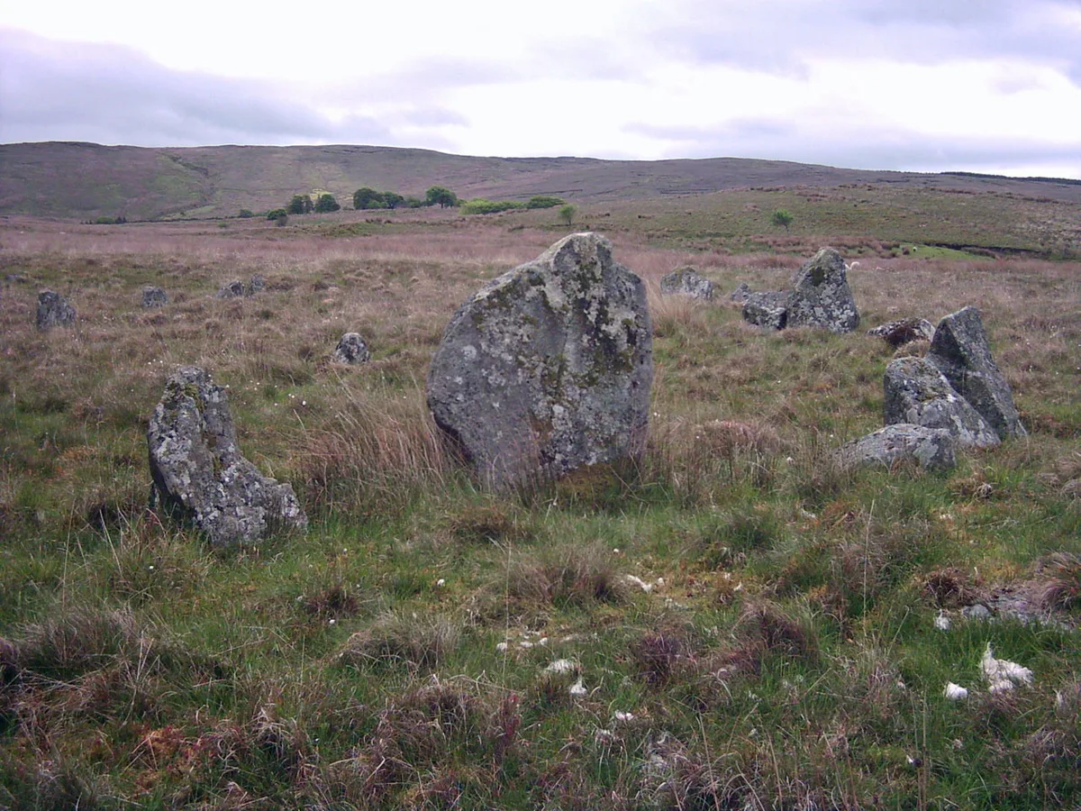
📷 3Hill forts · Northern Ireland
Corick
Corick — archaeological site in United Kingdom.
 📷 3
📷 3Hill forts · Northern Ireland
Craig Hill
Craig Hill is a hill fort in the United Kingdom.
Frequently asked questions
- Where is Struell Wells?
- Struell Wells is in Northern Ireland, United Kingdom (postcode BT30 6RJ).
- Is Struell Wells free to visit?
- Yes, Struell Wells is free to enter.
- How do I get to Struell Wells?
- The nearest railway station is Downpatrick, about 3.0 km away. Drivers can navigate to postcode BT30 6RJ.