Hill forts · South West England
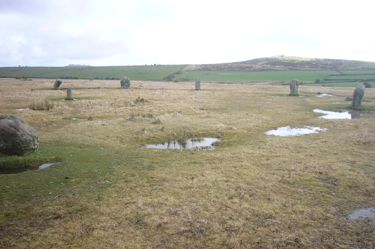
Stripple stones
Stripple stones — Neolithic henge monument; stone circle.

Wikimedia Commons contributors — see linked file page for photographer and licence licence
_(14590965339).jpg)
Plan your visit
- Typical visit
- 1 h–2 h
- Free entry
- Dog-friendly
About
Stripple stones is a hill fort in the United Kingdom. Wikidata describes it as: "Neolithic henge monument; stone circle". Coordinates: 50.5470°, -4.6211°.
Photo gallery
Protected designations
- Site of Special Scientific Interest: Bodmin Moor, North SSSI
- Site of Special Scientific Interest: River Camel Valley and Tributaries SSSI
- Area of Outstanding Natural Beauty: Cornwall
Designations sourced from Natural England open data under OGL v3.
From the Wikipedia article
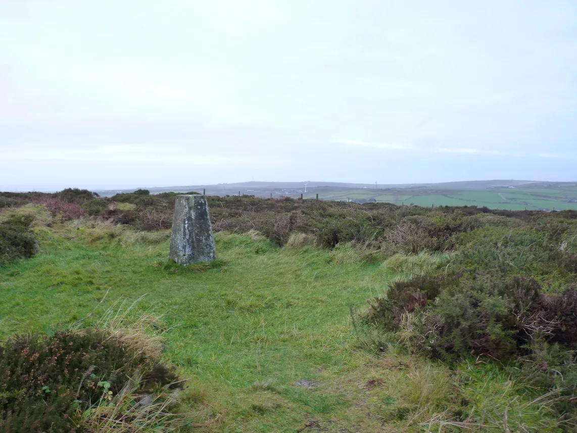
The Stripple stones (or Stripple stones circle) is a henge and stone circle located on the south slope of Hawk's Tor, Blisland, 10 kilometres (6.2 mi) north northeast of Bodmin on Bodmin Moor in Cornwall, England, UK.
Excerpt from Wikipedia under CC BY-SA 4.0. See the source article linked in Sources below.
Background
Description
First recorded by this name during the reign of Queen Elizabeth I the circle has been described by William Lukis as "the most interesting and remarkable monument in the county". It is surrounded by a circular ditch and vallum that forms a level platform 175 ft in diameter. The circle is 145.5 ft in diameter with four granite standing stones and several fallen. In the centre is a giant fallen menhir approximately 12 ft long and 5 ft at the widest point, split in three places. Lukis suggested that with an average spacing of 12 ft, there would have been thirty seven original stones, whilst Aubrey Burl suggested only twenty eight.
Sourced from Wikipedia under CC BY-SA 4.0.
- Coordinates
- 50.5470, -4.6211
- District
- Cornwall
- Parish
- Blisland
- Postcode
- PL30 4HN
- Parliamentary constituency
- North Cornwall
Sources
- wikidata: Q7624168 (CC0)
- wikipedia: Stripple stones (CC BY-SA 4.0)
- commons: The Victoria history of the county of Cornwall (1906) (14590965339).jpg (CC BY-SA 4.0)
Other places nearby
Loading nearby places…
Nearby
 📷 5
📷 5Mountains & hills · South West England
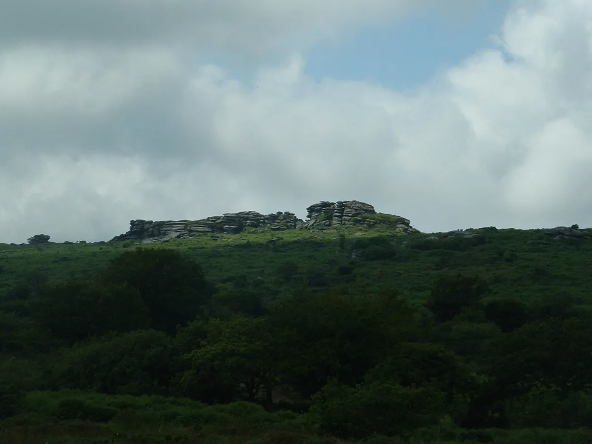
Hawk's Tor
Hawk's Tor — Named summit at 307 m.
 📷 3
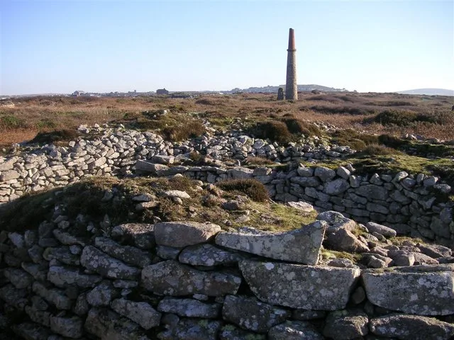
📷 3Archaeological sites · South West England
The Trippet Stones
The Trippet Stones — a archaeological in england-south-west, United Kingdom.
 📷 3
📷 3Hill forts · South West England
Trippet stones
Trippet stones — stone circle on Bodmin Moor, Cornwall, England.
 📷 5
📷 5Historic churches · South West England
Temple, Cornwall
Temple, Cornwall — a church in england-south-west, United Kingdom.
 📷 5
📷 5Hill forts · South West England
Leaze stone circle
Leaze stone circle — stone circle on Bodmin Moor, Cornwall, England.
 📷 3
📷 3Natural landmarks · South West England
Temple Trout Fishery
Temple Trout Fishery — a other in england-south-west, United Kingdom.
More places in this region
 📷 5
📷 5Hill forts · South West England
Ballowall Barrow
Ballowall Barrow — archaeological site in St Just, Cornwall, England, UK.
 📷 5
📷 5Hill forts · South West England
Barnstaple Castle
Barnstaple Castle — castle in Devon, England, UK.
 📷 5
📷 5Hill forts · South West England
Bartinney Castle
Bartinney Castle — Iron Age enclosure in Cornwall, England, UK.
 📷 5
📷 5Hill forts · South West England
Berry's Wood
Berry's Wood — iron Age hill fort in south Devon, England, UK.
Frequently asked questions
- Where is Stripple stones?
- Stripple stones is in South-West England, United Kingdom (postcode PL30 4HN), in the parish of Blisland.
- Is Stripple stones a protected site?
- Yes — Stripple stones is part of the Bodmin Moor, North SSSI Site of Special Scientific Interest and the River Camel Valley and Tributaries SSSI Site of Special Scientific Interest.
- Is Stripple stones free to visit?
- Yes, Stripple stones is free to enter.
- How do I get to Stripple stones?
- Drivers can navigate to postcode PL30 4HN. It sits within the North Cornwall parliamentary constituency.