Natural landmarks · North East England
Starling Dodd
Starling Dodd — mountain in United Kingdom.

Wikimedia Commons contributors — see linked file page for photographer and licence licence
Plan your visit
- Typical visit
- 1 h–2 h
- Free entry
- Dog-friendly
About
Starling Dodd is a named natural landmark in the United Kingdom. Wikidata describes it as: "mountain in United Kingdom". Coordinates: 54.5302°, -3.3274°.
Photo gallery
Protected designations
- Site of Special Scientific Interest: River Derwent and Tributaries SSSI
- National Nature Reserve: WILD ENNERDALE
Designations sourced from Natural England open data under OGL v3.
From the Wikipedia article
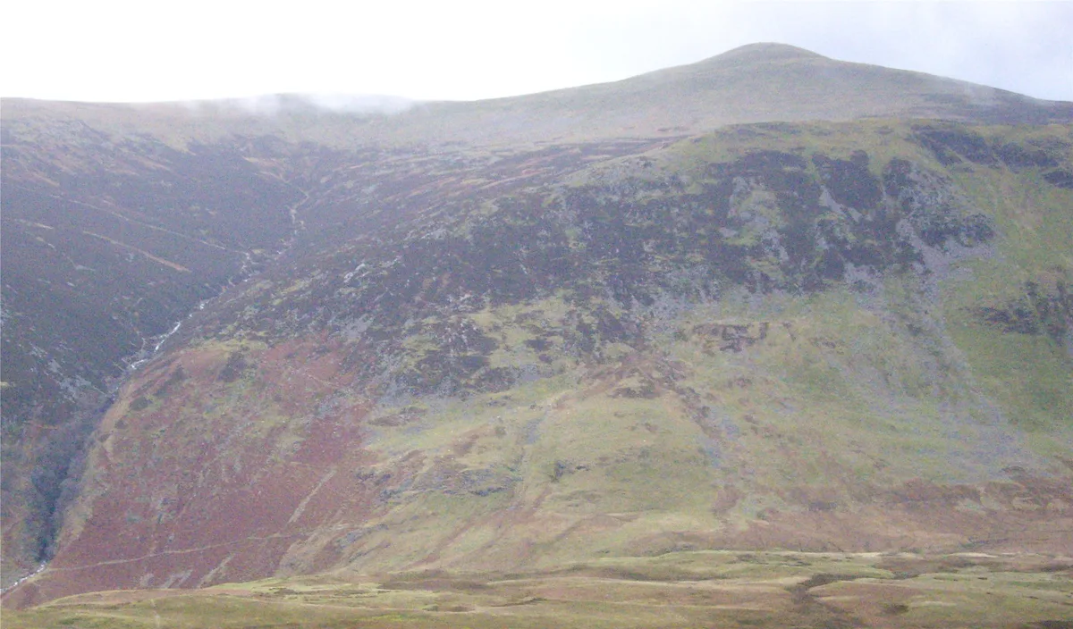
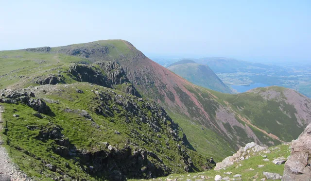
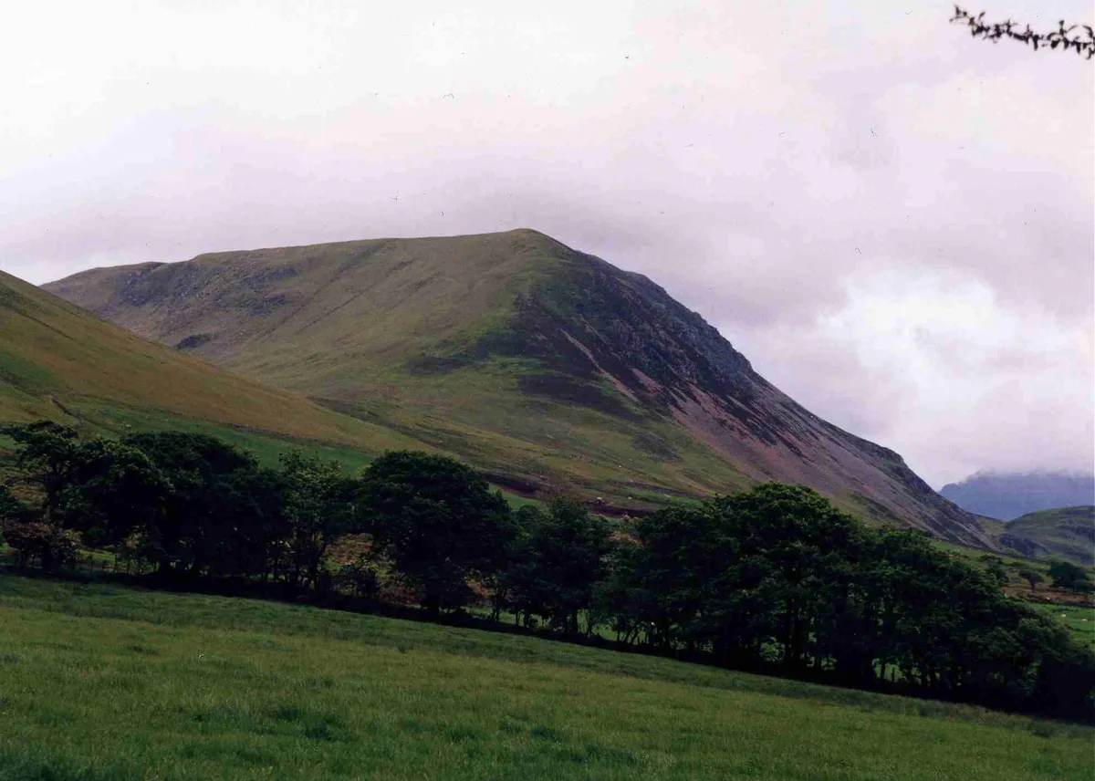
Starling Dodd is a fell in the western part of the English Lake District, located between the valleys of Ennerdale and Buttermere, on the ridge between Great Borne to its west and Red Pike to its east. Not visible from Buttermere and rounded in profile, Starling Dodd is a relatively unfrequented top.
Excerpt from Wikipedia under CC BY-SA 4.0. See the source article linked in Sources below.
- Coordinates
- 54.5302, -3.3274
- District
- Cumberland
- Parish
- Ennerdale and Kinniside
- Postcode
- CA23 3AX
- Parliamentary constituency
- Whitehaven and Workington
Sources
- wikidata: Q7602094 (CC0)
- wikipedia: Starling Dodd (CC BY-SA 4.0)
- commons: Starling Dodd.jpg (CC BY-SA 4.0)
Other places nearby
Loading nearby places…
Nearby
 📷 3
📷 3Mountains & hills · North East England
Starling Dodd
Starling Dodd — Named summit at 633 m.
Hostels · North East England
Ennerdale
Ennerdale — a hostel in england north east.
 📷 4
📷 4Caves · North West England
Scale Force
Scale Force is considered the highest waterfall in the English Lake District. Opinions vary about how its precise height is calculated, but the total height is normally stated as 170 feet (51.8m). It
 📷 3
📷 3Natural landmarks · North East England
Red Pike
Red Pike — fell near Buttermere in the Lake District, England.
 📷 3
📷 3Mountains & hills · North East England
Red Pike
Red Pike — Named summit at 755.3 m.
 📷 4
📷 4Mountains & hills · North East England
Great Borne
Great Borne — Named summit at 616 m.
More natural landmarks in this region
 Flagship📷 5
Natural landmarks · North East England
Brothers Water
Brothers Water — lake in Cumbria, England, UK.
 📷 5
📷 5Natural landmarks · North East England
Angle Tarn
Angle Tarn — lake near Patterdale, Cumbria, England, United Kingdom.
 📷 3
📷 3Natural landmarks · North East England
Angletarn Pikes
Angletarn Pikes — mountain in United Kingdom.
 📷 3
📷 3Natural landmarks · North East England
Ard Crags
Ard Crags — mountain in United Kingdom.
Frequently asked questions
- Where is Starling Dodd?
- Starling Dodd is in North-East England, United Kingdom (postcode CA23 3AX), in the parish of Ennerdale and Kinniside.
- Is Starling Dodd a protected site?
- Yes — Starling Dodd is part of the River Derwent and Tributaries SSSI Site of Special Scientific Interest and the WILD ENNERDALE National Nature Reserve.
- Is Starling Dodd free to visit?
- Yes, Starling Dodd is free to enter.
- How do I get to Starling Dodd?
- Drivers can navigate to postcode CA23 3AX. It sits within the Whitehaven and Workington parliamentary constituency.