Memorials & monuments · North West England
St Anthony's Tower Approximately 150 Metres East Of A6 North Of Milnthorpe
St Anthony's Tower Approximately 150 Metres East Of A6 North Of Milnthorpe — Grade II listed building-listed memorial in england-north-west, United Kingdom.

John Firth — CC BY-SA 2.0 via Wikimedia Commons licence
Plan your visit
- Typical visit
- 15 min–45 min
- Free entry
- Dog-friendly
About
St Anthony's Tower Approximately 150 Metres East Of A6 North Of Milnthorpe is a Grade II listed building-listed memorial in england-north-west, United Kingdom, registered on the National Heritage List for England (NHLE entry 1350009). Listed status protects buildings and structures of special architectural or historic interest. See the linked Wikipedia article for further details.
Photo gallery
Heritage listing
Details SD 48 SE MILNTHORPE A6 (off East side) 3/1 St Anthony's Tower approx.150 m East of A6 North of Milnthorpe II Folly in shape of Tower. Probably early C19 (recorded as in existence by 1832). Stone rubble with dressed stone corniced parapet. Circular plan. 2 storeys. 5 window openings, not glazed with roughly cut lintels and cills and and doors approached by flight of external steps at first floor. Ground floor has window opening to south and slit openings to remaining sides. Visible as landscape feature from some considerable distance all round, notably from Dallam Towers whose owner in 1832 prevented any further extension of the development along Church Street in Milnthorpe so that his view of the folly from his house was not obscured. Further information: CURWEN, J F History of Heversham with Milnthorpe, pub. Titus Wilson 1930, p11. Listing NGR: SD4987682186 Legacy The contents of this record have been generated from a legacy data system. Legacy System number: 75553 Legacy System: LBS
From the Historic England List Entry under OGL v3.
Place summary
St Anthony's Tower is a memorial located approximately 150 metres east of the A6, north of Milnthorpe in North-West England. It is designated as a Grade II listed building, recognising its architectural and historical significance.
AI-generated from the structured facts on this page (operator, designation, listing, era). Not a substitute for visiting.
- Coordinates
- 54.2329, -2.7705
- District
- Westmorland and Furness
- Parish
- Milnthorpe
- Postcode
- LA7 7DZ
- Parliamentary constituency
- Morecambe and Lunesdale
Sources
- wikidata: Q26633251 (CC0)
Other places nearby
Loading nearby places…
Nearby
📷 3Memorials & monuments · North West England
St Anthony's Tower
St Anthony's Tower — a memorial in england-north-west, United Kingdom.
 📷 3
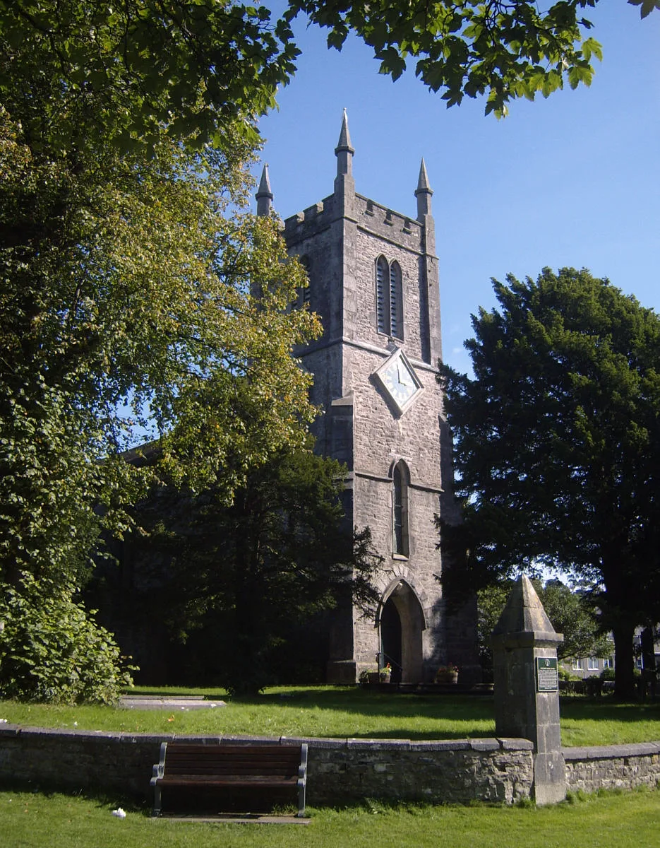
📷 3Historic churches · North West England
St Thomas' Church, Milnthorpe
St Thomas' Church, Milnthorpe — church in United Kingdom.
 📷 3
📷 3Historic bridges · North West England
The Old Bridge
The Old Bridge is a historic bridge in the United Kingdom.
 📷 5
📷 5Towns & cities · North West England
Heversham
Heversham — village in Cumbria, England, UK.
 📷 3
📷 3Memorials & monuments · North West England
Heversham War Memorial
Heversham War Memorial — Grade II listed building-listed memorial in england-north-west, United Kingdom.
 📷 5
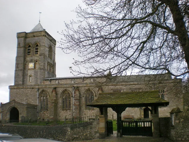
📷 5Historic churches · North West England
St Peter's Church, Heversham
St Peter's Church, Heversham — church in Heversham, Cumbria, England, UK.
More memorials in this region
 📷 3
📷 3Memorials & monuments · North West England
Accrington War Memorial
Accrington War Memorial — War memorial, dating to 1922.
.jpg?width=1200) 📷 5
📷 5Memorials & monuments · North West England
Ashton Memorial
Ashton Memorial is a memorial in the United Kingdom.
 📷 4
📷 4Memorials & monuments · North West England
Atom
Atom is a memorial in the United Kingdom.
 📷 3
📷 3Memorials & monuments · North West England
Baddeley Clock
Baddeley Clock is a memorial in the United Kingdom.
Frequently asked questions
- Where is St Anthony's Tower Approximately 150 Metres East Of A6 North Of Milnthorpe?
- St Anthony's Tower Approximately 150 Metres East Of A6 North Of Milnthorpe is in North-West England, United Kingdom (postcode LA7 7DZ), in the parish of Milnthorpe.
- Is St Anthony's Tower Approximately 150 Metres East Of A6 North Of Milnthorpe a listed building?
- St Anthony's Tower Approximately 150 Metres East Of A6 North Of Milnthorpe is officially recognised as Grade II listed building listed.
- Is St Anthony's Tower Approximately 150 Metres East Of A6 North Of Milnthorpe free to visit?
- Yes, St Anthony's Tower Approximately 150 Metres East Of A6 North Of Milnthorpe is free to enter.
- How do I get to St Anthony's Tower Approximately 150 Metres East Of A6 North Of Milnthorpe?
- Drivers can navigate to postcode LA7 7DZ. It sits within the Morecambe and Lunesdale parliamentary constituency.