Historic houses · South West England
South Myrtelbury Iron Age Enclosure
South Myrtelbury Iron Age Enclosure — a historic house in england-south-west, United Kingdom.

Roger Cornfoot — CC BY-SA 2.0 via Wikimedia Commons licence
Plan your visit
- Typical visit
- 1 h–2 h
- Family-friendly
- Limited wheelchair access
About
South Myrtelbury Iron Age Enclosure is a historic house located in england-south-west, United Kingdom. Sourced from OpenStreetMap (ODbL licence); see local listings for visitor information, opening hours and admission details.
Photo gallery
Place summary
South Myrtelbury Iron Age Enclosure is a historic site located in South-West England. This archaeological enclosure dates back to the Iron Age, showcasing the area's ancient history. It provides insight into early settlement patterns and defensive structures of the time.
AI-generated from the structured facts on this page (operator, designation, listing, era). Not a substitute for visiting.
- Coordinates
- 51.2201, -3.8032
- County
- Devon
- District
- North Devon
- Parish
- Brendon and Countisbury
- Postcode
- EX35 6NT
- Parliamentary constituency
- North Devon
Sources
- osm: way/71810332 (ODbL)
Other places nearby
Loading nearby places…
Nearby
 📷 5
📷 5Museums · South West England
Hoar Oak Water
Hoar Oak Water is a moorland tributary of the East Lyn River in Exmoor, Somerset, England. It rises at Hoaroak Hill in the Chains geological site and flows to Watersmeet in the East Lyn Valley in Devo
 📷 5
📷 5Historic houses · South West England
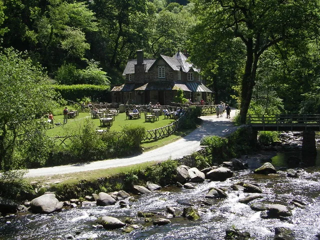
Watersmeet House
Watersmeet House — house in Countisbury, Devon, England, UK.
Vineyards · South West England
Myrtleberry North Camp, a late prehistoric multiple enclosure fort 200m north west of Waters Meet House
Myrtleberry North Camp, a late prehistoric multiple enclosure fort 200m north west of Waters Meet House — a UK vineyard in england south west, producing English or Welsh wine from cool-climate grape varieties.
 📷 3
📷 3Historic houses · South West England
Myrtlebury North Iron Age Enclosure
Myrtlebury North Iron Age Enclosure — a historic house in england-south-west, United Kingdom.
 📷 3
📷 3Mountains & hills · South West England
Wind Hill
Wind Hill — Named summit at 261 m.
Vineyards · South West England
Earthwork defences of Countisbury Castle promontory fort
Earthwork defences of Countisbury Castle promontory fort — a UK vineyard in england south west, producing English or Welsh wine from cool-climate grape varieties.
More historic houses in this region
 Flagship📷 7
Historic houses · South West England
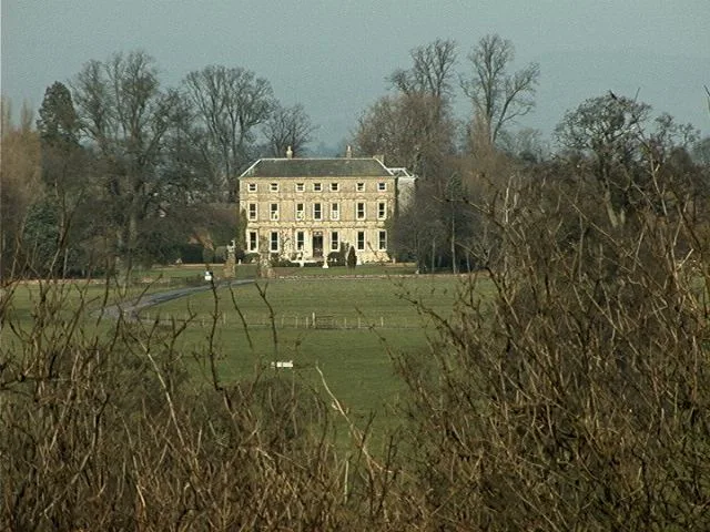
Hazlegrove House
Hazlegrove House — house in Queen Camel, South Somerset, England, UK.
 📷 5
📷 5Historic houses · South West England
1, The Cloisters, Cathedral Close
1, The Cloisters, Cathedral Close — house in Exeter, Devon, England, UK.
_-_geograph.org.uk_-_6470250.jpg?width=1200) 📷 5
📷 5Historic houses · South West England
10, Guinea Street
10, Guinea Street — Georgian house in Bristol, England.
 📷 5
📷 5Historic houses · South West England
12 Orchard Street
12 Orchard Street — house in Bristol, United Kingdom.
Frequently asked questions
- Where is South Myrtelbury Iron Age Enclosure?
- South Myrtelbury Iron Age Enclosure is in South West England, in the United Kingdom — coordinates 51.2201°, -3.8032°.
- Is South Myrtelbury Iron Age Enclosure wheelchair accessible?
- Partially — OpenStreetMap notes limited wheelchair access at South Myrtelbury Iron Age Enclosure. Check ahead for specific facilities.