Stately homes · London
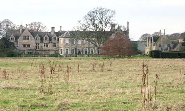
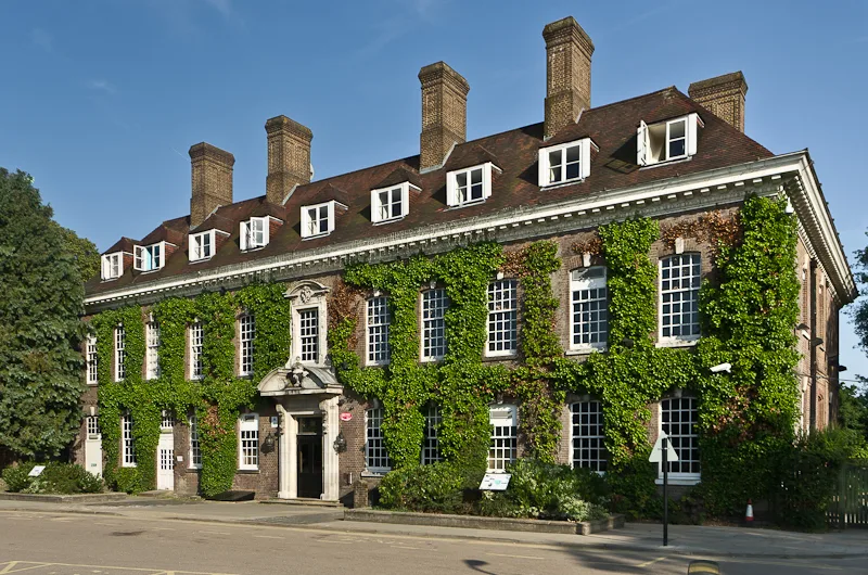
Simpson's Manor
Simpson's Manor is a stately home in the United Kingdom.

Wikimedia Commons licence
Plan your visit
- Typical visit
- 2 h–4 h
- Nearest railway station
- Bromley South · 0.3 km
- Family-friendly
- Limited wheelchair access
About
Simpson's Manor is a stately home in the United Kingdom. Coordinates: 51.4011°, 0.0141°. This entry is part of The Great Britain Guide, a free, ad-free, open-data tourist directory.
Photo gallery
From the Wikipedia article
Simpson's Manor, or Simpson's Place, was a moated medieval manor house in Bromley, Kent, England, with evidence of habitation going back to the reign of Edward I (r. 1272–1307). It was demolished around 1870 but survives in the name of a (minor) local road – Simpsons Road.
Excerpt from Wikipedia under CC BY-SA 4.0. See the source article linked in Sources below.
Background
History
Historical records show that the site belonged to the "Bankewell" (aka "Banquelle" or "de Banquelle") family as far back as 1302 (during the reign of Edward I) with John de Bankwell holding a charter of free warren to his lands there. His descendant Thomas de Bankewell is recorded as dying as a fief in 1352 (during Edward III's reign). The land eventually passed to the Clark family, and during the reign of Henry V (1413–1422) William Clark applied for a license to build a fortified manor house with crenellated walls and a deep moat (the latter being recorded as "supplied and nourished with a living spring"). John Simpson acquired the manor in the latter part of the reign of Henry VI (r.…
Description
According to Dunkin. the original castle-like manor house was probably square in shape with fortified crenellated walls surrounded on all sides by a deep moat. Access was by a drawbridge on the northern side. The foundations of the walls were of "large flints intermixed with stone and cemented with strong lime mortar". and there were strong buttresses securing the angles into the moat. The Lord of the domain would have lived in apartements either within the outer walls or, more likely, in a separate structure within the central courtyard – the latter would have been more defensible. There was also a small terrace projecting from the eastern side of the house. Topographically, the house was…
Visiting
The former site of Simpson's manor house is now partially occupied by a Quaker meeting house at the junction of Ringer's road and Ravensbourne road.
Sourced from Wikipedia under CC BY-SA 4.0.
- Coordinates
- 51.4011, 0.0141
- District
- Bromley
- Parish
- Bromley, unparished area
- Postcode
- BR1 1HX
- Parliamentary constituency
- Bromley and Biggin Hill
- Nearest railway station
- Bromley South — 0.3 km
- Official site
- churchilltheatre.co.uk
Sources
- wikidata: Q7521059 (CC0)
- wikipedia: Simpson's Manor (CC BY-SA 4.0)
Other places nearby
Loading nearby places…
Nearby
 📷 5
📷 5Theatres · London
Gaumont Bromley
Gaumont Bromley — a cinema heritage in england-london, United Kingdom.
Cinemas · London
Vue Cinema
Vue Cinema — a cinema in england london.
 📷 5
📷 5Theatres · London
The Churchill
The Churchill is a theatre in the United Kingdom.
 📷 5
📷 5Museums · London
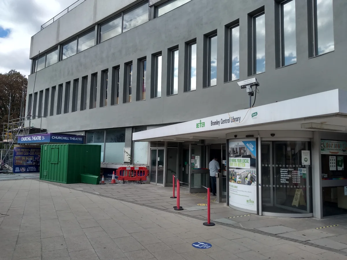
Bromley Central Library
Bromley Central Library — a museum in england-london, United Kingdom.
 📷 5
📷 5Theatres · London
Amphitheatre
Amphitheatre is a theatre in the United Kingdom.
 📷 5
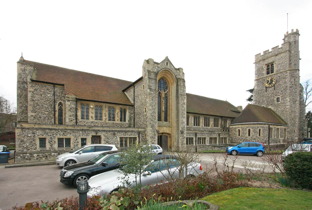
📷 5Historic churches · London
Church of St Peter and St Paul, Bromley
Church of St Peter and St Paul, Bromley — church in Bromley, London.
More places in this region
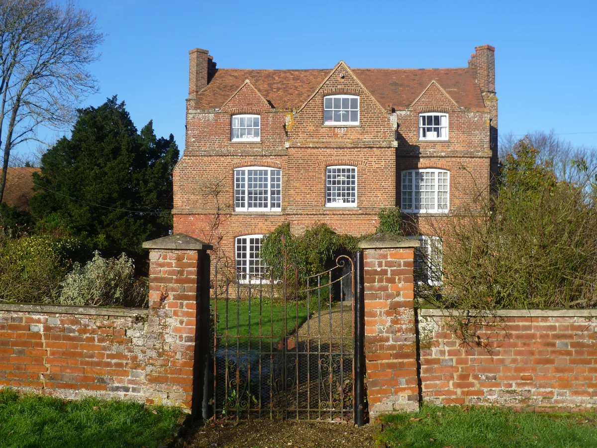 Flagship📷 5
Stately homes · London
Ash Manor
Ash Manor — manor house in Ash, Sevenoaks, Kent, England, UK.
 📷 5
📷 5Stately homes · London
Aston Bury
Aston Bury — manor house in Aston, Hertfordshire, England, UK.
 📷 5
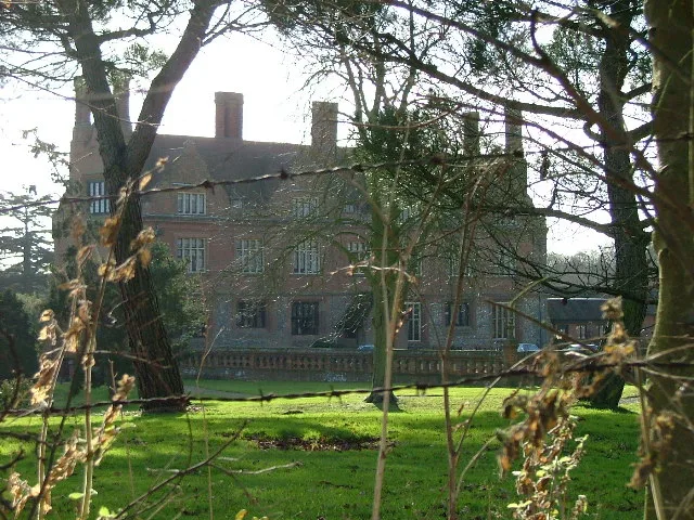
📷 5Stately homes · London
Barnwell Manor
Barnwell Manor — manor house in Barnwell, Northamptonshire, England, UK.
 📷 5
📷 5Stately homes · London
Batchwood Hall
Batchwood Hall — building in United Kingdom.
Frequently asked questions
- Where is Simpson's Manor?
- Simpson's Manor is in London, in the United Kingdom — coordinates 51.4011°, 0.0141°. The nearest railway station is Bromley South, around 0.3 km away.
- Is Simpson's Manor wheelchair accessible?
- Partially — OpenStreetMap notes limited wheelchair access at Simpson's Manor. Check ahead for specific facilities.