Harbours & ports · Yorkshire & the Humber
Scarborough Harbour
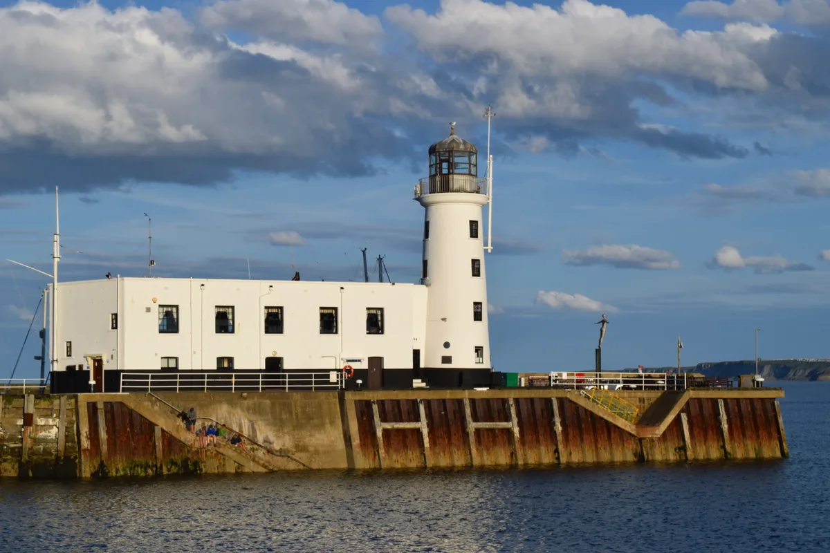
Scarborough Harbour — harbour in Scarborough, North Yorkshire, England.

Wikimedia Commons contributors — see linked file page for photographer and licence licence
Plan your visit
- Typical visit
- 45 min–1.5 h
- Nearest railway station
- Scarborough · 1.1 km
- Family-friendly
- Dog-friendly
About
Scarborough Harbour is a harbour in the United Kingdom. Wikidata describes it as: "harbour in Scarborough, North Yorkshire, England". Coordinates: 54.2830°, -0.3900°.
Photo gallery
From the Wikipedia article
Scarborough Harbour is a sheltered area of water in the town of Scarborough, North Yorkshire, in England. Scarborough Castle was built in the 12th century, and this spurred the development of the town of Scarborough. In the second half of the 13th century, what is now the Old Pier was built, to provide shelter for the Old Harbour. This became the most important harbour between the River Tees and the Humber Estuary, on the east coast of England. The Inner Island Pier was constructed to the west of the Old Pier, around 1325. While the shoreline of the harbour was initially on Quay Street, the harbour gradually sanded up, and Sandside was built on the new shoreline. By 1565/1566 the pier was in ruins, when Elizabeth I of England funded its rebuilding. Soon after 1732, Vincent's Pier was built, extending the line of the Old Pier and thereby enlarging the harbour, although it was only attached to the Old Pier by a drawbridge. It is named after William Vincent, who designed the structure. In 1800, the Scarborough Pier Lighthouse was erected on Vincent's Pier. The East Pier was constructed between 1790 and 1812, creating the East Harbour between it and the existing piers. John Smeaton acted as a consultant on the construction. It is 1,380 feet (420 m) long. In 1817, the Inner Island Pier was demolished, and replaced by the West Pier, more fully enclosing the Old Harbour. Later in the 19th century, buildings were constructed on the West Pier, including the harbour master's office, and fish sheds. In 1940, Scarborough Lifeboat Station was erected next to the pier. The piers have been regularly repaired, and in 2025, £1.8 million was allocated for repairs to the West Pier. There are plans to upgrade facilities on the pier, at a cost of £20 million. The two older piers are built from stone rubble with timber shearings. The East and West piers are built of massive stone blocks, the largest weighing up to 30 tons. The East Pier is built in a curve. The piers are collectively…
Excerpt from Wikipedia under CC BY-SA 4.0. See the source article linked in Sources below.
- Coordinates
- 54.2830, -0.3900
- District
- North Yorkshire
- Parish
- Scarborough
- Postcode
- YO11 1PH
- Parliamentary constituency
- Scarborough and Whitby
- Nearest railway station
- Scarborough — 1.1 km
- Official site
- www.scarboroughsmaritimeheritage.org.uk
Sources
- wikidata: Q136806926 (CC0)
- wikipedia: Scarborough Harbour (CC BY-SA 4.0)
- commons: Aerial view of Scarborough South Bay - geograph.org.uk - 654156.jpg (CC BY-SA 4.0)
Other places nearby
Loading nearby places…
Nearby
 📷 3
📷 3Lighthouses · Yorkshire & the Humber
Scarborough Lighthouse
Scarborough Lighthouse — lighthouse in Scarborough, North Yorkshire, England, UK.
 📷 3
📷 3Public art & sculpture · Yorkshire & the Humber
Diving Belle
Diving Belle — a public art in england-yorkshire, United Kingdom.
 📷 4
📷 4Gardens · Yorkshire & the Humber
King Richard's House
King Richard's House — a garden in england-yorkshire, United Kingdom.
 📷 3
📷 3Memorials & monuments · Yorkshire & the Humber
Sea Mine
Sea Mine — a memorial in england-yorkshire, United Kingdom.
 📷 3
📷 3Gardens · Yorkshire & the Humber
2 Quay Street
2 Quay Street — a garden in england-yorkshire, United Kingdom.
 📷 4
📷 4Gardens · Yorkshire & the Humber
45 Quay Street
45 Quay Street — a garden in england-yorkshire, United Kingdom.
More places in this region
 📷 5
📷 5Harbours & ports · Yorkshire & the Humber
North Killingholme Haven
North Killingholme Haven — harbour in Lincolnshire, England, UK.
 📷 4
📷 4Harbours & ports · Yorkshire & the Humber
Port of Grimsby
Port of Grimsby — Port in United Kingdom.
 📷 5
📷 5Harbours & ports · Yorkshire & the Humber
Port of Hull
Port of Hull — port in Kingston upon Hull, England.
.jpeg?width=1200) 📷 3
📷 3Harbours & ports · Yorkshire & the Humber
Port of Whitby
Port of Whitby — Port in North Yorkshire, England.
Frequently asked questions
- Where is Scarborough Harbour?
- Scarborough Harbour is in Yorkshire & the Humber, in the United Kingdom — coordinates 54.2830°, -0.3900°. The nearest railway station is Scarborough, around 1.1 km away.