Natural landmarks · East of England
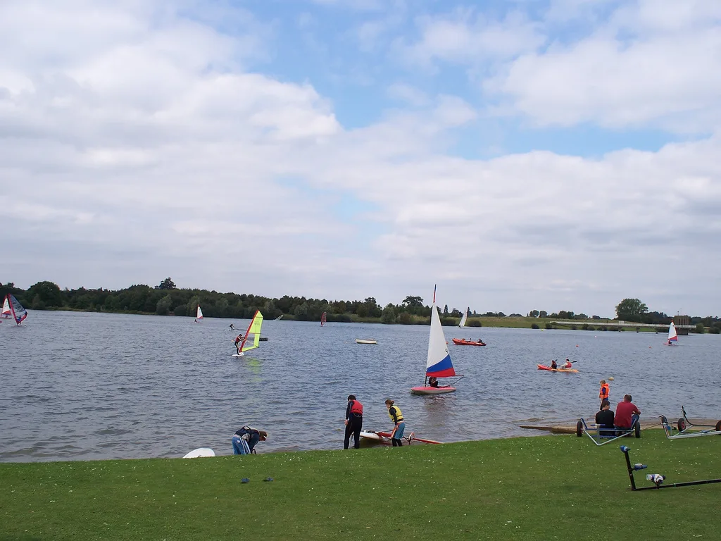
Salhouse Broad
Salhouse Broad — lake in the United Kingdom.

Wikimedia Commons contributors — see linked file page for photographer and licence licence
Plan your visit
- Typical visit
- 1 h–2 h
- Nearest railway station
- Salhouse · 3.0 km
- Free entry
- Dog-friendly
About
Salhouse Broad is a named natural landmark in the United Kingdom. Wikidata describes it as: "lake in the United Kingdom". Coordinates: 52.6894°, 1.4294°.
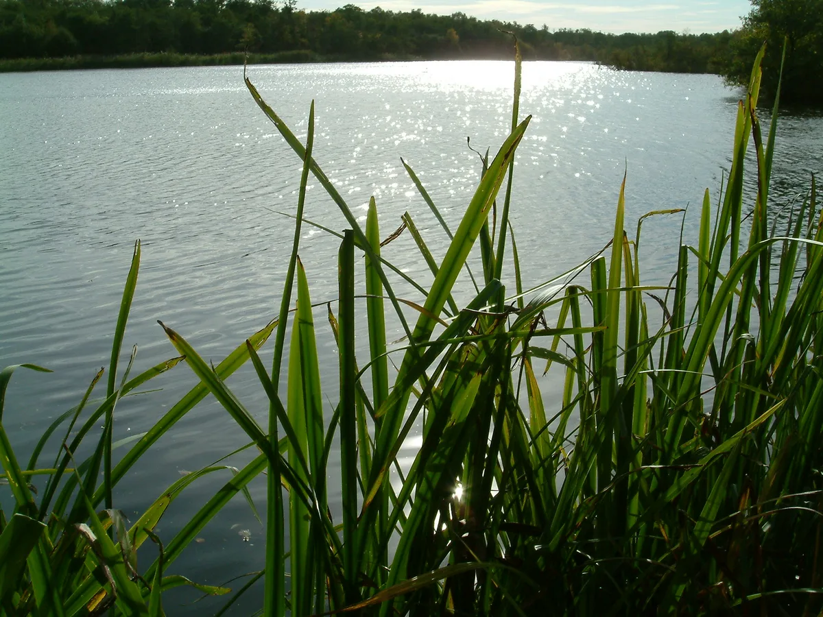
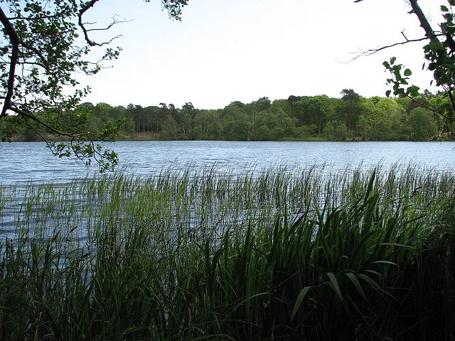
Photo gallery
Protected designations
- Site of Special Scientific Interest: Bure Broads and Marshes SSSI
- National Nature Reserve: BURE MARSHES
Designations sourced from Natural England open data under OGL v3.
From the Wikipedia article
Salhouse Broad, one of the Norfolk Broads, is situated on the River Bure in The Broads in Norfolk, England. The broad is situated just off the river and attracts little through traffic. It lies south of Hoveton Great Broad and approximately half a mile north of the village of Salhouse. Salhouse Broad is accessible from the landward side and moorings are also permitted to fee-paying boat visitors. It is privately owned and managed in conjunction with the community of Salhouse. The broad covers an area of 32 acres (130,000 m2) and is home to many forms of wildlife including the Norfolk hawker dragonfly and the swallowtail butterfly. Black swans have been recorded on this broad. Salhouse Broad is unusual in being the result of the flooding of tenth century sand and gravel diggings, not of peat diggings like most of the broads.
Excerpt from Wikipedia under CC BY-SA 4.0. See the source article linked in Sources below.
- Coordinates
- 52.6894, 1.4294
- County
- Norfolk
- District
- Broadland
- Parish
- Salhouse
- Postcode
- NR13 6HE
- Parliamentary constituency
- Broadland and Fakenham
- Nearest railway station
- Salhouse — 3 km
Sources
- wikidata: Q7329757 (CC0)
- wikipedia: Salhouse Broad (CC BY-SA 4.0)
- commons: SalhouseBroad1.jpg (CC BY-SA 4.0)
Other places nearby
Loading nearby places…
Nearby
Campsites · East of England
Camping Corner
Camping Corner — a campsite in england east.
 📷 3
📷 3Breweries · East of England
Woodforde's Brewery
Woodforde's Brewery is a brewery in the United Kingdom.
 📷 3
📷 3Museums · East of England
Woodbastwick Forge
Woodbastwick Forge — a museum in england-east, United Kingdom.
Campsites · East of England
Decoy Broad Campsite
Decoy Broad Campsite — a campsite in england east.
 📷 3
📷 3Public art & sculpture · East of England
Woodbastwick Village Sign
Woodbastwick Village Sign — a public art in england-east, United Kingdom.
 📷 3
📷 3Memorials & monuments · East of England
Salhouse War Memorial
Salhouse War Memorial — Grade II listed building-listed memorial in england-east, United Kingdom.
More natural landmarks in this region
 📷 3
📷 3Natural landmarks · East of England
Alton Water
Alton Water — lake in the United Kingdom.
 📷 4
📷 4Natural landmarks · East of England
Cockshoot Broad
Cockshoot Broad — lake in the United Kingdom.
 📷 3
📷 3Natural landmarks · East of England
Filby Broad
Filby Broad — lake in Norfolk, England, UK.
 📷 3
📷 3Natural landmarks · East of England
Fritton Lake
Fritton Lake — lake in Norfolk, England.
Frequently asked questions
- Where is Salhouse Broad?
- Salhouse Broad is in Norfolk, East of England, United Kingdom (postcode NR13 6HE), in the parish of Salhouse.
- Is Salhouse Broad a protected site?
- Yes — Salhouse Broad is part of the Bure Broads and Marshes SSSI Site of Special Scientific Interest and the BURE MARSHES National Nature Reserve.
- Is Salhouse Broad free to visit?
- Yes, Salhouse Broad is free to enter.
- How do I get to Salhouse Broad?
- The nearest railway station is Salhouse, about 3.0 km away. Drivers can navigate to postcode NR13 6HE.