Towns & cities · East Midlands
Horning
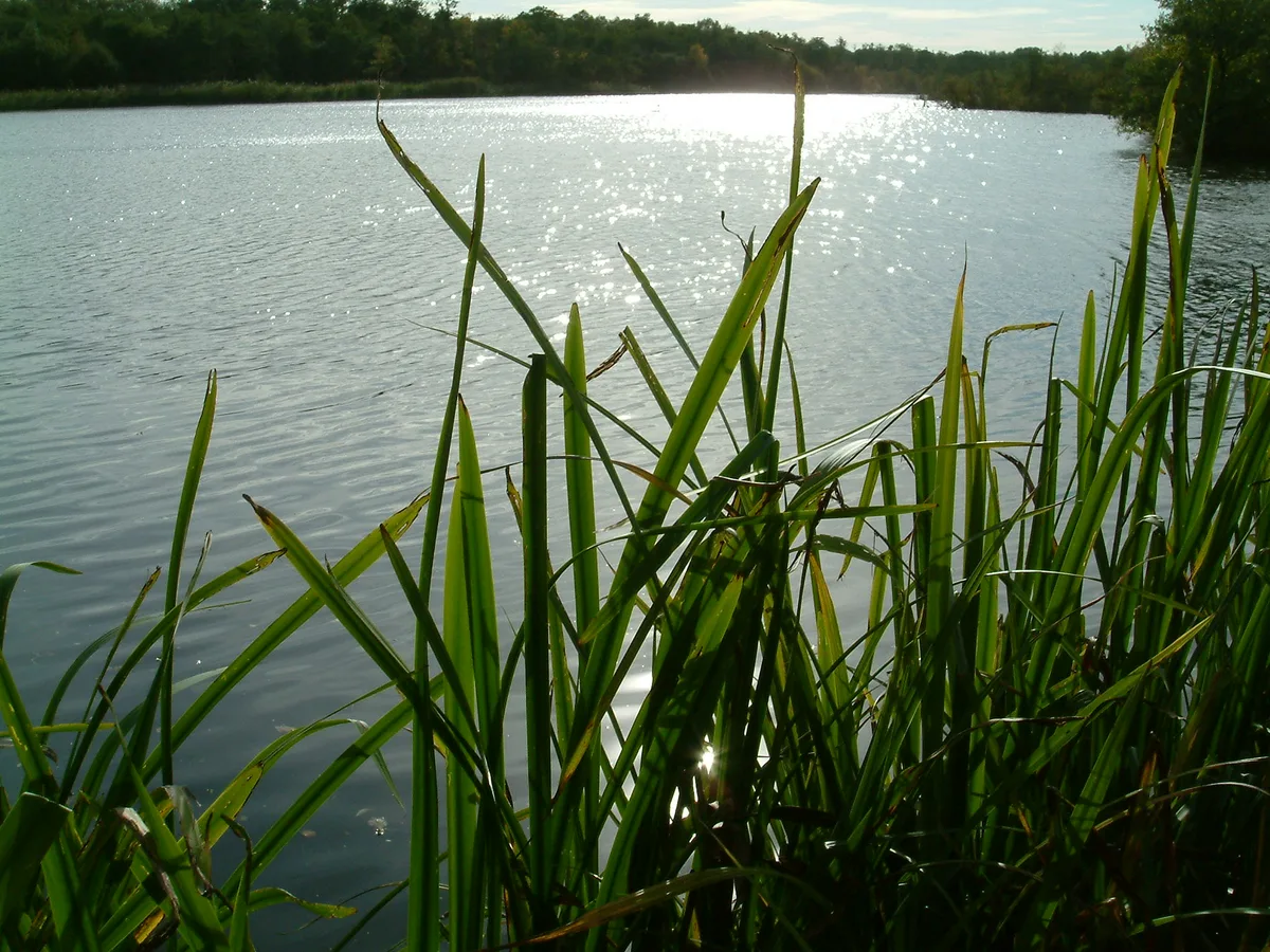
Horning — village and civil parish in Norfolk, England.

Wikimedia Commons contributors — see linked file page for photographer and licence licence
Plan your visit
- Typical visit
- 3 h–6 h
- Nearest railway station
- Hoveton and Wroxham · 4.3 km
- Free entry
- Family-friendly
- Dog-friendly
About
Horning is a town, city, village or settlement in the United Kingdom. It covers approximately 11 km². Recent population estimates put it at around 1,033 people. Address: NR. Wikidata describes it as: "village and civil parish in Norfolk, England". Coordinates: 52.7000°, 1.4670°.
Photo gallery
Protected designations
- Site of Special Scientific Interest: Bure Broads and Marshes SSSI
- National Nature Reserve: BURE MARSHES
- Ramsar wetland: Broadland
Designations sourced from Natural England open data under OGL v3.
From the Wikipedia article
Horning is an ancient village and parish in the English county of Norfolk. It covers an area of 11 km2 and had a population of approximately 1,100 in the 2021 census. Horning parish lies on the northern bank of the River Bure south of the River Thurne and is located in The Broads National Park. For the purposes of local government, it falls within the district of North Norfolk, although areas alongside the rivers and broads fall into the executive area of the Broads Authority.
Excerpt from Wikipedia under CC BY-SA 4.0. See the source article linked in Sources below.
Background
History
The name Horning means the "folk who live on the high ground between the rivers". Its history dates back to 1020, when the manor was given by King Canute to the newly founded Abbey of St. Benet at Hulme. The Bishop of Norwich, as Abbot of St. Benets, is still Lord of the Manor. Horning Parish extends along the south bank of the River Bure to Thurne Mouth, and includes the ruins of St Benet's Abbey & St. James Hospital. St. Benet's Abbey is a Grade I listed building, and dates back to the 9th century. The importance of the Abbey as a medieval place of pilgrimage is reflected in the medieval finds of two papal seals, that would have secured documents from the Pope. It was also the site of the…
Sourced from Wikipedia under CC BY-SA 4.0.
- Coordinates
- 52.7000, 1.4670
- County
- Norfolk
- District
- North Norfolk
- Parish
- Horning
- Postcode
- NR
- Parliamentary constituency
- North Norfolk
- Population
- 1,033
- Nearest railway station
- Hoveton and Wroxham — 4.3 km
Sources
- wikidata: Q957808 (CC0)
- wikipedia: Horning (CC BY-SA 4.0)
- commons: Post Office and shop fronts on Lower Street - geograph.org.uk - 904122.jpg (CC BY-SA 4.0)
Other places nearby
Loading nearby places…
Nearby
 📷 4
📷 4Natural landmarks · East of England
Cockshoot Broad
Cockshoot Broad — lake in the United Kingdom.
 📷 4
📷 4Windmills · East of England
Hobb's Mill
Hobb's Mill — Grade II* listed building-listed windmill in england-east, United Kingdom.
 📷 3
📷 3Public art & sculpture · East Midlands
Horning Village Sign
Horning Village Sign — a public art in england-east-midlands, United Kingdom.
 📷 3
📷 3Memorials & monuments · East of England
Horning War Memorial
Horning War Memorial — Grade II listed building-listed memorial in england-east, United Kingdom.
 📷 3
📷 3Museums · East Midlands
RAF Air Defence Radar Museum
RAF Air Defence Radar Museum — a museum in england-east-midlands, United Kingdom.
Campsites · East of England
Decoy Broad Campsite
Decoy Broad Campsite — a campsite in england east.
More towns in this region
 Flagship📷 3
Towns & cities · East Midlands
Aldborough
Aldborough — village in Norfolk, England, UK.
 Flagship📷 4
Towns & cities · East Midlands
Alderford
Alderford — village and civil parish in Norfolk, UK.
 Flagship📷 5
Towns & cities · East Midlands
Ashmanhaugh
Ashmanhaugh — village in Norfolk, England, UK.
 Flagship📷 3
Towns & cities · East Midlands
Attlebridge
Attlebridge — a village located in Broadland, United Kingdom.
Frequently asked questions
- Where is Horning?
- Horning is in Norfolk, the East Midlands, United Kingdom (postcode NR), in the parish of Horning.
- Is Horning a protected site?
- Yes — Horning is part of the Bure Broads and Marshes SSSI Site of Special Scientific Interest and the BURE MARSHES National Nature Reserve.
- Is Horning free to visit?
- Yes, Horning is free to enter.
- How do I get to Horning?
- The nearest railway station is Hoveton and Wroxham, about 4.3 km away. Drivers can navigate to postcode NR.