Natural landmarks · Yorkshire & the Humber
Saddleworth Moor
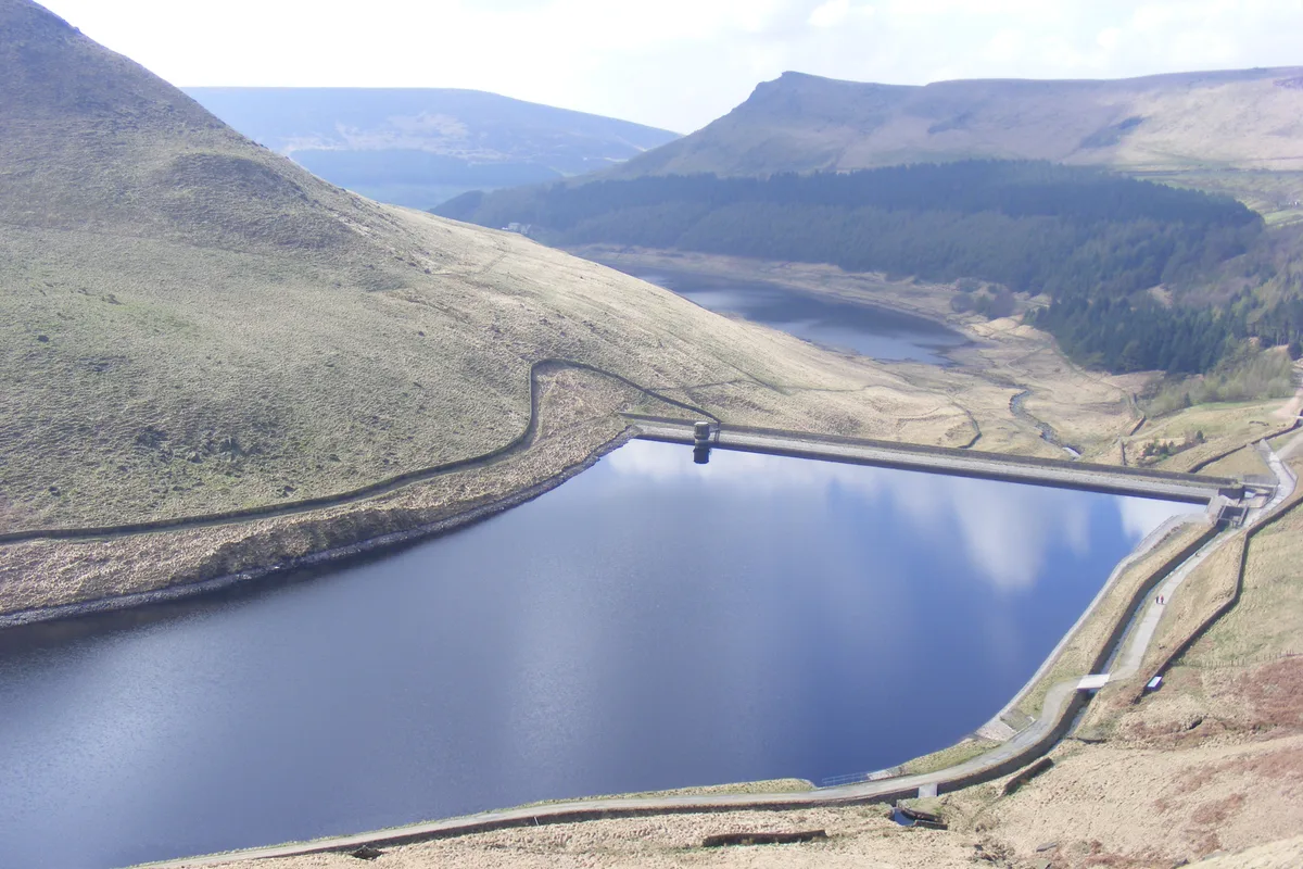
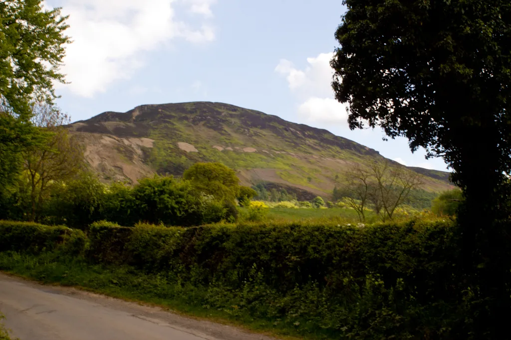
Saddleworth Moor — moorland in northwest England.

Wikimedia Commons contributors — see linked file page for photographer and licence licence
Plan your visit
- Typical visit
- 1 h–2 h
- Nearest railway station
- Greenfield · 3.9 km
- Free entry
- Dog-friendly
About
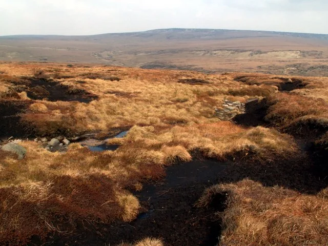
Saddleworth Moor is a named natural landmark in the United Kingdom. Part of South Pennines. Wikidata describes it as: "moorland in northwest England". Coordinates: 53.5433°, -1.9558°.
Photo gallery
Protected designations
- Site of Special Scientific Interest: Dark Peak SSSI
Designations sourced from Natural England open data under OGL v3.
From the Wikipedia article
Saddleworth Moor is a moorland in North West England. Reaching more than 1,312 feet (400 m) above sea level, it is in the Dark Peak area of the Peak District National Park. It is crossed by the A635 road and the Pennine Way passes to its eastern side.
Excerpt from Wikipedia under CC BY-SA 4.0. See the source article linked in Sources below.
- Coordinates
- 53.5433, -1.9558
- District
- Oldham
- Parish
- Saddleworth
- Postcode
- OL3 7NW
- Parliamentary constituency
- Oldham East and Saddleworth
- Nearest railway station
- Greenfield — 3.9 km
Sources
- wikidata: Q1640131 (CC0)
- wikipedia: Saddleworth Moor (CC BY-SA 4.0)
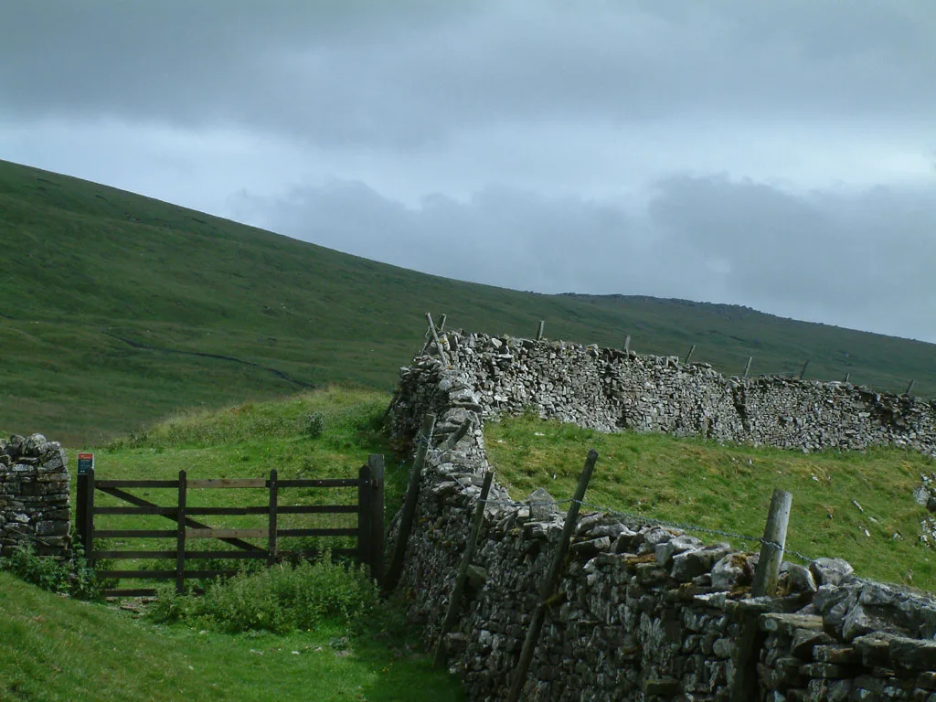
- commons: Yeoman hey and dovestones from hollin brown knoll.jpg (CC BY-SA 4.0)
Other places nearby
Loading nearby places…
Nearby
 📷 3
📷 3Reservoirs & lochs · Yorkshire & the Humber
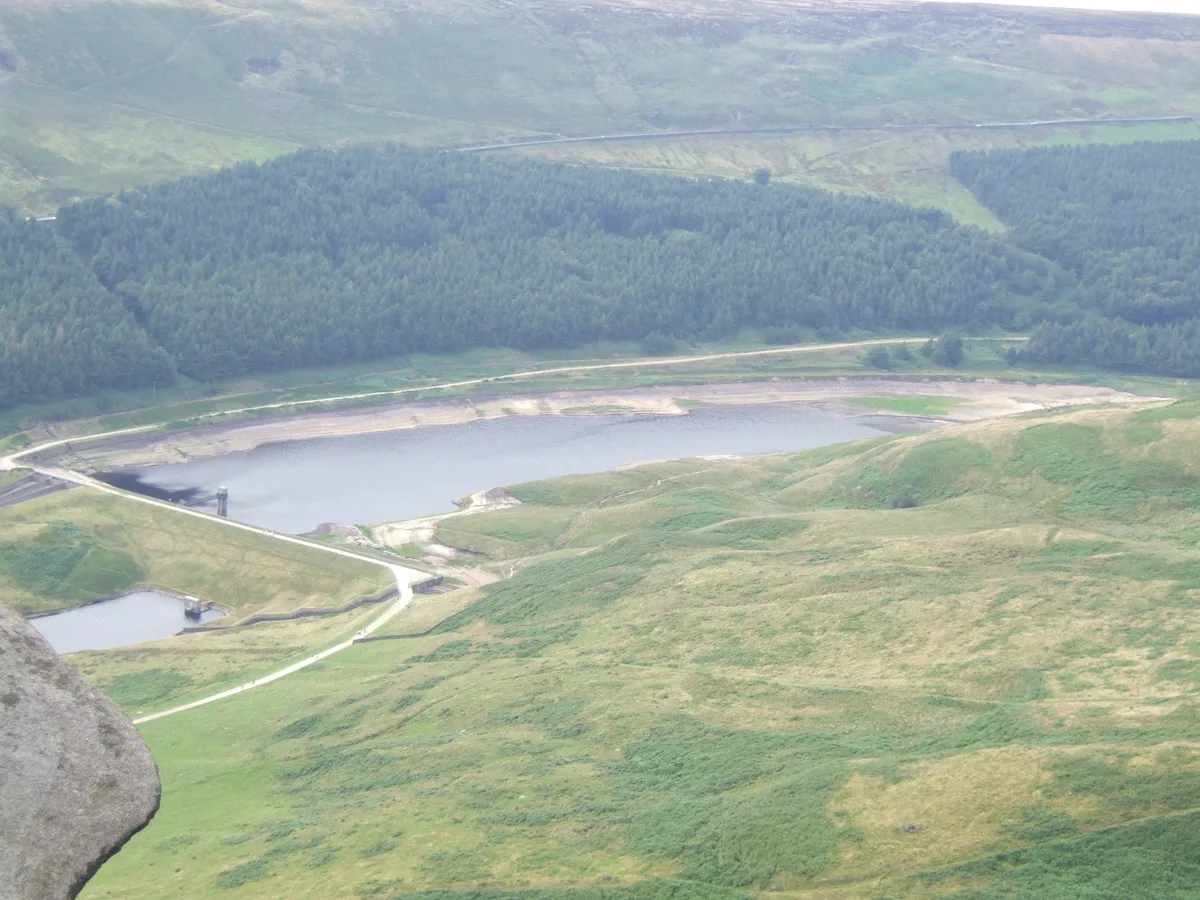
Greenfield Reservoir
Greenfield Reservoir — reservoir in Greater Manchester, England, UK.
 📷 3
📷 3Memorials & monuments · Yorkshire & the Humber
Memorial Cross for James Platt
Memorial Cross for James Platt — a memorial in england-yorkshire, United Kingdom.
 📷 3
📷 3Reservoirs & lochs · Yorkshire & the Humber
Yeoman Hey Reservoir
Yeoman Hey Reservoir — reservoir in Greater Manchester, England, UK.
 📷 3
📷 3Historic houses · Yorkshire & the Humber
Rimmon Cottage
Rimmon Cottage — a historic house in england-yorkshire, United Kingdom.
 📷 3
📷 3Reservoirs & lochs · Yorkshire & the Humber
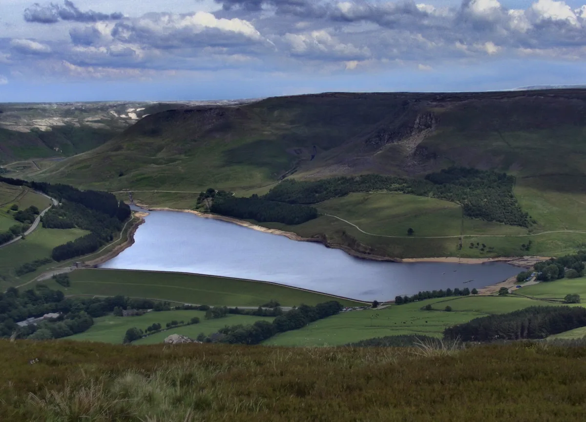
Dovestone Reservoir
Dovestone Reservoir — reservoir in Greater Manchester, England, UK.
 📷 3
📷 3Memorials & monuments · Yorkshire & the Humber
Saddleworth War Memorial
Saddleworth War Memorial — Grade II listed building-listed memorial in england-yorkshire, United Kingdom.
More natural landmarks in this region
 📷 3
📷 3Natural landmarks · Yorkshire & the Humber
Black Chew Head
Black Chew Head — Hill in the United Kingdom.
 📷 5
📷 5Natural landmarks · Yorkshire & the Humber
Carlton Bank
Carlton Bank — hill in the United Kingdom.
 📷 3
📷 3Natural landmarks · Yorkshire & the Humber
Great Whernside
Great Whernside — mountain in United Kingdom.
 📷 3
📷 3Natural landmarks · Yorkshire & the Humber
Highfields Lake
Highfields Lake — lake in the United Kingdom.
Frequently asked questions
- Where is Saddleworth Moor?
- Saddleworth Moor is in Yorkshire, United Kingdom (postcode OL3 7NW), in the parish of Saddleworth.
- Is Saddleworth Moor a protected site?
- Yes — Saddleworth Moor is part of the Dark Peak SSSI Site of Special Scientific Interest.
- Is Saddleworth Moor free to visit?
- Yes, Saddleworth Moor is free to enter.
- How do I get to Saddleworth Moor?
- The nearest railway station is Greenfield, about 3.9 km away. Drivers can navigate to postcode OL3 7NW.