Castles · Mid Wales
Rushbury
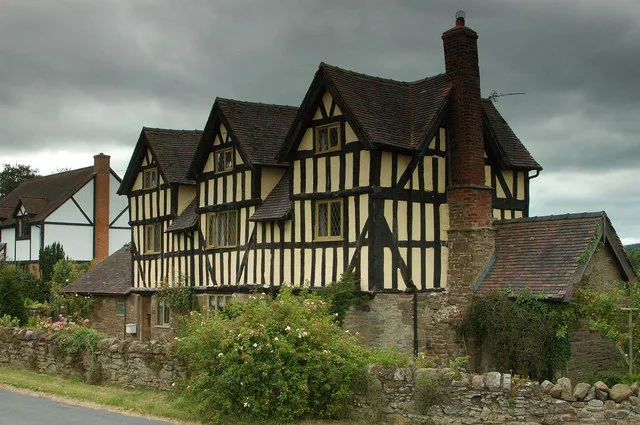
Rushbury is a village and civil parish in Shropshire, roughly five miles from Church Stretton and eight miles from Much Wenlock. Nearby villages include Cardington, Longville in the Dale, Ticklerton a

Ian S — CC BY-SA 2.0 via Wikimedia Commons licence
Plan your visit
- Typical visit
- 1.5 h–3 h
- Family-friendly
- Limited wheelchair access
About
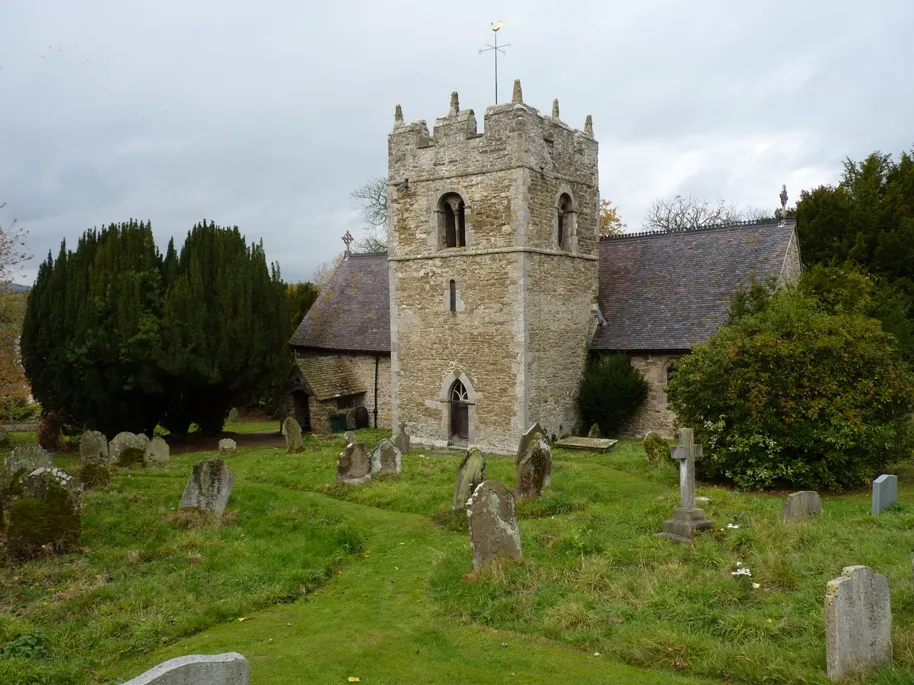
Rushbury is a village and civil parish in Shropshire, roughly five miles from Church Stretton and eight miles from Much Wenlock. Nearby villages include Cardington, Longville in the Dale, Ticklerton and Wall under Haywood. Longville and Wall lie within Rushbury parish. Rushbury is a quiet rural community, with a Church of England church and primary school.
Photo gallery
From the Wikipedia article
Rushbury is a village and civil parish in Shropshire, roughly five miles from Church Stretton and eight miles from Much Wenlock. Nearby villages include Cardington, Longville in the Dale, Ticklerton and Wall under Haywood. Longville and Wall lie within Rushbury parish. Rushbury is a quiet rural community, with a Church of England church and primary school.
Excerpt from Wikipedia under CC BY-SA 4.0. See the source article linked in Sources below.
Background
History
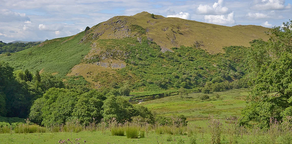
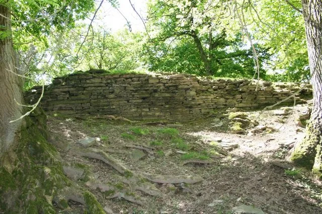
The name Rushbury is thought to derive from Rush Manor, but other evidence suggests that it could originate from the Old English 'risc', literally meaning 'a place where rushes grow', and the Old English word 'burh', meaning a 'fortified place'; putting the two together gives 'Rush Fortification'. Human activity has been present since Neolithic times and there was once an Iron Age hill fort. The area of Rushbury Civil Parish (CP) has changed throughout history. According to the 1831 census it was 5,620 acres, before decreasing to 4,132 acres by the 1851 census and then increasing to 6,304 by 1891, where it has remained ever since. Rushbury CP now includes the settlements of East Wall,…
Sourced from Wikipedia under CC BY-SA 4.0.
- Coordinates
- 52.5220, -2.7190
- District
- Shropshire
- Parish
- Rushbury
- Postcode
- SY6 7EB
- Parliamentary constituency
- South Shropshire
- Official site
- www.neighbourhood.statistics.gov.uk
Sources
- wikipedia: Rushbury (CC BY-SA 4.0)
Other places nearby
Loading nearby places…
Nearby
 Flagship📷 3
Stately homes · Mid Wales
Rushbury Manor
Rushbury Manor — manor house in Rushbury, Shropshire, England, UK.
 📷 3
📷 3Historic churches · Mid Wales
Packhorse bridge S of St Peter's Church
Packhorse bridge S of St Peter's Church — a Grade II*-listed church in wales-mid, United Kingdom.
 📷 3
📷 3Historic bridges · Mid Wales
Heath Bridge
Heath Bridge — Grade II listed building-listed bridge in wales-mid, United Kingdom.
 📷 3
📷 3Cemeteries · Mid Wales
South Shropshire Park of Remembrance
South Shropshire Park of Remembrance is a cemetery in the United Kingdom.
 📷 3
📷 3Historic churches · Mid Wales
St Edith's Church, Eaton-under-Heywood
St Edith's Church, Eaton-under-Heywood — church in Eaton-under-Heywood, Shropshire, England, UK.
 Flagship📷 3
Stately homes · Mid Wales
Eaton Manor
Eaton Manor — manor house in Eaton-under-Heywood, Shropshire, England, UK.
More castles in this region
 📷 3
📷 3Castles · Mid Wales
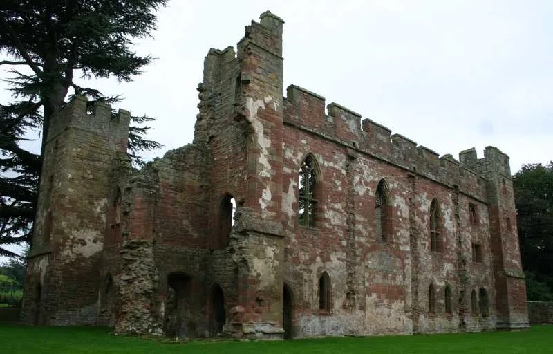
Acton Burnell Castle
Acton Burnell Castle — Grade I listed castle in Shropshire, England, UK.
 📷 3
📷 3Castles · Mid Wales
Cefnllys Castle
Cefnllys Castle — medieval castle in Powys, Wales, UK.
 📷 3
📷 3Castles · Mid Wales
Aberdyfi Castle
Aberdyfi Castle — ruined castle in Ceredigion, Wales, UK.
 📷 3
📷 3Castles · Mid Wales
Aberedw Castle
Aberedw Castle — scheduled monument in Wales.
Frequently asked questions
- Where is Rushbury?
- Rushbury is in Mid Wales, United Kingdom (postcode SY6 7EB), in the parish of Rushbury.
- Does Rushbury charge admission?
- Rushbury typically charges admission. Check the official site for current ticket prices and opening hours.
- How do I get to Rushbury?
- Drivers can navigate to postcode SY6 7EB. It sits within the South Shropshire parliamentary constituency.