Towns & cities · North Wales
Ruabon
Also known as: Rhiwabon
Ruabon — village and community in the county borough of Wrexham, Wales, UK.

Wikimedia Commons contributors — see linked file page for photographer and licence licence
Plan your visit
- Typical visit
- 3 h–6 h
- Nearest railway station
- Ruabon · 0.2 km
- Free entry
- Family-friendly
- Dog-friendly
About
Ruabon is a town, city, village or settlement in the United Kingdom. Recent population estimates put it at around 4,352 people. Address: LL14. Wikidata describes it as: "village and community in the county borough of Wrexham, Wales, UK". Coordinates: 52.9870°, -3.0397°.
Photo gallery
Protected designations
- Site of Special Scientific Interest: River Dee (England) SSSI
Designations sourced from Natural England open data under OGL v3.
From the Wikipedia article
Ruabon (Welsh: Rhiwabon; pronounced [r̥ɪʊˈɑːbɔn]) is a village and community in Wrexham County Borough, Wales. The name comes from Rhiw Fabon, rhiw being the Welsh word for "slope" or "hillside" and Fabon being a mutation from St Mabon, the original church name, of earlier, Celtic origin. An older English spelling, Rhuabon, can sometimes be seen. From the mid-19th century, Ruabon became famous across the UK, for its red bricks and terracotta, which earnt the village the nickname "Terracottapolis". The local discovery of high-quality Etruria marl clay led to the rise of the Dennis Ruabon Tile Factory, whose durable and richly coloured products were used nationwide. The tiles were used in landmark projects such as Cardiff's Pier Head and Liverpool University's Victoria Building. In 2001, more than 80% of the population of 2,400 were born in Wales, with 13.6% having some ability in Welsh.
Excerpt from Wikipedia under CC BY-SA 4.0. See the source article linked in Sources below.
Background
History
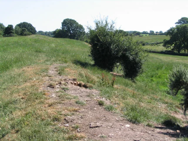
There is evidence that a settlement existed in Ruabon in the Bronze Age. In 1898, building works in the centre of Ruabon exposed a cist or stone urn containing cremated human remains dating from 2000 years BC. In 1917, the remains of a Bronze Age round barrow were discovered on the playing fields of Ruabon Grammar School; they contained human remains, a flint arrowhead and a bronze axe. Overlooking Ruabon, the Gardden () is an ancient hillfort surrounded by circular ditches, dating back to the Iron Age.
Description
The ancient parish of Ruabon was made up of the townships of Ruabon (which also included the hamlets of Belan, Bodylltyn, Hafod and Rhuddallt), Cristionydd Cynrig (also known as Y Dref Fawr or Cristionydd Kenrick in English), Coed Cristionydd, Cristionydd Fechan (also known as Y Dref Fechan or Dynhinlle Uchaf), Dinhinlle Isaf; Morton Anglicorum (the “English Morton” or Morton Below the Dyke) and Morton Wallichorum (the “Welsh Morton” or Morton Above the Dyke). In 1844, Coed Cristionydd and part of Cristionydd Cynrig became part of the new parish of Rhosymedre, and Cristionydd Fechan and Moreton Above became part of the new parish of Rhosllannerchrugog. Later in 1879, Dynhinlle Uchaf and the…
Sourced from Wikipedia under CC BY-SA 4.0.
- Coordinates
- 52.9870, -3.0397
- District
- Wrexham
- Parish
- Ruabon
- Postcode
- LL14
- Parliamentary constituency
- Montgomeryshire and Glyndwr
- Population
- 4,352
- Nearest railway station
- Ruabon — 0.2 km
- Official site
- www.ruabon.com
Sources
- wikidata: Q1770481 (CC0)
- wikipedia: Ruabon (CC BY-SA 4.0)
- commons: Wynnstay - the seat of Sir W. W. Wynne, bart., Denbighshire.jpeg (CC BY-SA 4.0)
Other places nearby
Loading nearby places…
Nearby
Hotels · North Wales
Wynnstay Arms
Wynnstay Arms — a hotel in wales north.
B&Bs · North Wales
The Vaults
The Vaults — a bed-and-breakfast in wales north.
 📷 4
📷 4Heritage railway stations · North Wales
Ruabon railway station
Ruabon railway station — a Grade II*-listed railway station in wales-north, United Kingdom.
 📷 5
📷 5Hill forts · North Wales
Wat's Dyke
Wat's Dyke — linear earthwork in Wales and England.
Vineyards · North Wales
Y Gardden, Ruabon
Y Gardden, Ruabon — a UK vineyard in wales north, producing English or Welsh wine from cool-climate grape varieties.
 📷 3
📷 3Manor houses · North Wales
Wynnstay Hall
Wynnstay Hall — a manor in wales-north, United Kingdom.
More towns in this region
 📷 5
📷 5Towns & cities · North Wales
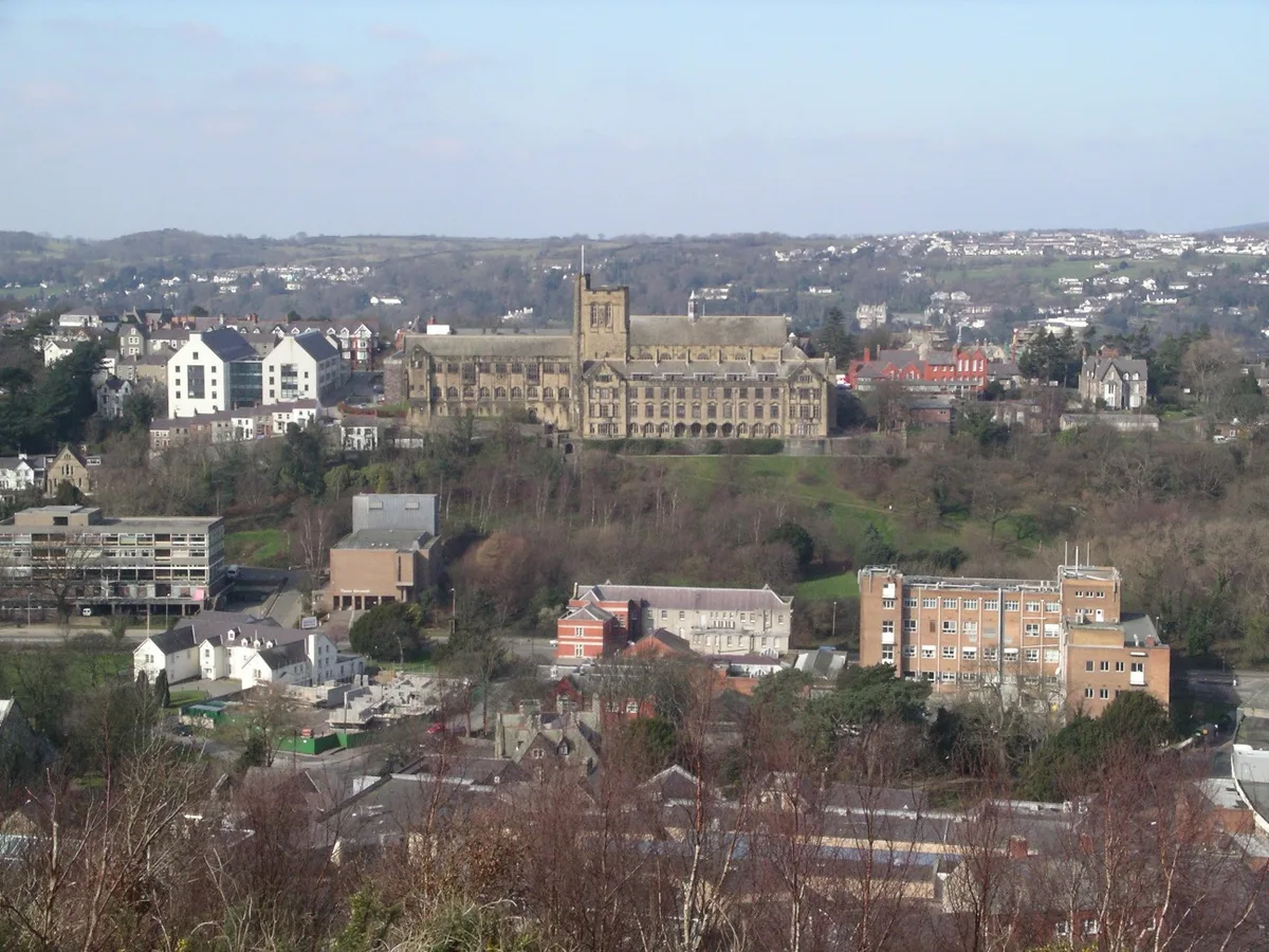
Bangor
Bangor — city in Gwynedd, Wales.
 Flagship📷 3
Towns & cities · North Wales
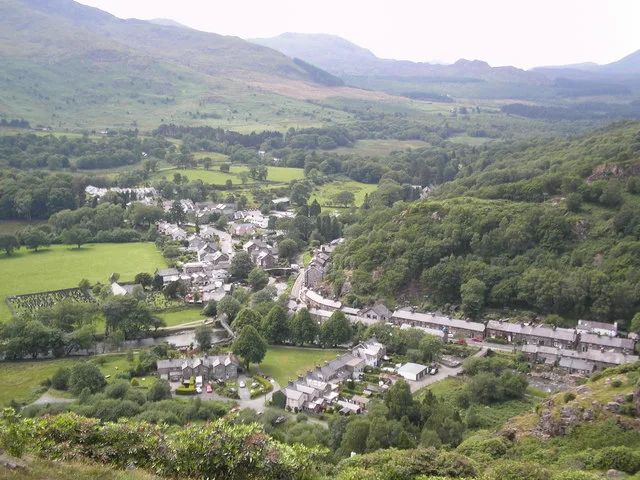
Beddgelert
Beddgelert — village and community in Gwynedd, Wales.
 Flagship📷 5
Towns & cities · North Wales
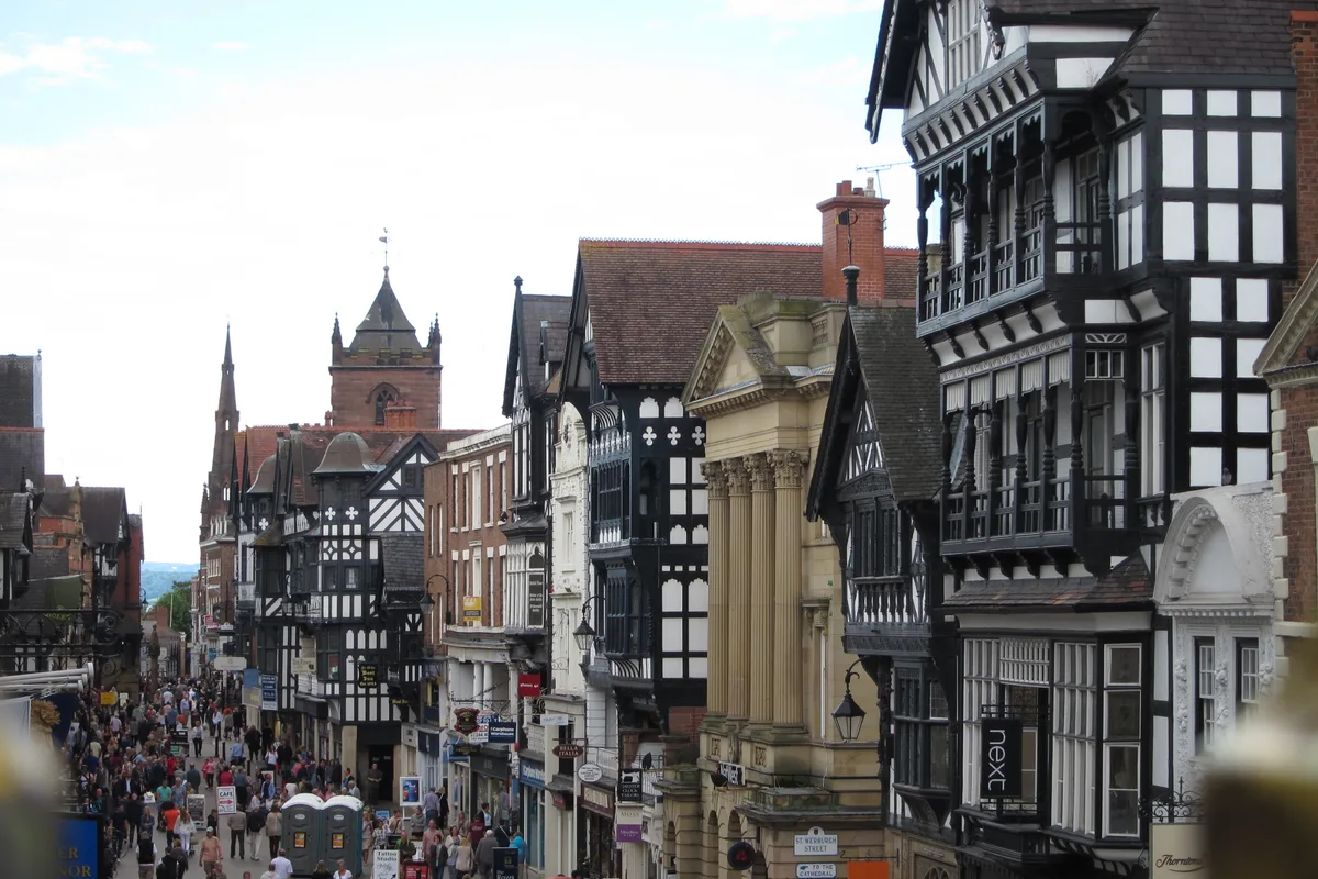
Chester
Chester — city in Cheshire, England.
 Flagship📷 3
Towns & cities · North Wales
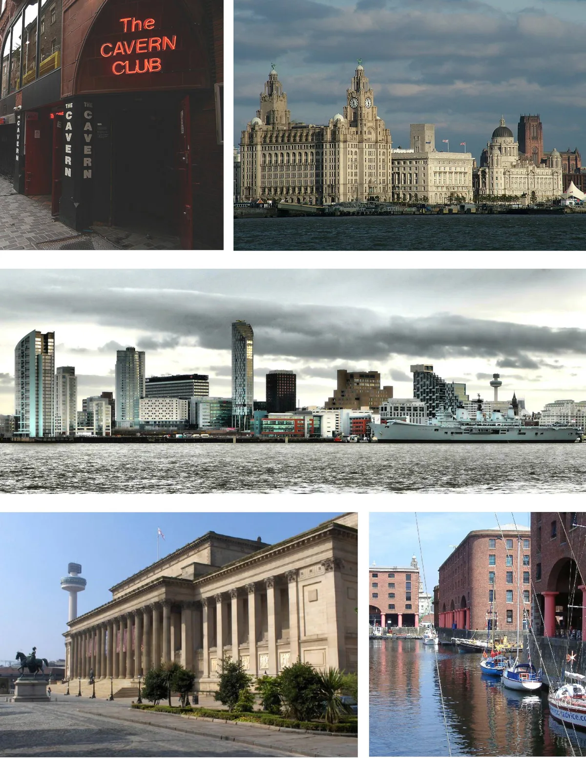
Liverpool
Liverpool — city in Merseyside, England, United Kingdom.
Frequently asked questions
- Where is Ruabon?
- Ruabon is in North Wales, United Kingdom (postcode LL14), in the parish of Ruabon.
- Is Ruabon a protected site?
- Yes — Ruabon is part of the River Dee (England) SSSI Site of Special Scientific Interest.
- Is Ruabon free to visit?
- Yes, Ruabon is free to enter.
- How do I get to Ruabon?
- The nearest railway station is Ruabon, about 0.2 km away. Drivers can navigate to postcode LL14.