Wildlife reserves · West Midlands
Rixton Clay Pits
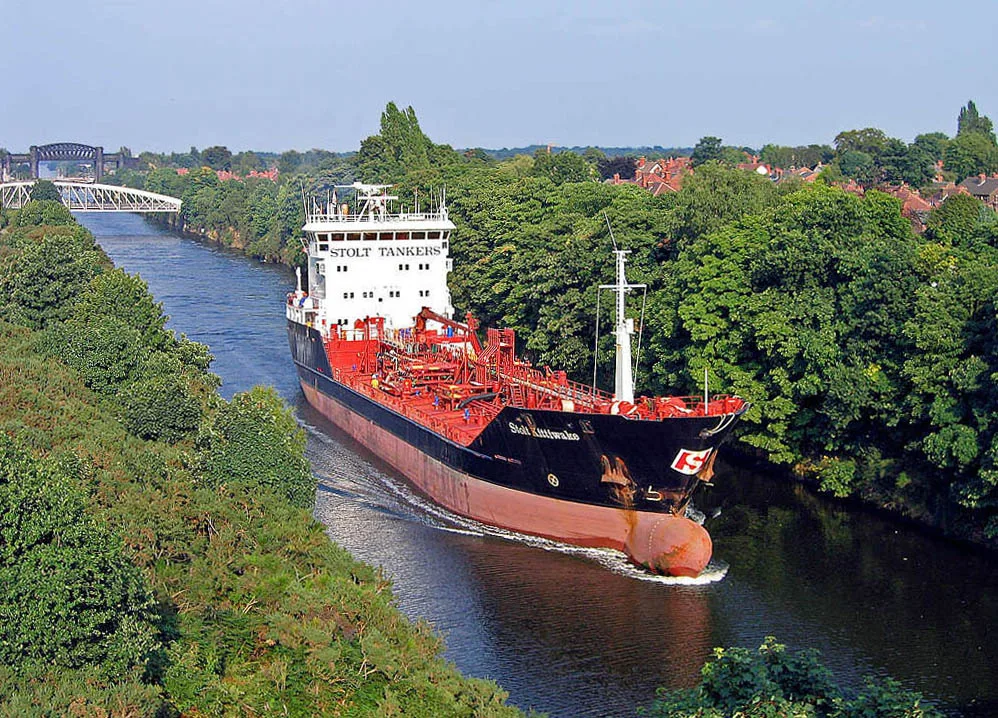
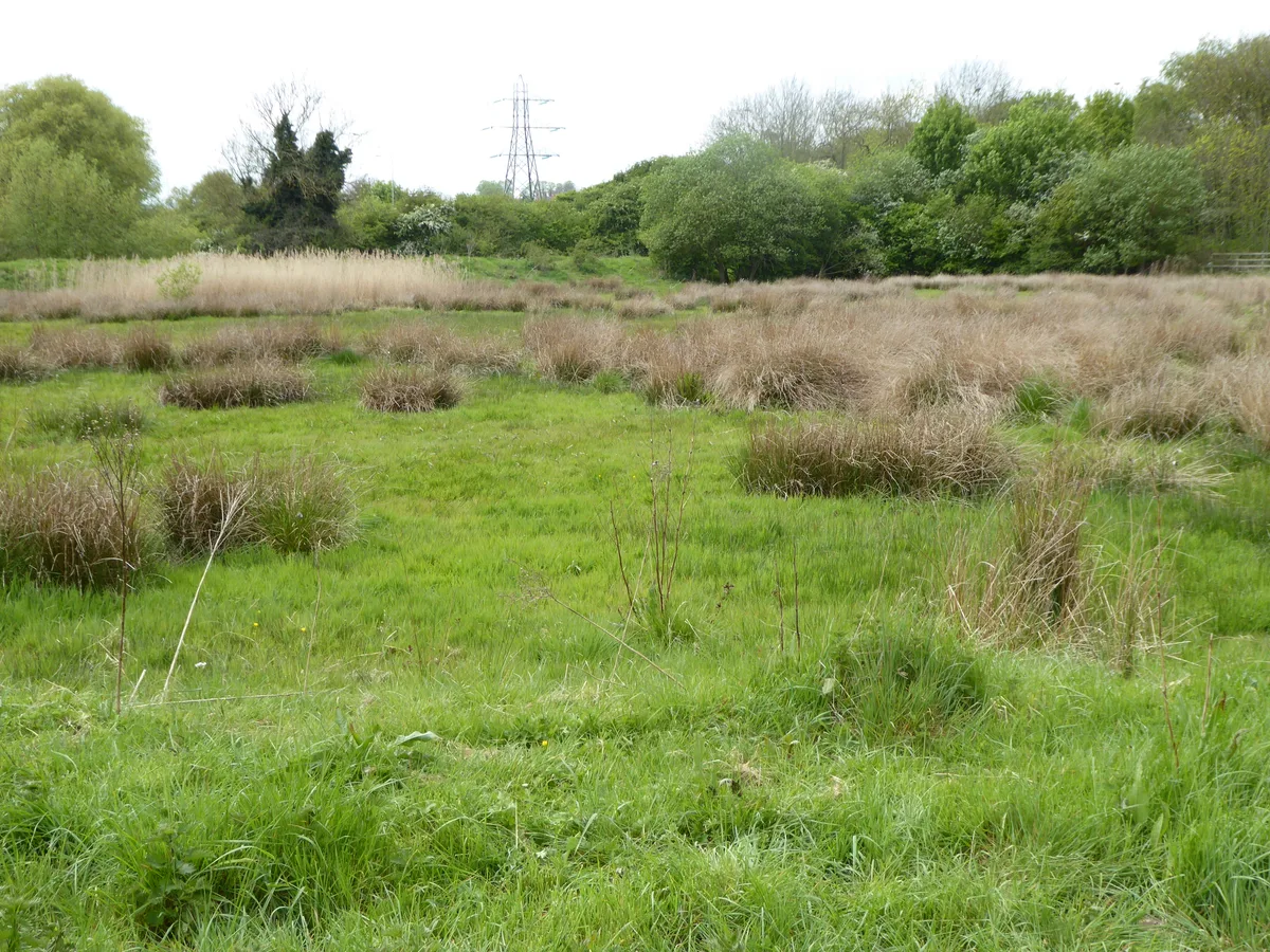
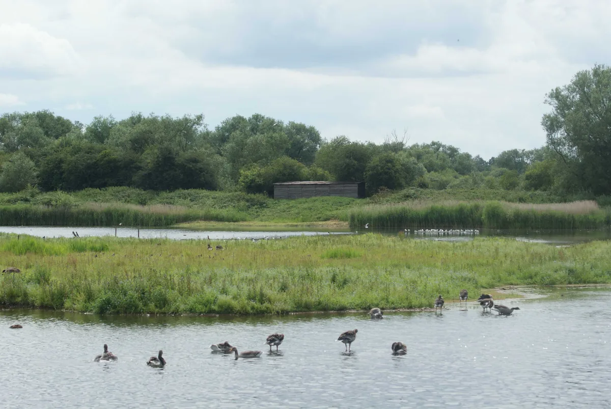
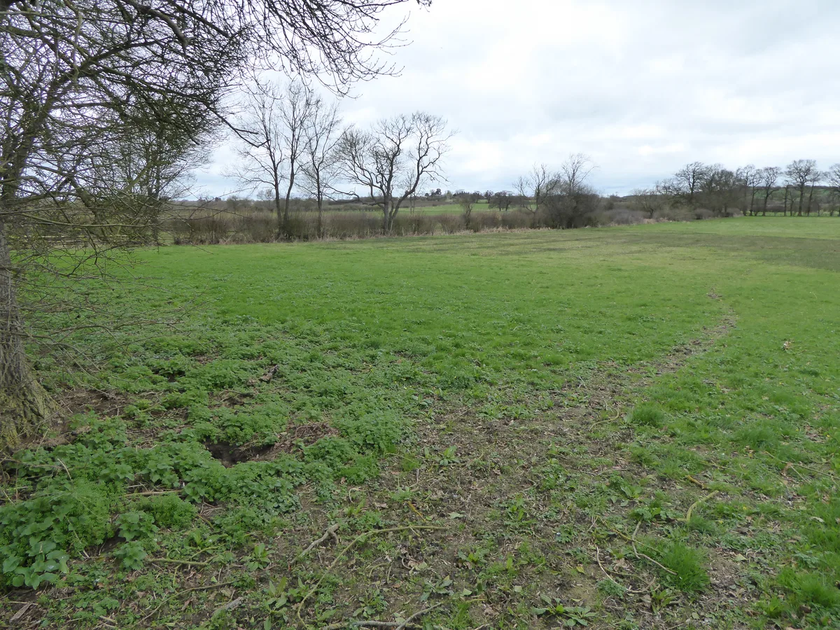
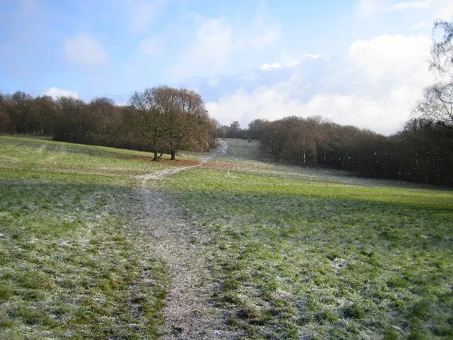
Rixton Clay Pits — former clay extraction site in Rixton, England.

Wikimedia Commons contributors — see linked file page for photographer and licence licence
Plan your visit
- Typical visit
- 2 h–4 h
- Best time of year
- Autumn & winter (migration & wildfowl)
- Nearest railway station
- Glazebrook · 2.4 km
- Free entry
- Dog-friendly
About
Rixton Clay Pits is a wildlife reserve in the United Kingdom. Heritage designation: Site of Special Scientific Interest. Wikidata describes it as: "former clay extraction site in Rixton, England". Coordinates: 53.4090°, -2.4750°.
Photo gallery
Protected designations
- Site of Special Scientific Interest: Rixton Clay Pits SSSI
Designations sourced from Natural England open data under OGL v3.
From the Wikipedia article
Rixton Clay Pits (also known as Rixton Claypits) is a former clay extraction site in Rixton, near Hollins Green, Warrington, England. Formerly farmland, boulder clay extraction started in the 1920s for brick making in the adjacent brickworks and ceased in 1965 – since then it has been allowed to return to nature. It is now an area of ponds, scrub, woodland and damp grassland. It is owned and managed by Warrington Borough Council as a local amenity. Two large sections of Rixton Clay Pits, 15 hectares (37 acres) in total, are a Site of Special Scientific Interest (SSSI) and a designated Special Area of Conservation, on account of its calcareous grassland communities and because it supports the largest breeding population of Great Crested Newts in Cheshire. The whole was established as a local nature reserve in 1996, and has waymarked paths and a visitor centre. Fishing is permitted on the lake between the two sections of SSSI, and is controlled by the Warrington Anglers Association, the main stock being tench, bream and roach. Carp and pike are also present.
Excerpt from Wikipedia under CC BY-SA 4.0. See the source article linked in Sources below.
- Coordinates
- 53.4090, -2.4750
- District
- Warrington
- Parish
- Rixton-with-Glazebrook
- Postcode
- WA3 6EE
- Parliamentary constituency
- Warrington North
- Nearest railway station
- Glazebrook — 2.4 km
- Opening
- always
- Official site
- www.streetmap.co.uk
Sources
- wikidata: Q7339018 (CC0)
- wikipedia: Rixton Clay Pits (CC BY-SA 4.0)
- commons: Rixton Clay Pits - geograph.org.uk - 1528337.jpg (CC BY-SA 4.0)
Other places nearby
Loading nearby places…
Nearby
 📷 5
📷 5Forests & woodlands · West Midlands
Rixton Claypits Local Nature Reserve
Rixton Claypits Local Nature Reserve is a forest or woodland in the United Kingdom.
Campsites · West Midlands
Holly Bank Caravan Park
Holly Bank Caravan Park — a campsite in england west midlands.
 📷 5
📷 5Parks · West Midlands
Hollins Green
Hollins Green is a Housing Estate on the eastern edge of Warrington, in the Warrington district, in the ceremonial county of Cheshire and formerly in the historic county of Lancashire, England. The vi
 📷 5
📷 5Canals · West Midlands
Manchester Ship Canal
Manchester Ship Canal — UK canal linking Manchester to the coast.
_Bridge_-_geograph.org.uk_-_4952661.jpg?width=1200) 📷 3
📷 3Historic bridges · West Midlands
Warburton High Level Bridge
Warburton High Level Bridge is a historic bridge in the United Kingdom.
 📷 3
📷 3Historic bridges · West Midlands
Rixton and Warburton Bridge
Rixton and Warburton Bridge is a historic bridge in the United Kingdom.
More places in this region
 Flagship📷 3
Wildlife reserves · West Midlands
Abington Meadows
Abington Meadows — nature reserve in the United Kingdom.
 📷 5
📷 5Wildlife reserves · West Midlands
Brandon Marsh
Brandon Marsh — nature reserve in the United Kingdom.
 📷 5
📷 5Wildlife reserves · West Midlands
Bugbrooke Meadows
Bugbrooke Meadows — nature reserve in the United Kingdom.
 📷 5
📷 5Wildlife reserves · West Midlands
Chorleywood Common
Chorleywood Common — nature reserve in Hertfordshire, England.
Frequently asked questions
- Where is Rixton Clay Pits?
- Rixton Clay Pits is in the West Midlands, United Kingdom (postcode WA3 6EE), in the parish of Rixton-with-Glazebrook.
- Who owns Rixton Clay Pits?
- Rixton Clay Pits is owned by Warrington Borough Council.
- Is Rixton Clay Pits a listed building?
- Rixton Clay Pits is officially recognised as Site of Special Scientific Interest listed.
- Is Rixton Clay Pits a protected site?
- Yes — Rixton Clay Pits is part of the Rixton Clay Pits SSSI Site of Special Scientific Interest.
- Is Rixton Clay Pits free to visit?
- Yes, Rixton Clay Pits is free to enter.
- How do I get to Rixton Clay Pits?
- The nearest railway station is Glazebrook, about 2.4 km away. Drivers can navigate to postcode WA3 6EE.