Archaeological sites · East Midlands
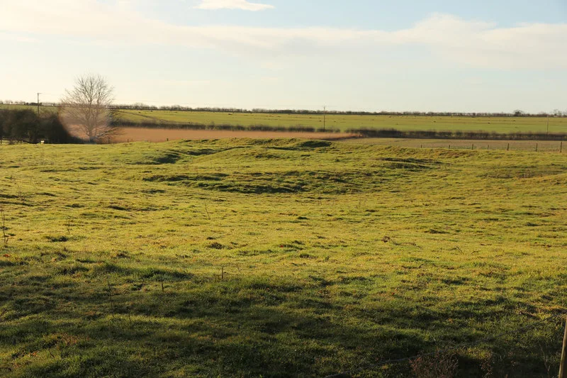
Ring Dam medieval fishpond
Ring Dam medieval fishpond — archaeological site in Ropsley and Humby, South Kesteven, England, UK.

Wikimedia Commons contributors — see linked file page for photographer and licence licence
Plan your visit
- Typical visit
- 45 min–1.5 h
- Nearest railway station
- Grantham · 8.4 km
- Free entry
- Dog-friendly
About
Ring Dam medieval fishpond is an archaeological site in the United Kingdom. Heritage designation: scheduled monument. Wikidata describes it as: "archaeological site in Ropsley and Humby, South Kesteven, England, UK". Coordinates: 52.8920°, -0.5196°.
Photo gallery
Place summary
Ring Dam medieval fishpond is an archaeological site located in the East Midlands. It is designated as a scheduled monument, reflecting its significance in understanding medieval fish farming practices.
AI-generated from the structured facts on this page (operator, designation, listing, era). Not a substitute for visiting.
- Coordinates
- 52.8920, -0.5196
- County
- Lincolnshire
- District
- South Kesteven
- Parish
- Ropsley and Humby
- Postcode
- NG33 4BD
- Parliamentary constituency
- Grantham and Bourne
- Nearest railway station
- Grantham — 8.4 km
Sources
- wikidata: Q17665813 (CC0)
- commons: The Ring Dam at Ropsley - geograph.org.uk - 155335.jpg (CC BY-SA 4.0)
Other places nearby
Loading nearby places…
Nearby
 📷 3
📷 3Historic churches · East Midlands
St Peter's Church, Ropsley
St Peter's Church, Ropsley — church in Ropsley, Lincolnshire, England, UK.
 📷 3
📷 3Chapels · East Midlands
Great Humby Chapel
Great Humby Chapel — chapel in Ropsley and Humby, Lincolnshire, England, UK.
 📷 5
📷 5Historic churches · East Midlands
Braceby and Sapperton
Braceby and Sapperton — a church in england-east-midlands, United Kingdom.
 📷 3
📷 3Towns & cities · East Midlands
Sapperton
Sapperton — village in Lincolnshire, United Kingdom.
Vineyards · East Midlands
The Round Hills earthwork
The Round Hills earthwork — a UK vineyard in england east midlands, producing English or Welsh wine from cool-climate grape varieties.
 📷 3
📷 3Archaeological sites · East Midlands
Ropsley Grange
Ropsley Grange — a archaeological in england-east-midlands, United Kingdom.
More archaeological sites in this region
 Flagship📷 5
Archaeological sites · East Midlands
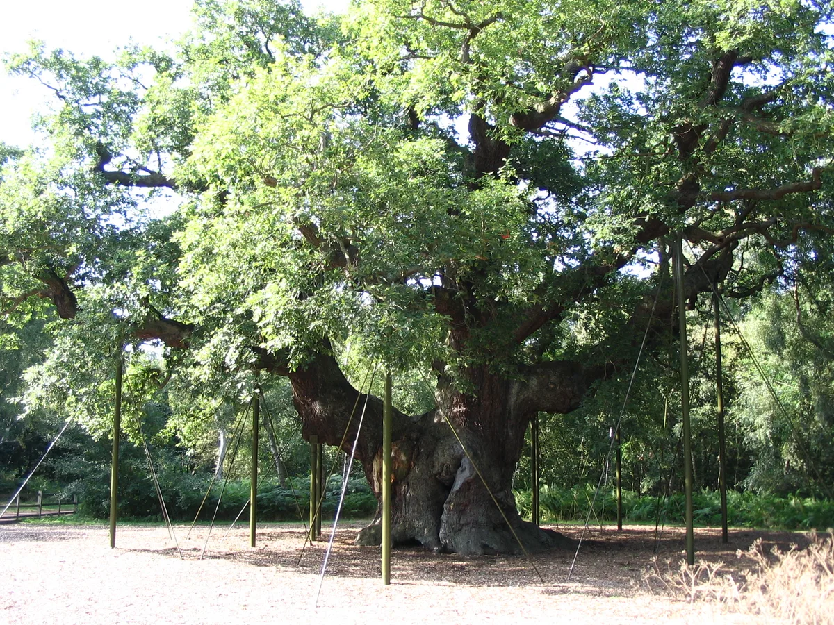
Sherwood Forest
Sherwood Forest is a archaeological site in the United Kingdom.
 Flagship📷 5
Archaeological sites · East Midlands
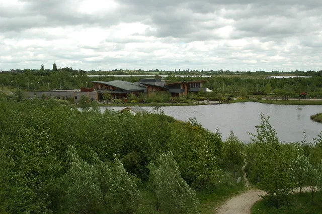
The National Forest
The National Forest — environmental project in central England.
 📷 3
📷 3Archaeological sites · East Midlands
Appleton medieval and early post-medieval settlement
Appleton medieval and early post-medieval settlement — archaeological site in Flitcham with Appleton, King's Lynn and West Norfolk, England, UK.
 📷 3
📷 3Archaeological sites · East Midlands
Brauncewell medieval village
Brauncewell medieval village — archaeological site in Cranwell, Brauncewell and Byard's Leap, North Kesteven, England, UK.
Frequently asked questions
- Where is Ring Dam medieval fishpond?
- Ring Dam medieval fishpond is in Lincolnshire, the East Midlands, United Kingdom (postcode NG33 4BD), in the parish of Ropsley and Humby.
- Is Ring Dam medieval fishpond a listed building?
- Ring Dam medieval fishpond is officially recognised as scheduled monument listed.
- How do I get to Ring Dam medieval fishpond?
- Drivers can navigate to postcode NG33 4BD. It sits within the Grantham and Bourne parliamentary constituency.