Archaeological sites · East Midlands
The National Forest
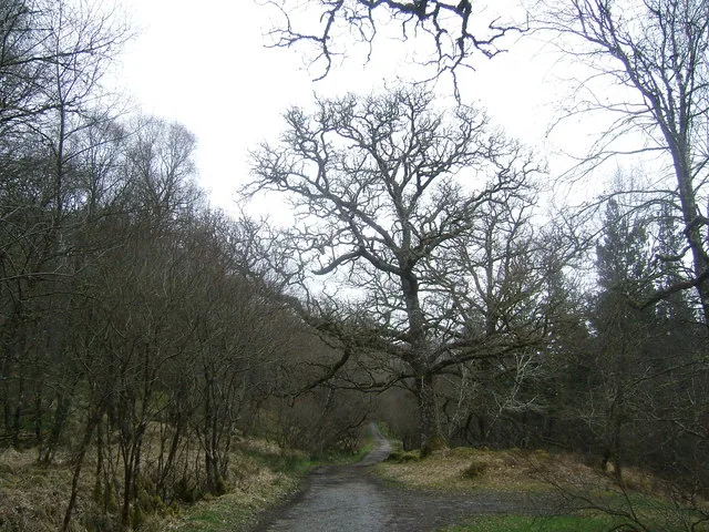
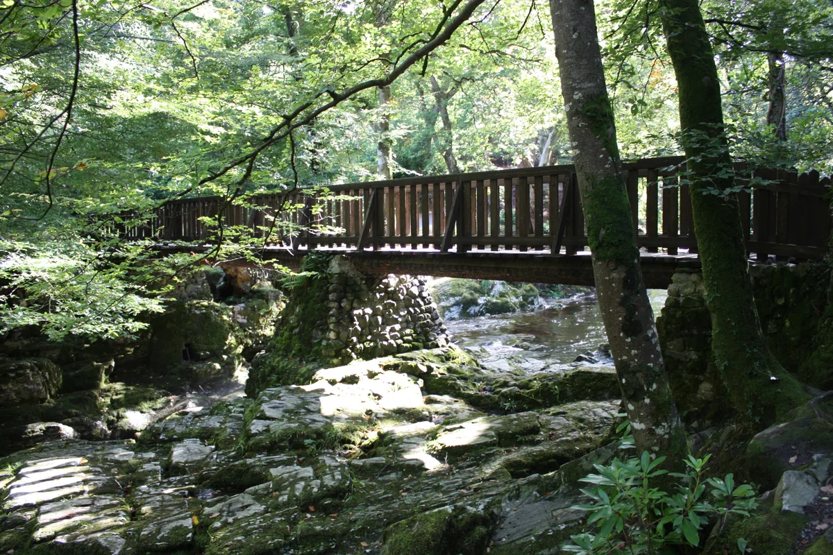
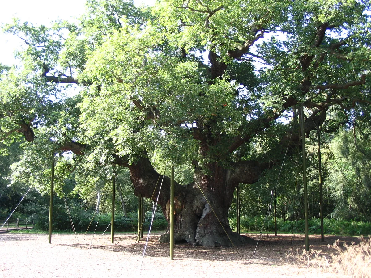
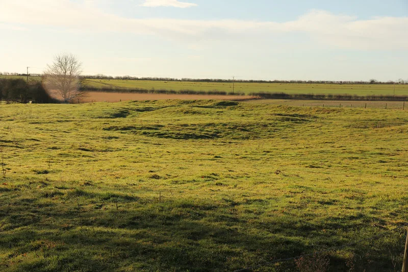
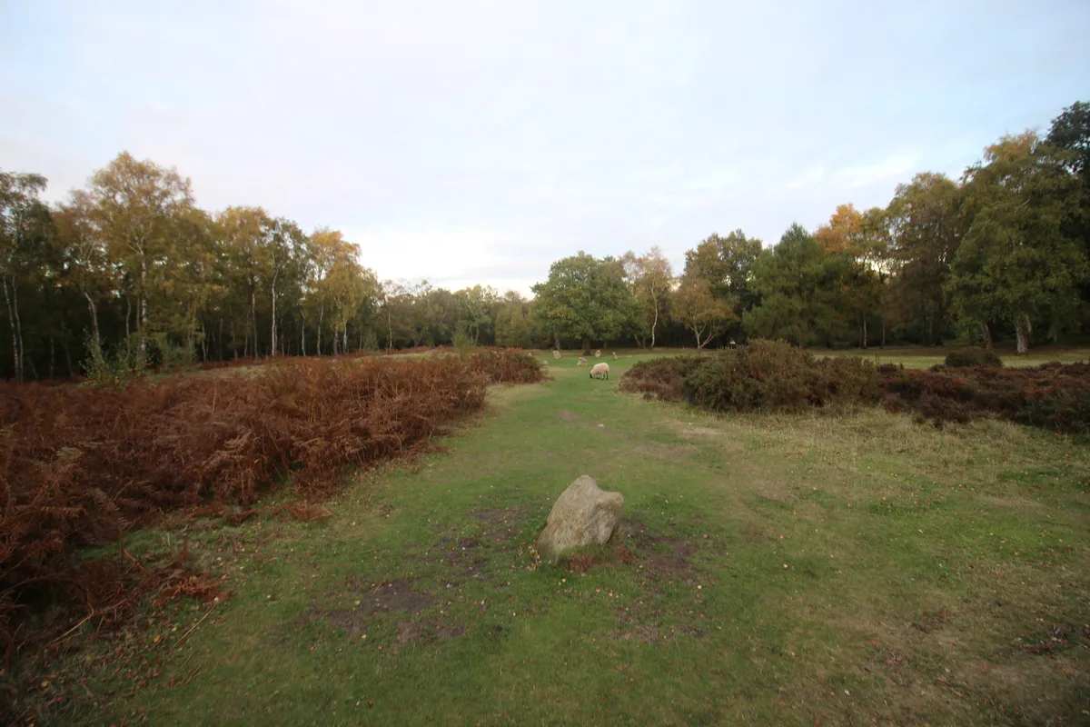
The National Forest — environmental project in central England.

Wikimedia Commons contributors — see linked file page for photographer and licence licence
Plan your visit
- Typical visit
- 45 min–1.5 h
- Nearest railway station
- Discovery Station · 0.0 km
- Free entry
- Dog-friendly
- Wheelchair accessible
About
The National Forest is an archaeological site in the United Kingdom. Records date its origin to 1995. It covers approximately 520 km². Managed by National Forest Company. Wikidata describes it as: "environmental project in central England". Coordinates: 52.7411°, -1.5431°.
Photo gallery
From the Wikipedia article
The National Forest is an environmental project in central England run by The National Forest Company. From the 1990s, 200 square miles (520 km2) of north Leicestershire, south Derbyshire and southeast Staffordshire have been planted in an attempt to blend ancient woodland with newly planted areas to create a new national forest. It stretches from the western outskirts of Leicester in the east to Burton upon Trent in the west, and is planned to link the ancient forests of Needwood and Charnwood.
Excerpt from Wikipedia under CC BY-SA 4.0. See the source article linked in Sources below.
Background
Description
The National Forest Company is a not-for-profit organisation established in April 1995 as a company limited by guarantee with Susan Bell (forester) as its first chief executive. It is supported by the Department for Environment, Food and Rural Affairs (Defra), with the aim of converting one third of the land within the boundaries of the National Forest (52 sqmi) to woodland, by encouraging landowners to alter their land use. It is described as "a forest in the making" and it is hoped to increase tourism and forestry-related jobs in the area. Around 9.5 million trees have been planted, more than tripling the woodland cover from 6% to 25%.
Sourced from Wikipedia under CC BY-SA 4.0.
- Coordinates
- 52.7411, -1.5431
- County
- Leicestershire
- District
- North West Leicestershire
- Parish
- Ashby Woulds
- Postcode
- DE12 6GA
- Parliamentary constituency
- North West Leicestershire
- Established
- 1995
- Nearest railway station
- Discovery Station — 0 km
- Official site
- www.nationalforest.org
Sources
- wikidata: Q6972763 (CC0)
- wikipedia: The National Forest (England) (CC BY-SA 4.0)
- commons: Conkers Discovery Centre - geograph.org.uk - 89395.jpg (CC BY-SA 4.0)
Other places nearby
Loading nearby places…
Nearby
 📷 3
📷 3Miniature railways · East Midlands
Conkerchoo
Conkerchoo — a miniature railway in england-east-midlands, United Kingdom.
 📷 3
📷 3Theme parks · East Midlands
Conkers
Conkers — a theme park in england-east-midlands, United Kingdom.
📷 3Forests & woodlands · East Midlands
Conkers National Forest Centre
Conkers National Forest Centre — a other in england-east-midlands, United Kingdom.
 📷 3
📷 3Memorials & monuments · East Midlands
Moira War Memorial
Moira War Memorial — Grade II listed building-listed memorial in england-east-midlands, United Kingdom.
Hostels · East Midlands
YHA National Forest
YHA National Forest — a hostel in england east midlands.
Caravan parks · East Midlands
Conkers C & C C
Conkers C & C C — a caravan park in england east midlands.
Other archaeological sites from this era
 Flagship📷 10
Archaeological sites · South East England
Bisham Woods
Bisham Woods — woodland in Berkshire, England.
 📷 3
📷 3Archaeological sites · West Midlands
Heart of England Forest
Heart of England Forest — UK non-governmental organization.
 📷 5
📷 5Archaeological sites · Scottish Highlands
Ariundle Oakwood National Nature Reserve
Ariundle Oakwood National Nature Reserve — forested nature reserve in Highland, Scotland, UK.
 Flagship📷 5
Archaeological sites · Northern Ireland
Tollymore Forest Park
Tollymore Forest Park — park in the United Kingdom.
More archaeological sites in this region
 Flagship📷 5
Archaeological sites · East Midlands
Sherwood Forest
Sherwood Forest is a archaeological site in the United Kingdom.
 📷 3
📷 3Archaeological sites · East Midlands
Appleton medieval and early post-medieval settlement
Appleton medieval and early post-medieval settlement — archaeological site in Flitcham with Appleton, King's Lynn and West Norfolk, England, UK.
 📷 3
📷 3Archaeological sites · East Midlands
Brauncewell medieval village
Brauncewell medieval village — archaeological site in Cranwell, Brauncewell and Byard's Leap, North Kesteven, England, UK.
 📷 3
📷 3Archaeological sites · East Midlands
Bronze Age burial, ceremonial and settlement remains on Stanton Moor, and evidence for medieval, post-medieval and 19th to early
Bronze Age burial, ceremonial and settlement remains on Stanton Moor, and evidence for medieval, post-medieval and 19th to early — archaeological site in Stanton, Derbyshire Dales, England, UK.
Frequently asked questions
- Where is The National Forest?
- The National Forest is in Leicestershire, the East Midlands, United Kingdom (postcode DE12 6GA), in the parish of Ashby Woulds.
- When was The National Forest built?
- Built or established in 1995.
- Who runs The National Forest?
- The National Forest is operated by National Forest Company.
- How do I get to The National Forest?
- The nearest railway station is Discovery Station, about 0.0 km away. Drivers can navigate to postcode DE12 6GA.