Natural landmarks · South East England
The Ridgeway
Britain's oldest road — 5,000-year-old prehistoric track from Avebury to the Chilterns.

Sarah Charlesworth — CC BY-SA 2.0 via Wikimedia Commons licence
Plan your visit
- Typical visit
- 1 h–2 h
- Free entry
- Dog-friendly
About
The Ridgeway is described as 'Britain's oldest road' — a 5,000-year-old prehistoric trackway from Avebury to Ivinghoe Beacon, designated as a National Trail in 1973. 87 miles across the Wessex Downs and Chilterns; passes the Uffington White Horse and Wayland's Smithy.
Photo gallery
From the Wikipedia article
The Ridgeway is a ridgeway or ancient trackway described as Britain's oldest road. The section clearly identified as an ancient trackway extends from Wiltshire along the chalk ridge of the Berkshire Downs to the River Thames at the Goring Gap, part of the Icknield Way which ran, not always on the ridge, from Salisbury Plain to East Anglia. The route was adapted and extended as a National Trail, created in 1972. The Ridgeway National Trail follows the ancient Ridgeway from Overton Hill, near Avebury, to Streatley, then follows footpaths and parts of the ancient Icknield Way through the Chiltern Hills to Ivinghoe Beacon in Buckinghamshire. The National Trail is 87 miles (140 km) long.
Excerpt from Wikipedia under CC BY-SA 4.0. See the source article linked in Sources below.
Background
History
hillfort in distance on left)]] For at least 5,000 years travellers have used the Ridgeway. The Ridgeway provided a reliable trading route to the Dorset coast and to the Wash in Norfolk. The high dry ground made travel easy and provided a measure of protection by giving traders a commanding view, warning against potential attacks. The Bronze Age saw the development of the Uffington White Horse and the stone circle at Avebury. During the Iron Age, inhabitants took advantage of the high ground by building hillforts along the Ridgeway to help defend the trading route. Following the collapse of Roman authority in Western Europe, invading Saxon and Viking armies used it. In medieval times and…
Sourced from Wikipedia under CC BY-SA 4.0.
- Coordinates
- 51.6500, -1.5000
- County
- Oxfordshire
- District
- Vale of White Horse
- Parish
- Stanford in the Vale
- Postcode
- SN7 8FP
- Parliamentary constituency
- Didcot and Wantage
Sources
- manual: ridgeway (manual)
- wikipedia: The Ridgeway (CC BY-SA 4.0)
Featured in these 4 guides
Itinerary
Britain's white cliffs & sea stacks
Ten dramatic chalk and sandstone coastal landmarks.
Itinerary
Isle of Wight weekend
The Needles, Osborne House, and Britain's dinosaur coast.
Itinerary
Britain's best winter walks
Crisp-frost trails for December and January.
Itinerary
Britain's May-blossom walks
Hawthorn, blackthorn, cherry — late spring at peak.
Other places nearby
Loading nearby places…
Nearby
 📷 5
📷 5Cathedrals · South East England
Church of St Denys
Church of St Denys is a cathedral in the United Kingdom.
 ★ Iconic📷 3
Abbeys & priories · West Midlands
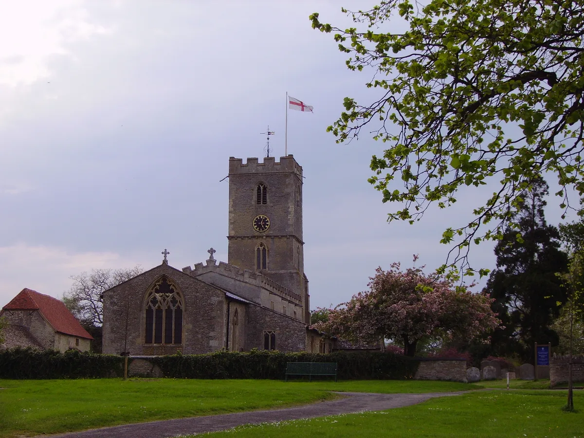
Church of St Denys
Church of St Denys — church in Stanford in the Vale, Oxfordshire, England, UK.
.jpg?width=1200) 📷 3
📷 3Historic houses · West Midlands
Coxs Hall
Coxs Hall — house in Stanford in the Vale, Vale of White Horse, England, UK.
.jpg?width=1200) 📷 3
📷 3Quarries · West Midlands
Shellingford Crossroads Quarry
Shellingford Crossroads Quarry is a quarry in the United Kingdom.
 📷 3
📷 3Historic bridges · West Midlands
Pusey House, Bridge Approximately 15 Metres East Of Temple And 300 Metres South West Of House
Pusey House, Bridge Approximately 15 Metres East Of Temple And 300 Metres South West Of House — Grade II listed building-listed bridge in england-west-midlands, United Kingdom.
 📷 3
📷 3Historic houses · West Midlands
Pusey House
Pusey House — house in Pusey, Oxfordshire, England, UK.
Other natural landmarks from this era
_(cropped).JPG?width=1200) 📷 5
📷 5Natural landmarks · London
George Stuart White
George Stuart White — Public artwork (statue).
 📷 5
📷 5Natural landmarks · London
Homage to Leonardo
Homage to Leonardo — Public artwork (statue).
 📷 5
📷 5Natural landmarks · London
John Keats
John Keats — Public artwork (statue) by Stuart Williamson.
 📷 5
📷 5Natural landmarks · London
José de San Martín
José de San Martín — Public artwork (statue).
More natural landmarks in this region
 📷 5
📷 5Natural landmarks · South East England
Bexhill Rotary Club Coin Collector
Bexhill Rotary Club Coin Collector — Public artwork (sculpture) by Jordan Whitewood-Neal and Michael Whiting.
 📷 5
📷 5Natural landmarks · South East England
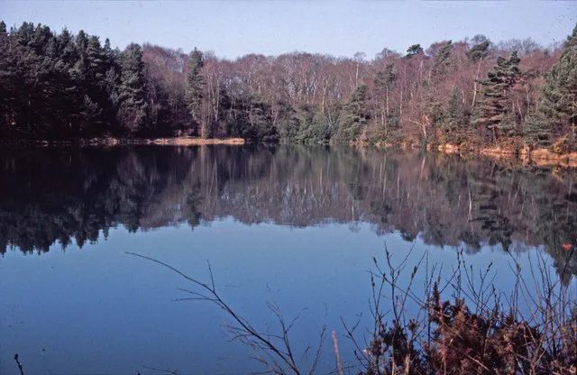
Blue Pool
Blue Pool — lake in Dorset, England, UK.
 📷 5
📷 5Natural landmarks · South East England
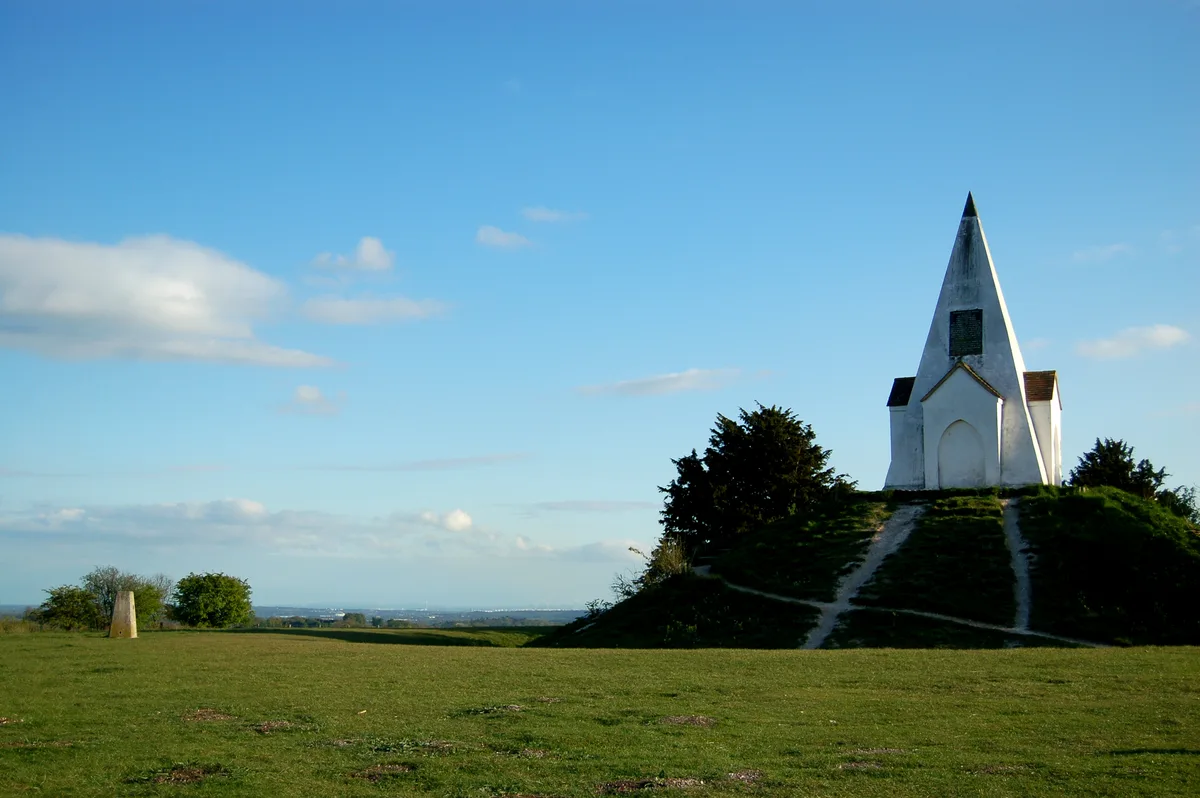
Farley Mount
Farley Mount — hill in Hampshire, United Kingdom.
 📷 5
📷 5Natural landmarks · South East England
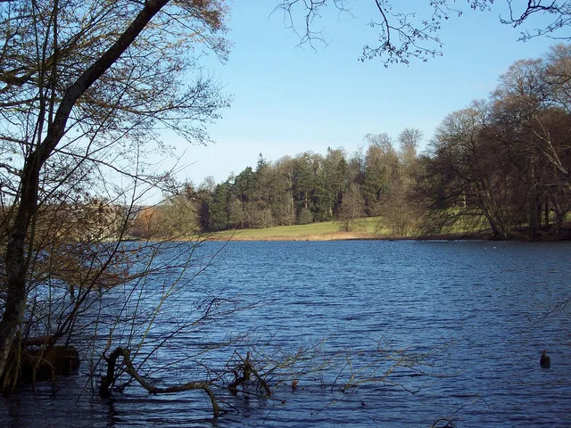
Fonthill Lake
Fonthill Lake — lake in Wiltshire, England, UK.
Frequently asked questions
- Where is The Ridgeway?
- The Ridgeway is in Oxfordshire, South-East England, United Kingdom (postcode SN7 8FP), in the parish of Stanford in the Vale.
- When was The Ridgeway built?
- Dates from the modern period.
- Is The Ridgeway free to visit?
- Yes, The Ridgeway is free to enter.
- How do I get to The Ridgeway?
- Drivers can navigate to postcode SN7 8FP. It sits within the Didcot and Wantage parliamentary constituency.