Viewpoints · West Midlands
Ivinghoe Beacon
Ivinghoe Beacon is a viewpoint in the United Kingdom.
Peter S — CC BY-SA 2.0 via Wikimedia Commons licence
Plan your visit
- Typical visit
- 20 min–45 min
- Best time of year
- Clear days year-round
- Nearest railway station
- Cheddington · 4.1 km
- Free entry
- Dog-friendly
About
Ivinghoe Beacon is a named viewpoint in the West Midlands, marked on Ordnance Survey maps for its outlook. The site is within the Chilterns National Landscape (AONB), and is a designated Site of Special Scientific Interest. It sits within the Aylesbury parliamentary constituency. The nearest railway station is Cheddington, about 4.1 km away. Postcode area LU7.
Photo gallery
Protected designations
- Site of Special Scientific Interest: Ivinghoe Hills SSSI
- Area of Outstanding Natural Beauty: Chilterns
Designations sourced from Natural England open data under OGL v3.
From the Wikipedia article
Ivinghoe Beacon is a prominent hill and landmark in Buckinghamshire, England, 233 m (757 ft) above sea level in the Chiltern Hills, close to Ivinghoe and Aldbury. Dunstable, Berkhamsted and Tring are nearby. The Beacon lies within the Ashridge Estate and is managed and owned by the National Trust. It is the starting point of the Icknield Way to the east, and the Ridgeway long-distance path to the west. Ivinghoe Beacon is a popular spot for walkers and sightseers. Model aircraft enthusiasts also use lift generated by the wind blowing up the hill to fly their unpowered aircraft – a technique known as slope soaring.
Excerpt from Wikipedia under CC BY-SA 4.0. See the source article linked in Sources below.
Background
History
The hill is an ancient signal point, which was used in times of crisis to send messages across long distances. It is also the site of an early Iron Age hillfort protected as a scheduled monument. Archaeological evidence has revealed human activity dating back to the Bronze Age, and the area contains many other scheduled Monuments, including a number of Bronze Age burial mounds and the faint remains of an Iron Age hillfort at the top of the hill. There also exists evidence of ancient farming as the Beacon is also crossed by deep channels which are thought to be cattle drovers' paths and cross-ridge dykes. The prehistoric earthwork, Grim's Ditch passes to the south of the Beacon at Incombe…
Sourced from Wikipedia under CC BY-SA 4.0.
- Coordinates
- 51.8420, -0.6082
- District
- Buckinghamshire
- Parish
- Ivinghoe
- Postcode
- LU7 9DJ
- Parliamentary constituency
- Aylesbury
- Nearest railway station
- Cheddington — 4.1 km
Sources
- osm: n1679011426 (ODbL)
- wikipedia: Ivinghoe Beacon (CC BY-SA 4.0)
Other places nearby
Loading nearby places…
Nearby
Vineyards · West Midlands
Ivinghoe Beacon
Ivinghoe Beacon — a UK vineyard in england west midlands, producing English or Welsh wine from cool-climate grape varieties.
 📷 3
📷 3Memorials & monuments · West Midlands
Icknield Way path milestone
Icknield Way path milestone — a memorial in england-west-midlands, United Kingdom.
Campsites · West Midlands
Town Farm
Town Farm — a campsite in england west midlands.
 📷 5
📷 5Towns & cities · West Midlands
Ivinghoe
Ivinghoe — village and civil parish in Buckinghamshire, England.
 📷 5
📷 5Historic churches · West Midlands
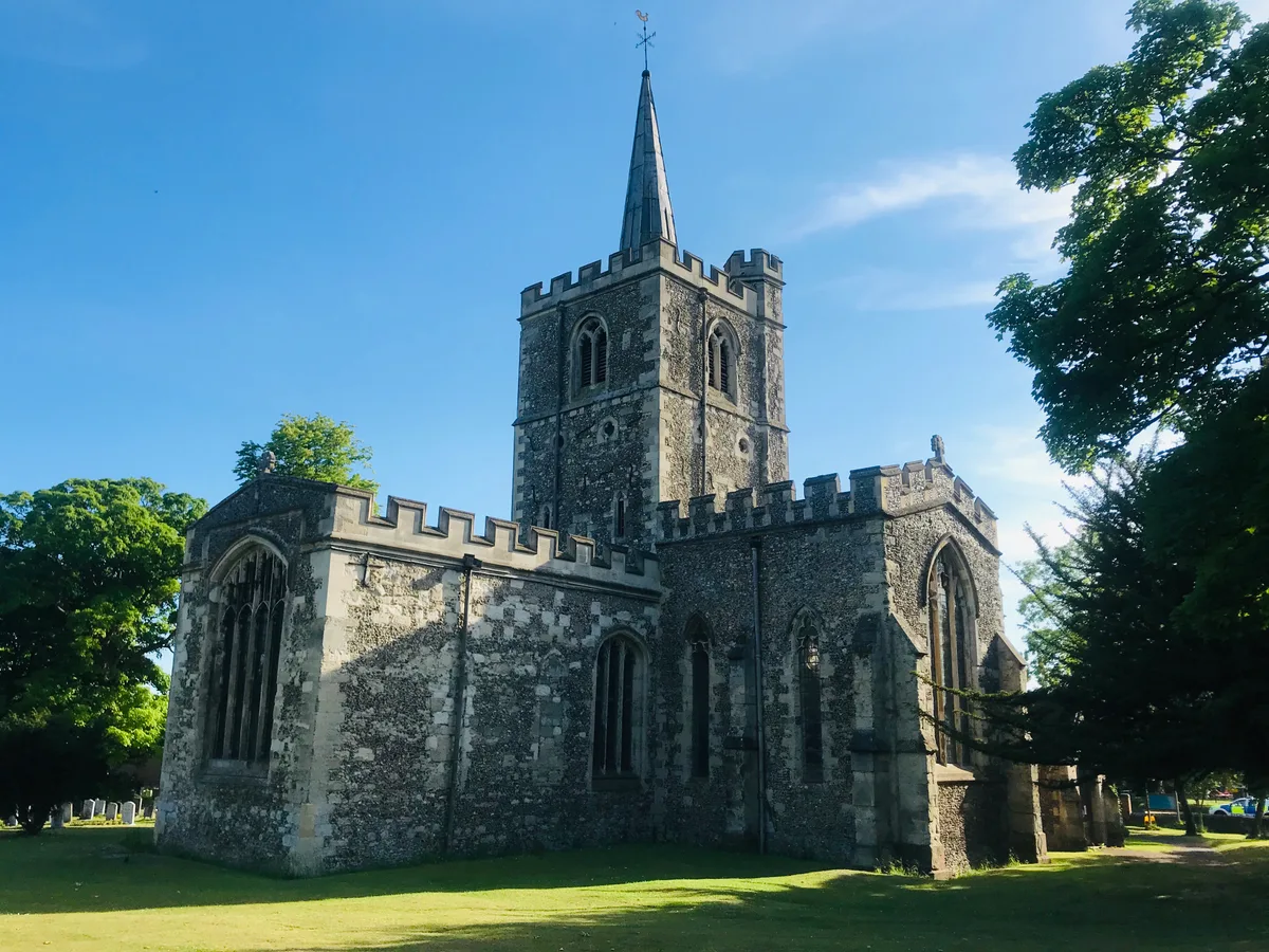
Church of St Mary
Church of St Mary — church in Ivinghoe, Buckinghamshire, England, UK.
 📷 3
📷 3Windmills · West Midlands
Pitstone Windmill
Pitstone Windmill is a windmill in the United Kingdom.
More viewpoints in this region
 📷 4
📷 4Viewpoints · West Midlands
Ambion Hill
Ambion Hill is a viewpoint in the United Kingdom.
 📷 3
📷 3Viewpoints · West Midlands
Apedale Winding Wheel
Apedale Winding Wheel is a viewpoint in the United Kingdom.
 📷 3
📷 3Viewpoints · West Midlands
Baggeridge Toposcope
Baggeridge Toposcope is a viewpoint in the United Kingdom.
 📷 3
📷 3Viewpoints · West Midlands
Barrett Bridge
Barrett Bridge is a viewpoint in the United Kingdom.
Frequently asked questions
- Where is Ivinghoe Beacon?
- Ivinghoe Beacon is in the West Midlands, United Kingdom (postcode LU7 9DJ), in the parish of Ivinghoe.
- Is Ivinghoe Beacon a protected site?
- Yes — Ivinghoe Beacon is part of the Ivinghoe Hills SSSI Site of Special Scientific Interest and the Chilterns National Landscape (AONB).
- Is Ivinghoe Beacon free to visit?
- Yes, Ivinghoe Beacon is free to enter.
- How do I get to Ivinghoe Beacon?
- The nearest railway station is Cheddington, about 4.1 km away. Drivers can navigate to postcode LU7 9DJ.