Canal locks · London
Richmond Lock and Footbridge
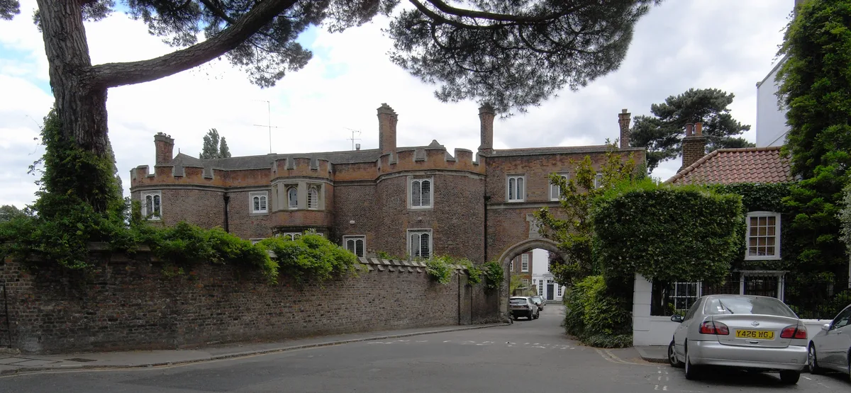
Richmond Lock and Footbridge — lock and pedestrian bridge, situated on the River Thames in south west London.

Wikimedia Commons contributors — see linked file page for photographer and licence licence
Plan your visit
- Typical visit
- 20 min–45 min
- Nearest railway station
- St Margarets · 0.8 km
- Free entry
- Dog-friendly
About
Richmond Lock and Footbridge is a canal lock in the United Kingdom. Records date its origin to 1894. Heritage designation: Grade II* listed building. Wikidata describes it as: "lock and pedestrian bridge, situated on the River Thames in south west London". Coordinates: 51.4622°, -0.3172°.
Photo gallery
From the Wikipedia article
Richmond Lock and Footbridge is a lock, rising and falling low-tide barrage integrating controlled sluices and pair of pedestrian bridges on the River Thames in southwest London, England, and is a Grade II* listed structure. It is the furthest downstream of the forty-five Thames locks and the only one owned and operated by the Port of London Authority. It was opened in 1894 and is north-west of the centre of Richmond in a semi-urban part of southwest London. Downstream are Syon Park and Kew Gardens on opposite banks. It connects the promenade at Richmond with the neighbouring district of St. Margarets on the west bank during the day and is closed at night to pedestrians – after 19:30 GMT or after 21:30 when BST is in use. At high tide the sluice gates are raised and partly hidden behind metal arches forming twin footbridges. It was built to maintain the lowest-lying head of water of the forty-five navigable reaches of the Thames above the rest of the Tideway. Below the structure for a few miles, at low tide, the navigable channel is narrow and restricts access for vessels with the greatest draft. The next major point of mooring below the lock is, accordingly, at Brentford Dock.
Excerpt from Wikipedia under CC BY-SA 4.0. See the source article linked in Sources below.
Background
History
The sluice gates were manually operated by lock keepers, who lived in housing mostly contained under the pedestrian steps and landing on both banks. The toll booths and the remains of the turnstile housings remain. Since two unconnected footbridges exist, one either side of the sluice-gate-holding brickwork and mechanisms, four toll booths and turnstiles had to be provided to collect the tolls.
Description
The chief engineer who designed the core of the structure, F. G. M. Stoney, took out seven patents relating to sluices between 1873 and 1894.
Sourced from Wikipedia under CC BY-SA 4.0.
- Coordinates
- 51.4622, -0.3172
- District
- Richmond upon Thames
- Parish
- Richmond upon Thames, unparished area
- Postcode
- TW9 2QJ
- Parliamentary constituency
- Richmond Park
- Established
- 1894
- Nearest railway station
- St Margarets — 0.8 km
Sources
- wikidata: Q541166 (CC0)
- wikipedia: Richmond Lock and Footbridge (CC BY-SA 4.0)
- commons: Richmond Lock from Isleworth,Middx looking SE.jpg (CC BY-SA 4.0)
Other places nearby
Loading nearby places…
Nearby
 📷 5
📷 5Viewpoints · London
Meridian Line Marker
Meridian Line Marker is a viewpoint in the United Kingdom.
 📷 5
📷 5Historic bridges · London
Twickenham Bridge
Twickenham Bridge is a historic bridge in the United Kingdom.
 📷 5
📷 5Historic bridges · London
Richmond Railway Bridge
Richmond Railway Bridge — a Grade II*-listed bridge in england-london, United Kingdom.
 📷 5
📷 5Historic houses · London
Asgill House
Asgill House — house in Richmond, London.
 📷 5
📷 5Maritime museums · London
Lilian
Lilian — a maritime museum in england-london, United Kingdom.
 ★ Iconic📷 5
Palaces · London
Richmond Palace
Richmond Palace — former royal residence in London, England, UK.
Other places from this era
.jpg?width=1200) 📷 5
📷 5Canal locks · South East England
Caversham Lock and Weir
Caversham Lock and Weir — lock and weir on the River Thames in Berkshire, England.
 📷 5
📷 5Canal locks · South East England
Hambleden Lock
Hambleden Lock — lock on River Thames.
 📷 3
📷 3Canal locks · West Midlands
Grand Union Canal, Shop Lock Approximately 7 Metres North Of Cottage Number 221
Grand Union Canal, Shop Lock Approximately 7 Metres North Of Cottage Number 221 — lock in Long Itchington, Stratford-on-Avon, Warwickshire, England, UK.
 ★ Iconic📷 5
Canal locks · North West England
Anderton Boat Lift
World's first boat lift (1875) — Cheshire, fully restored, open for trips.
More places in this region
 📷 5
📷 5Canal locks · London
Acton's Lock
Acton's Lock — lock in London Borough of Hackney, London, England, UK.
 📷 5
📷 5Canal locks · London
Aqueduct Lock
Aqueduct Lock — lock on the River Lee Navigation near Turnford, Hertfordshire, England, UK.
 📷 5
📷 5Canal locks · London
Baits Bite Lock, River Cam
Baits Bite Lock, River Cam is a canal lock in the United Kingdom.
 📷 5
📷 5Canal locks · London
Barrelled Lock Chamber, Sea Walls, Swing Bridge, Locks And Canal Basin
Barrelled Lock Chamber, Sea Walls, Swing Bridge, Locks And Canal Basin — bridge in Gravesham, Kent, England, UK.
Frequently asked questions
- Where is Richmond Lock and Footbridge?
- Richmond Lock and Footbridge is in London, United Kingdom (postcode TW9 2QJ), in the parish of Richmond upon Thames, unparished area.
- When was Richmond Lock and Footbridge built?
- Built or established in 1894.
- Is Richmond Lock and Footbridge a listed building?
- Richmond Lock and Footbridge is officially recognised as Grade II* listed building listed.
- How do I get to Richmond Lock and Footbridge?
- The nearest railway station is St Margarets, about 0.8 km away. Drivers can navigate to postcode TW9 2QJ.