Towns & cities · North Wales
Rhosllanerchrugog
Also known as: Rhosllannerchrugog
Rhosllanerchrugog — village and community in Wrexham, Wales, UK.

Wikimedia Commons contributors — see linked file page for photographer and licence licence
Plan your visit
- Typical visit
- 3 h–6 h
- Nearest railway station
- Ruabon · 2.7 km
- Free entry
- Family-friendly
- Dog-friendly
About
Rhosllanerchrugog is a town, city, village or settlement in the United Kingdom. Recent population estimates put it at around 9,380 people. Address: LL14. Wikidata describes it as: "village and community in Wrexham, Wales, UK". Coordinates: 53.0112°, -3.0522°.
Photo gallery
Protected designations
- Site of Special Scientific Interest: River Dee (England) SSSI
Designations sourced from Natural England open data under OGL v3.
From the Wikipedia article
Rhosllanerchrugog (; standardised and also spelled as Rhosllannerchrugog, [r̥ɔsˌɬanɛrχˈrɨːɡɔɡ] or simply Rhos) is a village and community in Wrexham County Borough, Wales. It lies within the historic county of Denbighshire. The entire built-up area including Penycae, Ruabon and Cefn Mawr had a population of 25,362.
Excerpt from Wikipedia under CC BY-SA 4.0. See the source article linked in Sources below.
Background
History
The village was originally within the ancient parish of Ruabon and the township of Morton Above (i.e. Morton, or moor town, above Offa's Dyke) or Morton Wallichorum (the Welsh Morton). In 1844 Morton Above, along with part of the neighbouring township of Dynhinlle Ucha, became part of the newly created parish of Rhosllanerchrugog. The Llanerchrugog estate itself was owned by the Jones family from at least the 1400s to the 19th century; in 1649 the landowner John Jones of Llanerchrugog claimed a detailed genealogy going back 2400 years to Dyfnwal Moelmud, and attempted to use his ancient rights of ownership to argue he should be exempt from taxes. The development of the village can be…
Architecture
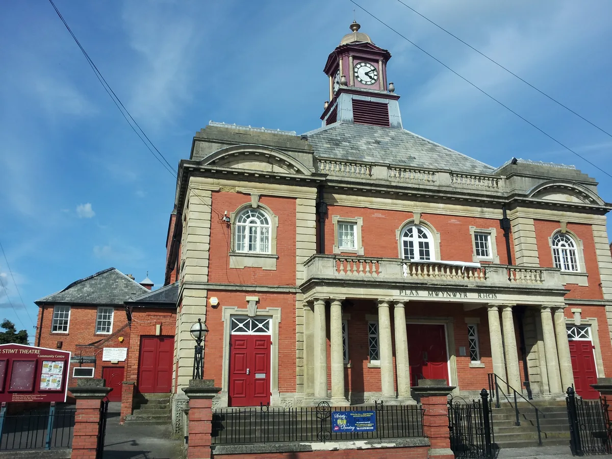
Rhos contains a number of listed public buildings. Notable buildings in the village include: The Stiwt Theatre, formerly the "Miners' Institute" (Plas Mwynwyr), which was built in 1926 to the designs of John Owen of Wrexham and F. A. Roberts, Mold. The Institute closed in 1977, following which the local council purchased the building in 1978. They decided to demolish the building in 1985, but it was saved as a result of local campaigning. Following fundraising efforts, it was renovated and reopened as a community theatre. The Stiwt Theatre holds the Wrexham young people's music festival since 2006. The Stiwt now do various shows and the grade II* listed building is open to the public to…
Sourced from Wikipedia under CC BY-SA 4.0.
- Coordinates
- 53.0112, -3.0522
- District
- Wrexham
- Parish
- Rhosllanerchrugog
- Postcode
- LL14
- Parliamentary constituency
- Montgomeryshire and Glyndwr
- Population
- 9,380
- Nearest railway station
- Ruabon — 2.7 km
Sources
- wikidata: Q616452 (CC0)
- wikipedia: Rhosllanerchrugog (CC BY-SA 4.0)
- commons: StiwtTheatreRhosllannerchrugog.jpg (CC BY-SA 4.0)
Other places nearby
Loading nearby places…
Nearby
 📷 3
📷 3Memorials & monuments · North Wales
Rhos War Memorial
Rhos War Memorial — a memorial in wales-north, United Kingdom.
 📷 3
📷 3Theatres · North Wales
Stiwt
Stiwt is a theatre in the United Kingdom.
 📷 5
📷 5Theatres · North Wales
Stiwt Theatr
Stiwt Theatr — Grade II* listed building-listed theatre in wales-north, United Kingdom.
 📷 3
📷 3Historic churches · North Wales
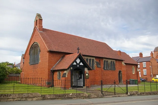
St David's Welsh Church
St David's Welsh Church — church in Rhosllannerchrugog, Wales.
 📷 5
📷 5Historic churches · North Wales
Church of Saint John Evangelist
Church of Saint John Evangelist — Grade II listed building-listed church in wales-north, United Kingdom.
Vineyards · North Wales
Y Gardden, Ruabon
Y Gardden, Ruabon — a UK vineyard in wales north, producing English or Welsh wine from cool-climate grape varieties.
More towns in this region
 📷 5
📷 5Towns & cities · North Wales
Bangor
Bangor — city in Gwynedd, Wales.
 Flagship📷 3
Towns & cities · North Wales
Beddgelert
Beddgelert — village and community in Gwynedd, Wales.
 Flagship📷 5
Towns & cities · North Wales
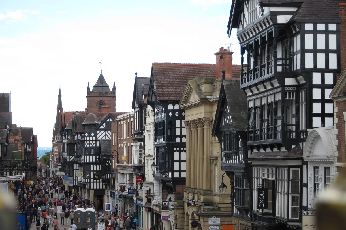
Chester
Chester — city in Cheshire, England.
 Flagship📷 3
Towns & cities · North Wales
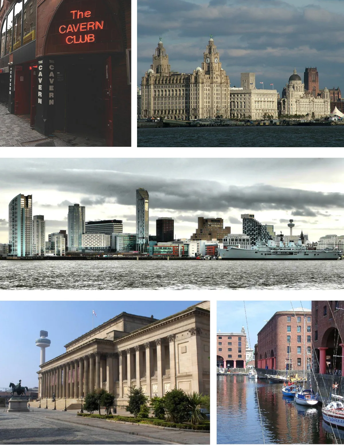
Liverpool
Liverpool — city in Merseyside, England, United Kingdom.
Frequently asked questions
- Where is Rhosllanerchrugog?
- Rhosllanerchrugog is in North Wales, United Kingdom (postcode LL14), in the parish of Rhosllanerchrugog.
- Is Rhosllanerchrugog a protected site?
- Yes — Rhosllanerchrugog is part of the River Dee (England) SSSI Site of Special Scientific Interest.
- Is Rhosllanerchrugog free to visit?
- Yes, Rhosllanerchrugog is free to enter.
- How do I get to Rhosllanerchrugog?
- The nearest railway station is Ruabon, about 2.7 km away. Drivers can navigate to postcode LL14.