Towns & cities · East of England
Rettendon
Rettendon — village and civil parish in Essex, England, UK.

Wikimedia Commons contributors — see linked file page for photographer and licence licence
Plan your visit
- Typical visit
- 3 h–6 h
- Nearest railway station
- Battlesbridge · 3.5 km
- Free entry
- Family-friendly
- Dog-friendly
About
Rettendon is a town, city, village or settlement in the United Kingdom. Recent population estimates put it at around 1,351 people. Address: CM3. Wikidata describes it as: "village and civil parish in Essex, England, UK". Coordinates: 51.6544°, 0.5497°.
Photo gallery
From the Wikipedia article
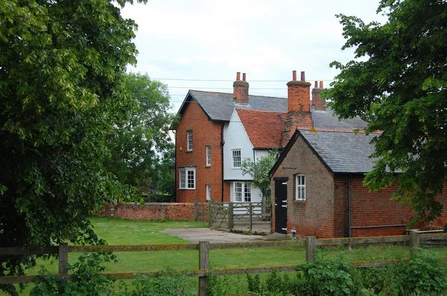
Rettendon is a village and civil parish in the Chelmsford district of Essex, England. It lies about 8 miles (13 km) south-east of the city of Chelmsford. There are two main built up parts of Rettendon, 1.5 miles (2.4 km) apart, sometimes distinguished as Rettendon Common to the north and Rettendon Place to the south. The parish church, village school and village hall are at Rettendon Place. The parish also covers surrounding rural areas and hamlets, including the parts of Battlesbridge north of the River Crouch, which forms the southern boundary of the parish. At the 2021 census the population of the parish was 1,967 and the population of the Rettendon built up area as defined by the Office for National Statistics (being just the Rettendon Common settlement) was 273. The village was once owned by the Bishop of Ely. The A130 formerly passed through the village and now bypasses it to the west. There are a number of listed buildings in the parish.
Excerpt from Wikipedia under CC BY-SA 4.0. See the source article linked in Sources below.
- Coordinates
- 51.6544, 0.5497
- County
- Essex
- District
- Chelmsford
- Parish
- Rettendon
- Postcode
- CM3
- Parliamentary constituency
- Maldon
- Population
- 1,351
- Nearest railway station
- Battlesbridge — 3.5 km
Sources
- wikidata: Q1009643 (CC0)
- wikipedia: Rettendon (CC BY-SA 4.0)
- commons: Ret sign.jpg (CC BY-SA 4.0)
Other places nearby
Loading nearby places…
Nearby
 📷 3
📷 3Public art & sculpture · East of England
Rettendon village sign
Rettendon village sign — a public art in england-east, United Kingdom.
 📷 5
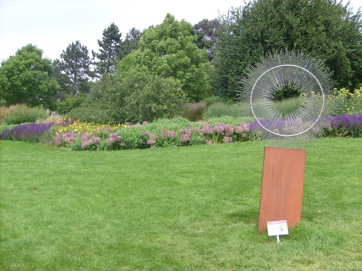
📷 5Gardens · East of England
RHS Garden, Hyde Hall
RHS Garden, Hyde Hall — Public garden in Essex, England.
 📷 3
📷 3Public art & sculpture · East of England
South Hanningfield village sign
South Hanningfield village sign — a public art in england-east, United Kingdom.
 Flagship📷 3
Stately homes · East of England
Ilgars Manor
Ilgars Manor — manor house in South Woodham Ferrers, Chelmsford, Essex, England, UK.
 📷 3
📷 3Zoos & aquariums · East of England
Call of the Wild Zoo
Call of the Wild Zoo — a zoo aquarium in england-east, United Kingdom.
 📷 3
📷 3Gardens · East of England
RHS Garden Hyde Hall
RHS Essex garden — Britain's driest, with extensive dry-garden plantings.
More towns in this region
 Flagship📷 3
Towns & cities · East of England
Alburgh
Alburgh — village and civil parish in Norfolk, UK.
 Flagship📷 3
Towns & cities · East of England
Aldeby
Aldeby — village and civil parish in Norfolk, UK.
 Flagship📷 5
Towns & cities · East of England
Ashill
Ashill — village and civil parish in the English county of Norfolk.
 Flagship📷 3
Towns & cities · East of England
Aslacton
Aslacton — village and civil parish in Norfolk, UK.
Frequently asked questions
- Where is Rettendon?
- Rettendon is in Essex, East of England, United Kingdom (postcode CM3), in the parish of Rettendon.
- Is Rettendon free to visit?
- Yes, Rettendon is free to enter.
- How do I get to Rettendon?
- The nearest railway station is Battlesbridge, about 3.5 km away. Drivers can navigate to postcode CM3.