Towns & cities · East of England
East Hanningfield
East Hanningfield — village in Essex, England, UK.

Wikimedia Commons contributors — see linked file page for photographer and licence licence
Plan your visit
- Typical visit
- 3 h–6 h
- Nearest railway station
- South Woodham Ferrers · 4.8 km
- Free entry
- Family-friendly
- Dog-friendly
About
East Hanningfield is a town, city, village or settlement in the United Kingdom. Recent population estimates put it at around 1,095 people. Wikidata describes it as: "village in Essex, England, UK". Coordinates: 51.6835°, 0.5623°.
Photo gallery
From the Wikipedia article
East Hanningfield is a village and civil parish in the Chelmsford district of Essex, England. It is situated to the south-east of Chelmsford and to the north-west of South Woodham Ferrers. It is surrounded by the villages of Butts Green, Bicknacre, Woodham Ferrers, West Hanningfield, Howe Green, and Rettendon. At the 2021 census the parish had a population of 1,126. The village contains All Saints' Church (C of E), a primary school, 'The Folly Bistro'Restaurant (situated in the Former Windmill Tavern Public House and dating from the late 17th century), 'Vita Bella' Italian restaurant (situated in the former 'The Three Horseshoes' public house), a new village hall and a post office. RHS Garden, Hyde Hall is situated near by.
Excerpt from Wikipedia under CC BY-SA 4.0. See the source article linked in Sources below.
Background
History
The earliest appearance of the name Hanningfield was in the Domesday Book of 1086, where it was spelt Haningefelda and Haneghefelda and it is thought to date from the Anglo-Saxons colonisation period between the 5th-7th centuries, and to mean the open country (feld), of the people (inga), of Hana or Han. In 1870–72, John Marius Wilson's Imperial Gazetteer of England and Wales described East Hanningfield as: <blockquote> HANNINGFIELD (EAST), a parish in Chelmsford district, Essex; 3½ miles N of the river Crouch, and 6 SE of Chelmsford r. station. Post town, Chelmsford. Acres, 2, 446. Real property, £3, 323. Pop., 453. Houses, 94. The property is subdivided. The manor belongs to Lord Petre.…
Sourced from Wikipedia under CC BY-SA 4.0.
- Coordinates
- 51.6835, 0.5623
- County
- Essex
- District
- Chelmsford
- Parish
- East Hanningfield
- Postcode
- CM3 8AN
- Parliamentary constituency
- Maldon
- Population
- 1,095
- Nearest railway station
- South Woodham Ferrers — 4.8 km
- Official site
- www.essexinfo.net
Sources
- wikidata: Q2091591 (CC0)
- wikipedia: East Hanningfield (CC BY-SA 4.0)
- commons: All Saints; the parish church of East Hanningfield - geograph.org.uk - 684349.jpg (CC BY-SA 4.0)
Other places nearby
Loading nearby places…
Nearby
 📷 3
📷 3Abbeys & priories · East of England
Bicknacre Priory
Bicknacre Priory — a abbey in england-east, United Kingdom.
📷 3Public art & sculpture · East of England
Bicknacre village sign
Bicknacre village sign — a public art in england-east, United Kingdom.
 📷 5
📷 5Gardens · East of England
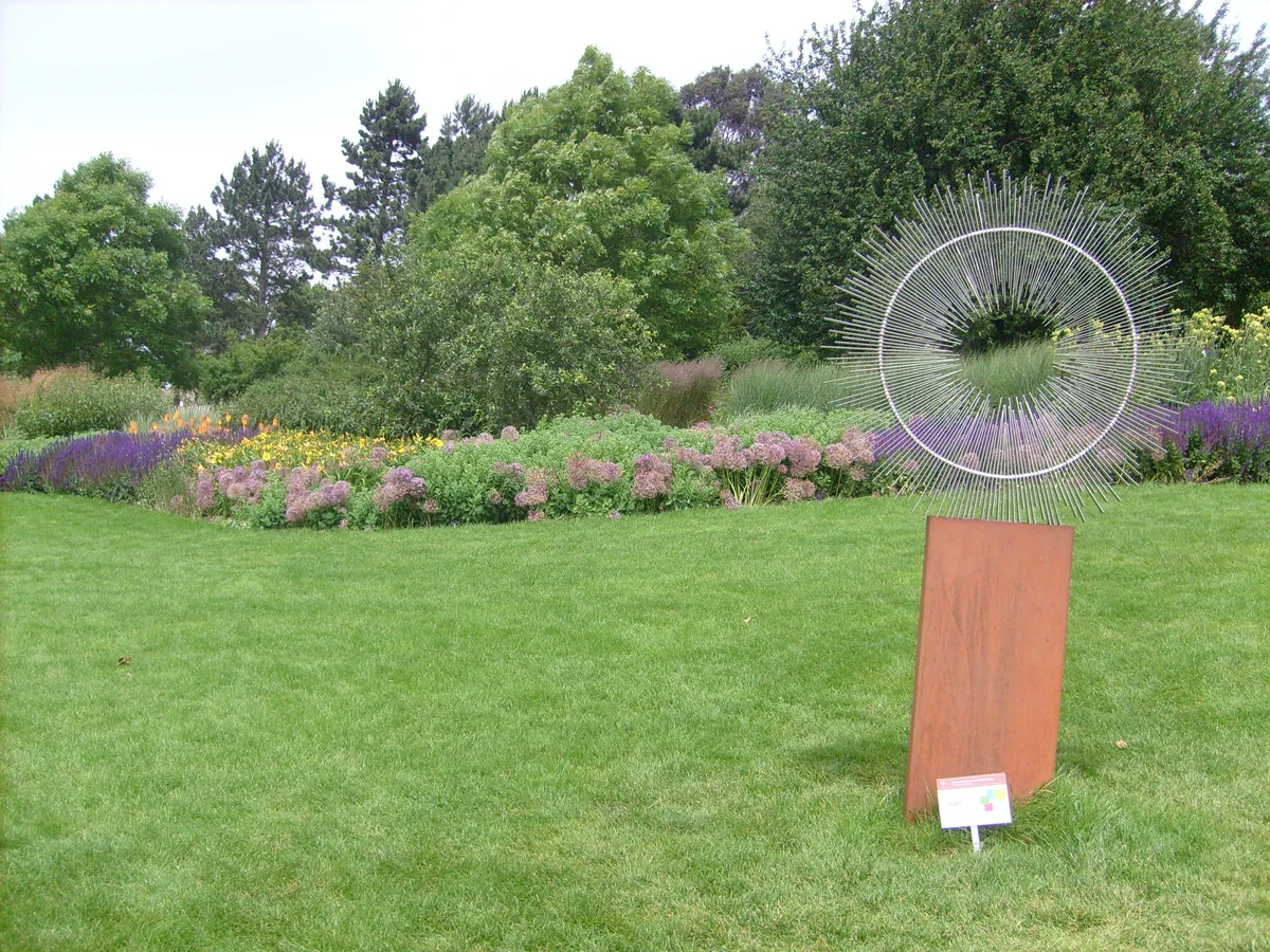
RHS Garden, Hyde Hall
RHS Garden, Hyde Hall — Public garden in Essex, England.
 📷 3
📷 3Public art & sculpture · East of England
Woodham Ferrers Village Sign
Woodham Ferrers Village Sign — a public art in england-east, United Kingdom.
📷 3Memorials & monuments · East of England
Woodham Ferrers War Memorial
Woodham Ferrers War Memorial — Grade II listed building-listed memorial in england-east, United Kingdom.
 📷 5
📷 5Towns & cities · East of England
Rettendon
Rettendon — village and civil parish in Essex, England, UK.
More towns in this region
 Flagship📷 3
Towns & cities · East of England
Alburgh
Alburgh — village and civil parish in Norfolk, UK.
 Flagship📷 3
Towns & cities · East of England
Aldeby
Aldeby — village and civil parish in Norfolk, UK.
 Flagship📷 5
Towns & cities · East of England
Ashill
Ashill — village and civil parish in the English county of Norfolk.
 Flagship📷 3
Towns & cities · East of England
Aslacton
Aslacton — village and civil parish in Norfolk, UK.
Frequently asked questions
- Where is East Hanningfield?
- East Hanningfield is in Essex, East of England, United Kingdom (postcode CM3 8AN), in the parish of East Hanningfield.
- Is East Hanningfield free to visit?
- Yes, East Hanningfield is free to enter.
- How do I get to East Hanningfield?
- The nearest railway station is South Woodham Ferrers, about 4.8 km away. Drivers can navigate to postcode CM3 8AN.