National parks · North East England
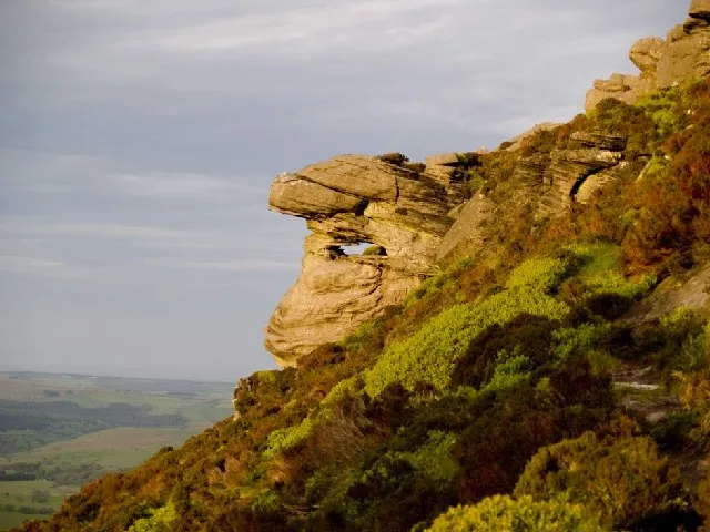
Reiver's Way
Reiver's Way in England North East, United Kingdom.

Russel Wills — CC BY-SA 2.0 via Wikimedia Commons licence
Plan your visit
- Typical visit
- 4 h–8 h
- Best time of year
- Spring – autumn (Apr–Oct)
- Free entry
- Family-friendly
- Dog-friendly
About
Reiver's Way is a place of interest in England North East, United Kingdom — drawn from open-data sources for visitor reference. See the linked Wikipedia article for the full description.
Photo gallery
From the Wikipedia article
The Reivers Way is a long-distance footpath in Northumberland, passing through the Northumberland National Park and the Cheviot Hills. Totalling 242 kilometres (150 mi) it starts in the Roman township of Corbridge and crosses the Hexhamshire Common before heading up along Hadrians Wall. Via Wark and Rothbury it heads into the Cheviot range via Clennell Street leading up to The Cheviot before dropping down to Wooler. From Wooler the path passes through Belford to the Northumbrian Saxon's capital of Bamburgh, and then follows the Northumberland Coast Path through Seahouses to Alnmouth.
Excerpt from Wikipedia under CC BY-SA 4.0. See the source article linked in Sources below.
- Coordinates
- 55.2900, -2.0100
- District
- Northumberland
- Parish
- Hepple
- Postcode
- NE65 7LW
- Parliamentary constituency
- North Northumberland
Sources
- wikidata: Q29026543 (CC0)
- wikipedia: Reivers Way (CC BY-SA 4.0)
Other places nearby
Loading nearby places…
Nearby
Vineyards · Scottish Lowlands
Witchy Neuk
Witchy Neuk — a UK vineyard in scotland lowlands, producing English or Welsh wine from cool-climate grape varieties.
 📷 4
📷 4National parks · North East England
Hepple
Hepple in England North East, United Kingdom.
📷 3Memorials & monuments · Scottish Lowlands
Hepple Tower
Hepple Tower — scheduled monument-listed memorial in scotland-lowlands, United Kingdom.
 📷 3
📷 3Mountains & hills · Scottish Lowlands
Tosson Hill
Tosson Hill — Named summit at 440 m.
Vineyards · Scottish Lowlands
Wolfershiel
Wolfershiel — a UK vineyard in scotland lowlands, producing English or Welsh wine from cool-climate grape varieties.
 📷 5
📷 5Viewpoints · Scottish Lowlands
Hepple - R. Ponticum woods
Hepple - R. Ponticum woods is a viewpoint in the United Kingdom.
More national parks in this region
 Flagship📷 5
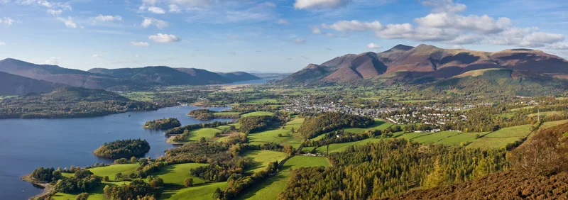
National parks · North East England
Lake District
Lake District is a Mountainous region and national park in North West England.
 📷 4
📷 4National parks · North East England
Nateby
Nateby in England North East, United Kingdom.
 📷 4
📷 4National parks · North East England
Mallerstang
Mallerstang in England North East, United Kingdom.
 📷 4
📷 4National parks · North East England
Borrowdale
Borrowdale in England North East, United Kingdom.
Frequently asked questions
- Where is Reiver's Way?
- Reiver's Way is in North-East England, United Kingdom (postcode NE65 7LW), in the parish of Hepple.
- Is Reiver's Way free to visit?
- Yes, Reiver's Way is free to enter.
- How do I get to Reiver's Way?
- Drivers can navigate to postcode NE65 7LW. It sits within the North Northumberland parliamentary constituency.