National parks · North East England
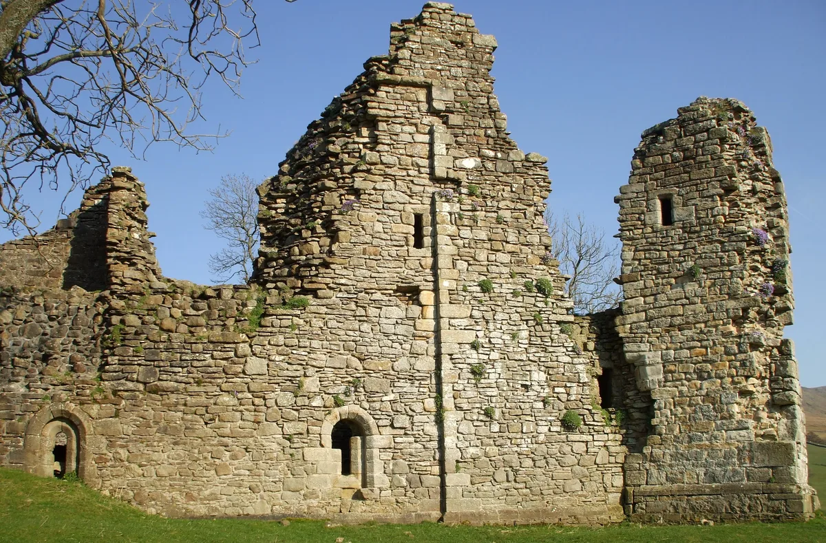
Mallerstang
Mallerstang in England North East, United Kingdom.

Roger Templeman — CC BY-SA 2.0 via Wikimedia Commons licence
Plan your visit
- Typical visit
- 4 h–8 h
- Best time of year
- Spring – autumn (Apr–Oct)
- Free entry
- Family-friendly
- Dog-friendly
About
Mallerstang is a place of interest in England North East, United Kingdom — drawn from open-data sources for visitor reference. See the linked Wikipedia article for the full description.
Photo gallery
From the Wikipedia article
Mallerstang is a civil parish in the extreme east of Cumbria, and, geographically, a dale at the head of the upper Eden Valley. Originally part of Westmorland, it lies about 6 miles (9.7 km) south of the nearest town, Kirkby Stephen. Its eastern edge, at Aisgill, borders on North Yorkshire; and since August 2016 it has been within the Yorkshire Dales National Park. At the 2011 census data for Wharton was included with Mallerstang, giving a total population of 173.
Excerpt from Wikipedia under CC BY-SA 4.0. See the source article linked in Sources below.
Background
Description
as "Huseat Morvel hill"); from a 1610 map of Westmorland by John Speede]] This narrow valley at the head of the River Eden is bounded by Wild Boar Fell and Swarth Fell to the west and Mallerstang Edge to the east. The highest point of Mallerstang Edge is the summit of High Seat; at 709 m this is a metre or so higher than the more prominent Wild Boar Fell. The other main high points on the eastern side of the dale are the curiously named Gregory Chapel, south of High Seat, and Hugh Seat to the south-east. The river Eden rises as Red Gill Beck in Black Moss, the peat bogs below Hugh Seat. A little further downstream it becomes Hellgill Beck; and it traditionally takes the name 'Eden' below…
Sourced from Wikipedia under CC BY-SA 4.0.
- Coordinates
- 54.4085, -2.3374
- District
- Westmorland and Furness
- Parish
- Mallerstang
- Postcode
- CA17 4JU
- Parliamentary constituency
- Westmorland and Lonsdale
- Official site
- www.sheepfoldscumbria.co.uk
Sources
- wikidata: Q2781766 (CC0)
- wikipedia: Mallerstang (CC BY-SA 4.0)
Other places nearby
Loading nearby places…
Nearby
 📷 3
📷 3Public art & sculpture · North West England
Outhgill Pinfold
Outhgill Pinfold — a public art in england-north-west, United Kingdom.
 📷 3
📷 3Caves · North West England
Jingling Hole
Jingling Hole is a cave in the United Kingdom.
 📷 4
📷 4Historic churches · North East England
Outhgill
Outhgill in England North East, United Kingdom.
 📷 3
📷 3Caves · North West England
Sand Pot
Sand Pot is a cave in the United Kingdom.
 📷 3
📷 3Castles · North West England
Pendragon Castle
Pendragon Castle — Grade I listed castle in Mallerstang, United Kingdom.
 📷 3
📷 3Historic bridges · North West England
Castle Bridge Over River Eden To North West Of Pendragon Castle
Castle Bridge Over River Eden To North West Of Pendragon Castle — Grade II listed building-listed bridge in england-north-west, United Kingdom.
More national parks in this region
 Flagship📷 5
National parks · North East England
Lake District
Lake District is a Mountainous region and national park in North West England.
 📷 4
📷 4National parks · North East England
Nateby
Nateby in England North East, United Kingdom.
 📷 4
📷 4National parks · North East England
Borrowdale
Borrowdale in England North East, United Kingdom.
 📷 3
📷 3National parks · North East England
Winterscleugh
Winterscleugh in England North East, United Kingdom.
Frequently asked questions
- Where is Mallerstang?
- Mallerstang is in North-East England, United Kingdom (postcode CA17 4JU), in the parish of Mallerstang.
- Is Mallerstang free to visit?
- Yes, Mallerstang is free to enter.
- How do I get to Mallerstang?
- Drivers can navigate to postcode CA17 4JU. It sits within the Westmorland and Lonsdale parliamentary constituency.