Mountains & hills · North West England
Red Screes
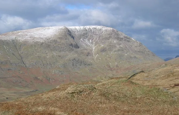
Red Screes — Named summit at 778.8 m.

Wikimedia Commons contributors — see linked file page for photographer and licence licence
Plan your visit
- Typical visit
- 3 h–8 h
- Best time of year
- Late spring – early autumn (May–Oct)
- Free entry
- Dog-friendly
About
Red Screes is a named summit in the United Kingdom. Wikidata describes it as: "Named summit at 778.8 m.". Coordinates: 54.4706°, -2.9326°.
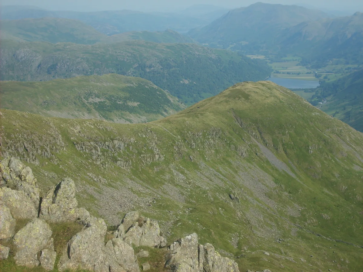
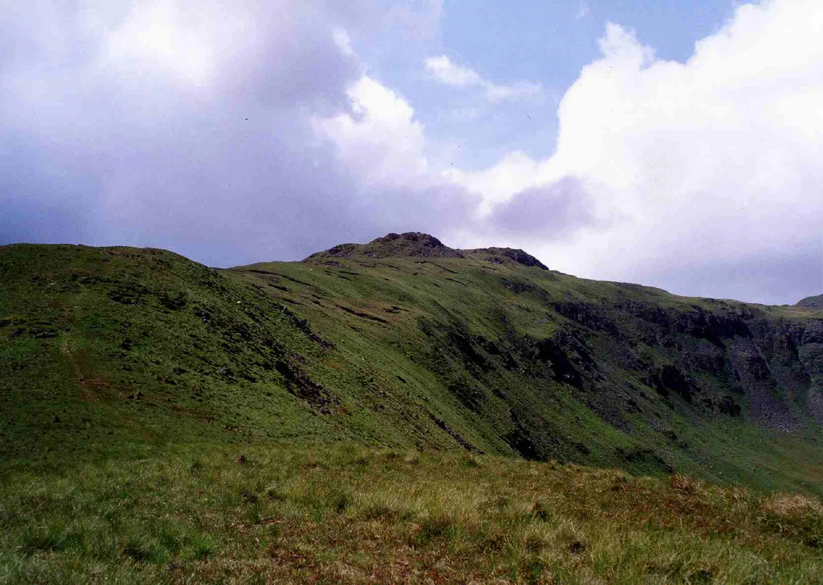
Photo gallery
Protected designations
- Site of Special Scientific Interest: River Eden and Tributaries SSSI
Designations sourced from Natural England open data under OGL v3.
From the Wikipedia article
Red Screes is a fell in the English Lake District, situated between the villages of Patterdale and Ambleside. It may be considered an outlier of the Fairfield group in the Eastern Fells, but is separated from its neighbours by low cols. This gives Red Screes an independence which is reflected in its prominence.
Excerpt from Wikipedia under CC BY-SA 4.0. See the source article linked in Sources below.
- Coordinates
- 54.4706, -2.9326
- District
- Westmorland and Furness
- Parish
- Lakes
- Postcode
- LA22 9LQ
- Parliamentary constituency
- Westmorland and Lonsdale
Sources
- osm: n29728741 (ODbL)
- wikipedia: Red Screes (CC BY-SA 4.0)
- commons: Red Screes.jpg (CC BY-SA 4.0)
Other places nearby
Loading nearby places…
Nearby
 📷 4
📷 4Natural landmarks · North West England
Red Screes
Red Screes — mountain in United Kingdom.
 📷 3
📷 3Natural landmarks · North West England
Kirk Stone
Kirk Stone — a other in england-north-west, United Kingdom.
 📷 3
📷 3Mountains & hills · North West England
Middle Dodd
Middle Dodd — Named summit at 654 m.
 📷 3
📷 3Natural landmarks · North West England
Middle Dodd
Middle Dodd — mountain in United Kingdom.
 📷 3
📷 3Natural landmarks · North West England
Little Hart Crag
Little Hart Crag — mountain in United Kingdom.
 📷 3
📷 3Mountains & hills · North West England
Little Hart Crag
Little Hart Crag — Named summit at 637 m.
More mountains in this region
 📷 3
📷 3Mountains & hills · North West England
Allen Crags
Allen Crags — Named summit at 785 m.
 📷 3
📷 3Mountains & hills · North West England
Alum Pot
Alum Pot — Open shaft pothole in North Yorkshire.
 📷 3
📷 3Mountains & hills · North West England
Arnside Knott
Arnside Knott — Named summit at 159 m.
 📷 3
📷 3Mountains & hills · North West England
Aye Gill Pike
Aye Gill Pike — Named summit at 556.3 m.
Frequently asked questions
- Where is Red Screes?
- Red Screes is in North-West England, United Kingdom (postcode LA22 9LQ), in the parish of Lakes.
- Is Red Screes a protected site?
- Yes — Red Screes is part of the River Eden and Tributaries SSSI Site of Special Scientific Interest.
- Is Red Screes free to visit?
- Yes, Red Screes is free to enter.
- How do I get to Red Screes?
- Drivers can navigate to postcode LA22 9LQ. It sits within the Westmorland and Lonsdale parliamentary constituency.