Mountains & hills · North West England
Caudale Moor
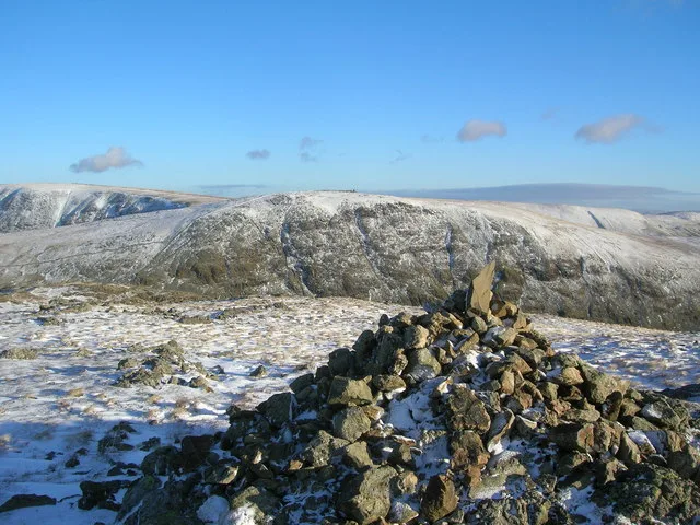
Caudale Moor — Named summit at 755 m.

Wikimedia Commons contributors — see linked file page for photographer and licence licence
Plan your visit
- Typical visit
- 3 h–8 h
- Best time of year
- Late spring – early autumn (May–Oct)
- Free entry
- Dog-friendly
About
Caudale Moor is a named summit in the United Kingdom. Wikidata describes it as: "Named summit at 755 m.". Coordinates: 54.4826°, -2.9078°.
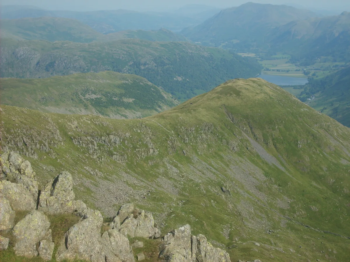
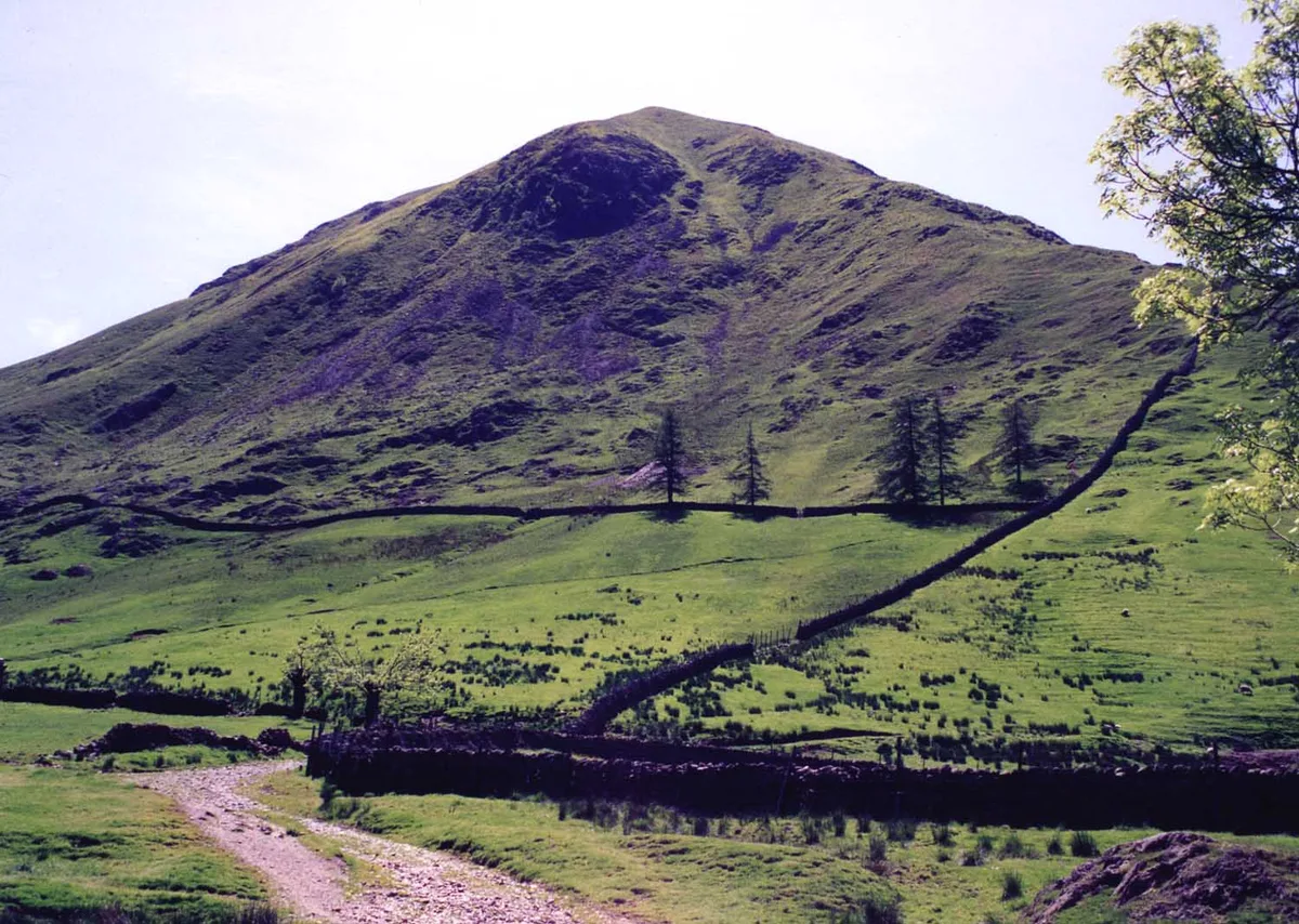
Photo gallery
Protected designations
- Site of Special Scientific Interest: Troutbeck SSSI
- Site of Special Scientific Interest: River Eden and Tributaries SSSI
Designations sourced from Natural England open data under OGL v3.
From the Wikipedia article
Stony Cove Pike (alternatively known as Caudale Moor or John Bell's Banner) is a fell in the Far Eastern part of the English Lake District. It stands on the other side of the Kirkstone Pass from Red Screes, and is on the end of a ridge coming down from High Street. It is separated from its neighbours by the deep col of Threshthwaite Mouth, so is a Marilyn (a hill with topographic prominence of at least 150m) – the sixteenth highest in the Lake District.
Excerpt from Wikipedia under CC BY-SA 4.0. See the source article linked in Sources below.
- Coordinates
- 54.4826, -2.9078
- Address
- Cumbria, England
Sources
- osm: n560045979 (ODbL)
- wikipedia: Stony Cove Pike (CC BY-SA 4.0)
- commons: Stony Cove Pike Cairn - geograph.org.uk - 631439.jpg (CC BY-SA 4.0)
Other places nearby
Loading nearby places…
Nearby
 📷 3
📷 3Memorials & monuments · North West England
Mark Atkinson's Monument
Mark Atkinson's Monument — a memorial in england-north-west, United Kingdom.
 📷 3
📷 3Natural landmarks · North West England
Stony Cove Pike
Stony Cove Pike — mountain in the United Kingdom.
 📷 3
📷 3Mountains & hills · North West England
Stony Cove Pike
Stony Cove Pike — Named summit at 763.7 m.
 📷 3
📷 3Mountains & hills · North West England
Middle Dodd
Middle Dodd — Named summit at 654 m.
 📷 3
📷 3Natural landmarks · North West England
Middle Dodd
Middle Dodd — mountain in United Kingdom.
 📷 3
📷 3Natural landmarks · North West England
Hartsop Dodd
Hartsop Dodd — mountain in United Kingdom.
More mountains in this region
 📷 3
📷 3Mountains & hills · North West England
Allen Crags
Allen Crags — Named summit at 785 m.
 📷 3
📷 3Mountains & hills · North West England
Alum Pot
Alum Pot — Open shaft pothole in North Yorkshire.
 📷 3
📷 3Mountains & hills · North West England
Arnside Knott
Arnside Knott — Named summit at 159 m.
 📷 3
📷 3Mountains & hills · North West England
Aye Gill Pike
Aye Gill Pike — Named summit at 556.3 m.
Frequently asked questions
- Where is Caudale Moor?
- Caudale Moor is in North-West England, United Kingdom.
- Is Caudale Moor a protected site?
- Yes — Caudale Moor is part of the Troutbeck SSSI Site of Special Scientific Interest and the River Eden and Tributaries SSSI Site of Special Scientific Interest.
- Is Caudale Moor free to visit?
- Yes, Caudale Moor is free to enter.