Mountains & hills · North West England
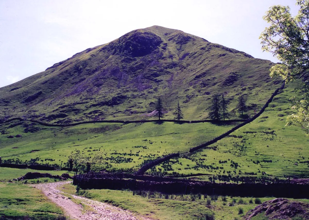
Hartsop Dodd
Hartsop Dodd — Named summit at 619 m.

Wikimedia Commons contributors — see linked file page for photographer and licence licence
Plan your visit
- Typical visit
- 3 h–8 h
- Best time of year
- Late spring – early autumn (May–Oct)
- Free entry
- Dog-friendly
About
Hartsop Dodd is a named summit in the United Kingdom. Wikidata describes it as: "Named summit at 619 m.". Coordinates: 54.4985°, -2.9104°.
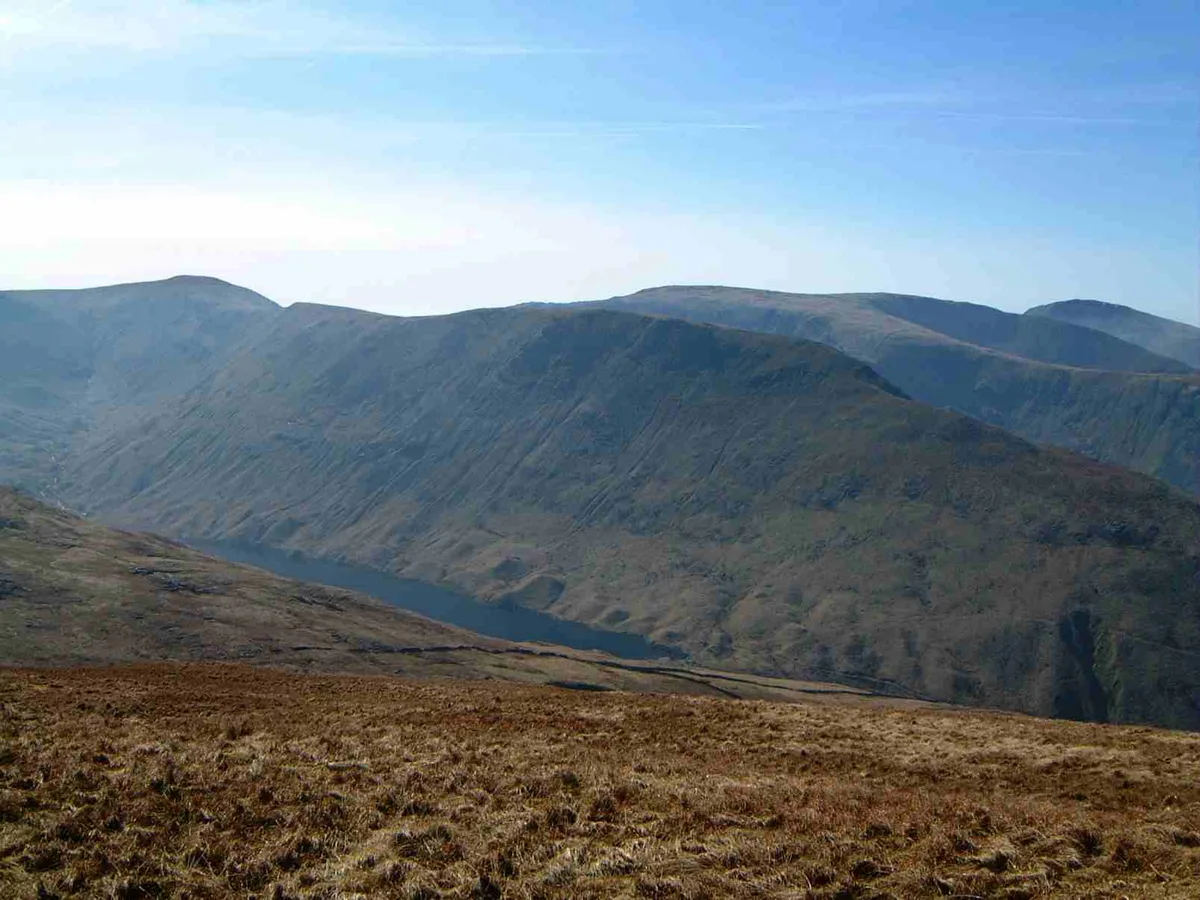
Photo gallery
Protected designations
- Site of Special Scientific Interest: River Eden and Tributaries SSSI
Designations sourced from Natural England open data under OGL v3.
From the Wikipedia article
Hartsop Dodd is a fell in the English Lake District, standing to the south east of Brothers Water. It is a subsidiary top on the north ridge of Caudale Moor, but was given separate fell status by Wainwright in his Pictorial Guide to the Lakeland Fells. That convention is followed here.
Excerpt from Wikipedia under CC BY-SA 4.0. See the source article linked in Sources below.
- Coordinates
- 54.4985, -2.9104
- District
- Westmorland and Furness
- Parish
- Patterdale
- Postcode
- CA11 0NZ
- Parliamentary constituency
- Westmorland and Lonsdale
Sources
- osm: n560045854 (ODbL)
- wikipedia: Hartsop Dodd (CC BY-SA 4.0)
- commons: Hartsop Dodd from Hartsop.jpg (CC BY-SA 4.0)
Other places nearby
Loading nearby places…
Nearby
 📷 3
📷 3Natural landmarks · North West England
Hartsop Dodd
Hartsop Dodd — mountain in United Kingdom.
Campsites · North West England
Sykeside Camping Site
Sykeside Camping Site — a campsite in england north west.
 📷 3
📷 3Viewpoints · North East England
Myers Head Lead Mine
Myers Head Lead Mine is a viewpoint in the United Kingdom.
 📷 3
📷 3Historic bridges · North East England
Pasture Beck Bridge
Pasture Beck Bridge — Grade II listed building-listed bridge in england-north-east, United Kingdom.
 Flagship📷 5
Natural landmarks · North East England
Brothers Water
Brothers Water — lake in Cumbria, England, UK.
 📷 3
📷 3Natural landmarks · North West England
Gray Crag
Gray Crag — mountain in United Kingdom.
More mountains in this region
 📷 3
📷 3Mountains & hills · North West England
Allen Crags
Allen Crags — Named summit at 785 m.
 📷 3
📷 3Mountains & hills · North West England
Alum Pot
Alum Pot — Open shaft pothole in North Yorkshire.
 📷 3
📷 3Mountains & hills · North West England
Arnside Knott
Arnside Knott — Named summit at 159 m.
 📷 3
📷 3Mountains & hills · North West England
Aye Gill Pike
Aye Gill Pike — Named summit at 556.3 m.
Frequently asked questions
- Where is Hartsop Dodd?
- Hartsop Dodd is in North-West England, United Kingdom (postcode CA11 0NZ), in the parish of Patterdale.
- Is Hartsop Dodd a protected site?
- Yes — Hartsop Dodd is part of the River Eden and Tributaries SSSI Site of Special Scientific Interest.
- Is Hartsop Dodd free to visit?
- Yes, Hartsop Dodd is free to enter.
- How do I get to Hartsop Dodd?
- Drivers can navigate to postcode CA11 0NZ. It sits within the Westmorland and Lonsdale parliamentary constituency.