Memorials & monuments · East Midlands
Quarndon Topograph
Quarndon Topograph is a memorial in the United Kingdom.

Eamon Curry — CC BY-SA 2.0 via Wikimedia Commons licence
Plan your visit
- Typical visit
- 15 min–45 min
- Nearest railway station
- Duffield · 2.2 km
- Free entry
- Dog-friendly
About
Quarndon Topograph is a public memorial in Derbyshire, the East Midlands, recording local sacrifice and named in the parish register of war and civic monuments. It sits within the Mid Derbyshire parliamentary constituency. The nearest railway station is Duffield, about 2.2 km away. Postcode area DE22.
Photo gallery
Place summary
Quarndon Topograph is a memorial located in Quarndon, Derbyshire, in the East Midlands. It serves as a notable landmark within the parish and contributes to the area's historical landscape.
AI-generated from the structured facts on this page (operator, designation, listing, era). Not a substitute for visiting.
- Coordinates
- 52.9688, -1.4934
- County
- Derbyshire
- District
- Amber Valley
- Parish
- Quarndon
- Postcode
- DE22 5JT
- Parliamentary constituency
- Mid Derbyshire
- Nearest railway station
- Duffield — 2.2 km
Sources
- osm: n392448081 (ODbL)
Other places nearby
Loading nearby places…
Nearby
 📷 3
📷 3Abbeys & priories · East Midlands
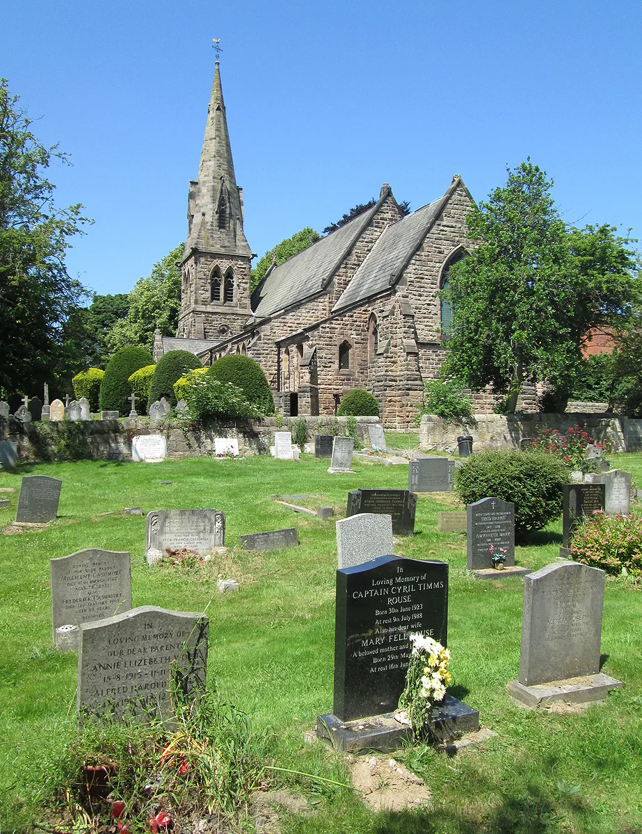
St Paul's Church, Quarndon
St Paul's Church, Quarndon — parish church in Quarndon, Amber Valley, Derbyshire, England, UK.
 📷 3
📷 3Memorials & monuments · East Midlands
Quarndon War Memorial
Quarndon War Memorial — a memorial in england-east-midlands, United Kingdom.
 📷 3
📷 3Memorials & monuments · East Midlands
The Bradshaw Stone
The Bradshaw Stone — a memorial in england-east-midlands, United Kingdom.
 📷 5
📷 5Historic churches · East Midlands
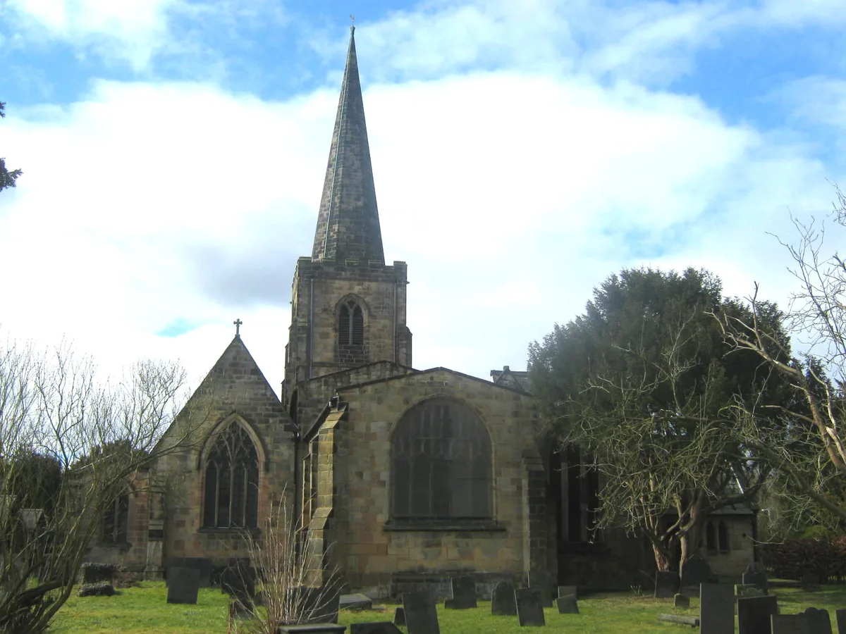
St Alkmund's Church, Duffield
St Alkmund's Church, Duffield — Grade I listed church in Duffield, Amber Valley, Derbyshire, England, UK.
 📷 4
📷 4Memorials & monuments · East Midlands
Duffield War Memorial
Duffield War Memorial — Grade II listed building-listed memorial in england-east-midlands, United Kingdom.
 📷 3
📷 3Historic houses · East Midlands
Duffield Hall
Duffield Hall — country house in Derbyshire, England, UK.
More memorials in this region
 📷 3
📷 3Memorials & monuments · East Midlands
17th Batallion Sherwood Foresters Sundial
17th Batallion Sherwood Foresters Sundial is a memorial in the United Kingdom.
 📷 3
📷 3Memorials & monuments · East Midlands
508th Parachute Infantry Regiment Roll of Honour 1944-1945
508th Parachute Infantry Regiment Roll of Honour 1944-1945 is a memorial in the United Kingdom.
.jpg?width=1200) 📷 3
📷 3Memorials & monuments · East Midlands
Afghan War Memorial
Afghan War Memorial is a memorial in the United Kingdom.
 📷 3
📷 3Memorials & monuments · East Midlands
Avenue of Remembrance
Avenue of Remembrance is a memorial in the United Kingdom.
Frequently asked questions
- Where is Quarndon Topograph?
- Quarndon Topograph is in Derbyshire, the East Midlands, United Kingdom (postcode DE22 5JT), in the parish of Quarndon.
- Is Quarndon Topograph free to visit?
- Yes, Quarndon Topograph is free to enter.
- How do I get to Quarndon Topograph?
- The nearest railway station is Duffield, about 2.2 km away. Drivers can navigate to postcode DE22 5JT.