Islands · South East England
Q9679
Also known as: Ynys Wyth, Inis Iocht
Q9679 — island, county and unitary authority area of England, United Kingdom.

Wikimedia Commons contributors — see linked file page for photographer and licence licence
Plan your visit
- Typical visit
- 4 h–12 h
- Nearest railway station
- Wootton · 4.6 km
- Free entry
- Dog-friendly
About
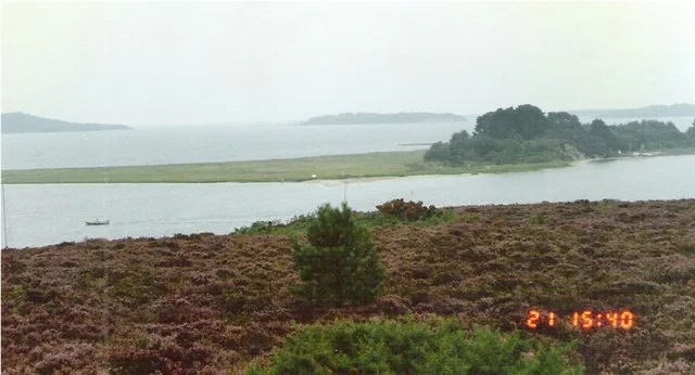
Q9679 is a island in the United Kingdom. It covers approximately 380 km². Recent population estimates put it at around 140,459 people. Part of South East England. Wikidata describes it as: "island, county and unitary authority area of England, United Kingdom". Coordinates: 50.7000°, -1.3000°.
Photo gallery
Protected designations
- Area of Outstanding Natural Beauty: Isle Of Wight
Designations sourced from Natural England open data under OGL v3.
From the Wikipedia article
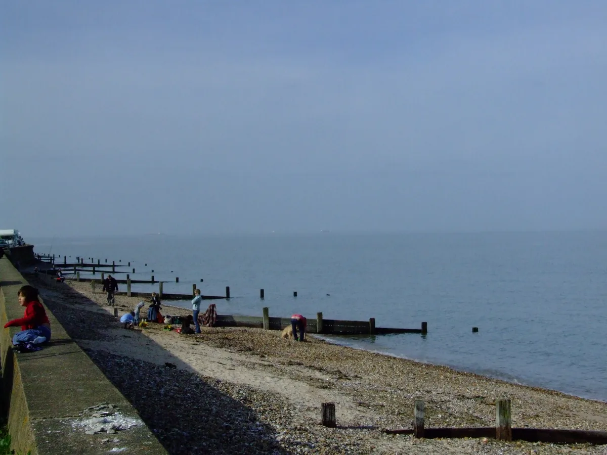
The Isle of Wight ( WYTE) is an island off the south coast of England which, together with its surrounding uninhabited islets and skerries, is also a ceremonial county. The county is bordered by Hampshire across the Solent strait to the north, and is otherwise surrounded by the English Channel. Its largest settlement is Ryde, and the administrative centre is Newport. The Isle of Wight has a land area of 380 km2 (150 sq mi) and had an estimated population of 141,660 in 2024. The island is largely rural, with the largest settlements primarily on the coast. These include Ryde in the north-east, Shanklin and Sandown in the south-east, and the large villages of Totland and Freshwater in the west. Newport is located inland at the point at which the River Medina broadens into its estuary, and Cowes and East Cowes flank the estuary on the northern coast. For local government purposes the island is a unitary authority area. It was historically part of Hampshire. The island is known for its mild climate, coastal scenery, and verdant landscape of fields, downland, and chines. It is said to be the sunniest place of Great Britain. It has been designated a UNESCO Biosphere Reserve. The distance between the Isle of Wight and mainland Great Britain is between 2 and 5 miles (3 and 8 kilometres). The island also contains dinosaur fossils. The island has played an essential part in the defence of the ports of Southampton and Portsmouth and has been near the front line of conflicts through the ages, having faced the Spanish Armada and weathered the Battle of Britain. From the Victorian era significant urban development took place as the island developed into a tourist destination; it was home to the poets Algernon Charles Swinburne and Alfred, Lord Tennyson, and Queen Victoria built her summer residence and final home, Osborne House, at East Cowes. It has a maritime and industrial tradition of boat-building, sail-making, the manufacture of flying boats, hovercraft, and Britain's space…
Excerpt from Wikipedia under CC BY-SA 4.0. See the source article linked in Sources below.
Background
Visiting
The island's heritage is a major asset that has for many years supported its tourist economy. Holidays focused on natural heritage, including wildlife and geology, are becoming an alternative to the traditional British seaside holiday, which went into decline in the second half of the 20th century due to the increased affordability of foreign holidays. The island is still an important destination for coach tours from other parts of the United Kingdom. , looking east towards Blackgang]] Tourism is still the largest industry, and most island towns and villages offer hotels, hostels and camping sites. In 1999, it hosted 2.7 million visitors, with 1.5 million staying overnight, and 1.2 million…
Sourced from Wikipedia under CC BY-SA 4.0.
- Coordinates
- 50.7000, -1.3000
- District
- Isle of Wight
- Parish
- Newport and Carisbrooke
- Postcode
- PO30 5ED
- Parliamentary constituency
- Isle of Wight West
- Population
- 140,459
- Nearest railway station
- Wootton — 4.6 km
- Official site
- www.iwight.com
Sources
- wikidata: Q9679 (CC0)
- wikipedia: Isle of Wight (CC BY-SA 4.0)
- commons: IsleOfWightFromTheISS.jpg (CC BY-SA 4.0)
Featured in these 3 guides
Other places nearby
Loading nearby places…
Nearby
 📷 5
📷 5Memorials & monuments · South East England
Simeon Horse Trough
Simeon Horse Trough — a memorial in england-south-east, United Kingdom.
_(1).JPG?width=1200) 📷 5
📷 5Historic houses · South East England
Holyrood Hall Holyrood Hall, Friends Meeting House
Holyrood Hall Holyrood Hall, Friends Meeting House — house in Newport, Isle of Wight, England, UK.
 📷 5
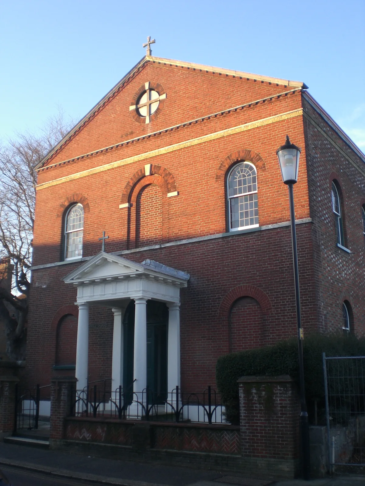
📷 5Historic churches · South East England
Saint Thomas of Canterbury church
Saint Thomas of Canterbury church — Catholic church in Newport, Isle of Wight, England, UK.
 📷 5
📷 5Public art & sculpture · South East England
History Book
History Book — a public art in england-south-east, United Kingdom.
📷 5Escape rooms · South East England
Random Rooms
Random Rooms — a escape room in england-south-east, United Kingdom.
 📷 5
📷 5Memorials & monuments · South East England
Earl Mountbatten Memorial
Earl Mountbatten Memorial — a memorial in england-south-east, United Kingdom.
More places in this region
 Flagship📷 10
Islands · South East England
Brownsea Island
Brownsea Island — island in Poole Harbour, Dorset, England, UK.
 Flagship📷 10
Islands · South East England
Hayling Island
Hayling Island — island off the south coast of England.
 Flagship📷 7
Islands · South East England
Isle of Sheppey
Isle of Sheppey — island off the northern coast of Kent, England in the Thames Estuary.
 Flagship📷 10
Islands · South East England
Long Island
Long Island — island in Dorset, England.
Frequently asked questions
- Where is Q9679?
- Q9679 is in South-East England, United Kingdom (postcode PO30 5ED), in the parish of Newport and Carisbrooke.
- Is Q9679 a protected site?
- Yes — Q9679 is part of the Isle Of Wight National Landscape (AONB).
- Is Q9679 free to visit?
- Yes, Q9679 is free to enter.
- How do I get to Q9679?
- The nearest railway station is Wootton, about 4.6 km away. Drivers can navigate to postcode PO30 5ED.