Islands · South East England
Portsea Island
Portsea Island is a island in the United Kingdom.

Wikimedia Commons contributors — see linked file page for photographer and licence licence
Plan your visit
- Typical visit
- 4 h–12 h
- Nearest railway station
- Fratton · 0.7 km
- Free entry
- Dog-friendly
About
Portsea Island is a island in the United Kingdom. It covers approximately 24 km². Coordinates: 50.8025°, -1.0700°. This entry is part of The Great Britain Guide, a free, ad-free, open-data tourist directory.
Photo gallery
From the Wikipedia article
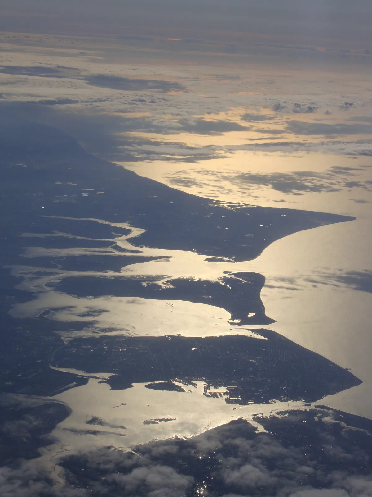
Portsea Island is a flat and low-lying natural island 24.5 square kilometres (9.5 sq mi; 6,100 acres) in area, just off the southern coast of Hampshire in England. The island contains the majority of the city of Portsmouth. Portsea Island has the third-largest population of all the islands in the British Isles after the mainlands of Great Britain and Ireland; it also has the highest population density of any British Isle, and Portsmouth has the highest population density of any city in the UK outside of London. To the east of Portsea Island lies Hayling Island, separated by Langstone Harbour. To the west is the peninsular mainland town of Gosport, separated by Portsmouth Harbour. To the south, it faces into the Spithead area of the wider Solent. A narrow tidal channel along the northern edge of Portsea Island, known as Portsea Creek, separates Portsea Island from the mainland. Three roads connect Portsea Island to the mainland road network: the M275 motorway, the A3 London Road (split on two separate bridges), and the A2030 Eastern Road. There are also two pedestrian and bicycle bridges over Portsea Creek. In Portsmouth Harbour, a road bridge connects Portsea Island to Whale Island, a restricted Royal Navy shore base establishment. Portsea Island has four railway stations (Portsmouth Harbour, Portsmouth & Southsea, Fratton and Hilsea) connected by an island branch line to the mainland railway network via a short railway bridge over Portsea Creek. In addition there are ferry services to Gosport (on the mainland), Hayling Island and the Isle of Wight. There are also ferries to the Channel Islands, northern France and northern Spain.
Excerpt from Wikipedia under CC BY-SA 4.0. See the source article linked in Sources below.
Background
History
Two Bronze Age hoards and a hoard of Roman coins have been found on the island. In 979 AD the island was raided by Danes. At the time of the Domesday Book, three manors were recorded as being on the island.
Sourced from Wikipedia under CC BY-SA 4.0.
- Coordinates
- 50.8025, -1.0700
- District
- Portsmouth
- Parish
- Portsmouth, unparished area
- Postcode
- PO1 5PT
- Parliamentary constituency
- Portsmouth South
- Nearest railway station
- Fratton — 0.7 km
Sources
- wikidata: Q1228829 (CC0)
- wikipedia: Portsea Island (CC BY-SA 4.0)
- commons: SelseyHaylingPortsea.JPG (CC BY-SA 4.0)
Featured in this guide
Other places nearby
Loading nearby places…
Nearby
 📷 5
📷 5Memorials & monuments · South East England
Steam Engine Makers Society Memorial (HMS Thunderer), Kingston Cemetery
Steam Engine Makers Society Memorial (HMS Thunderer), Kingston Cemetery — Grade II listed building-listed memorial in england-south-east, United Kingdom.
 📷 5
📷 5Chapels · South East England
East And West Chapels, Kingston Cemetery
East And West Chapels, Kingston Cemetery — chapel in Portsmouth, Hampshire, England, UK.
 📷 5
📷 5Memorials & monuments · South East England
The Polish Memorial
The Polish Memorial — a memorial in england-south-east, United Kingdom.
 📷 5
📷 5Cemeteries · South East England
Kingston Cemetery
Kingston Cemetery is a cemetery in the United Kingdom.
 📷 5
📷 5Historic churches · South East England
St Mary's Church
St Mary's Church — church in Portsmouth, Hampshire, England, UK.
 📷 5
📷 5Memorials & monuments · South East England
Civilians Memorial
Civilians Memorial — a memorial in england-south-east, United Kingdom.
More places in this region
 Flagship📷 10
Islands · South East England
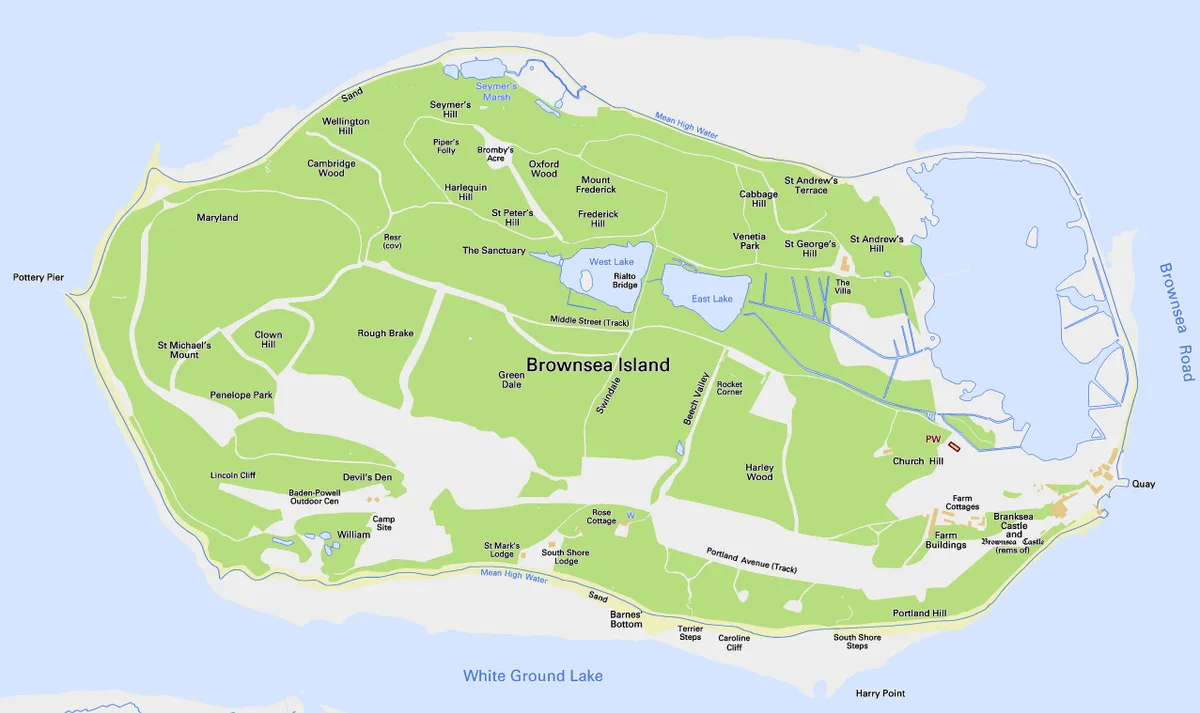
Brownsea Island
Brownsea Island — island in Poole Harbour, Dorset, England, UK.
 Flagship📷 10
Islands · South East England
Hayling Island
Hayling Island — island off the south coast of England.
 Flagship📷 7
Islands · South East England
Isle of Sheppey
Isle of Sheppey — island off the northern coast of Kent, England in the Thames Estuary.
 Flagship📷 10
Islands · South East England
Long Island
Long Island — island in Dorset, England.
Frequently asked questions
- Where is Portsea Island?
- Portsea Island is in South-East England, United Kingdom (postcode PO1 5PT), in the parish of Portsmouth, unparished area.
- Is Portsea Island free to visit?
- Yes, Portsea Island is free to enter.
- How do I get to Portsea Island?
- The nearest railway station is Fratton, about 0.7 km away. Drivers can navigate to postcode PO1 5PT.